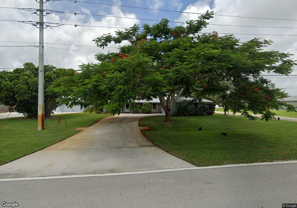
2502 SW Bayshore Blvd Port Saint Lucie, FL 34984
Canal Pointe NeighborhoodEstimated Value: $490,000 - $576,000
3
Beds
2
Baths
2,268
Sq Ft
$232/Sq Ft
Est. Value
About This Home
This home is located at 2502 SW Bayshore Blvd, Port Saint Lucie, FL 34984 and is currently estimated at $526,476, approximately $232 per square foot. 2502 SW Bayshore Blvd is a home located in St. Lucie County with nearby schools including Floresta Elementary School, Morningside Elementary School, and Northport K-8 School.
Ownership History
Date
Name
Owned For
Owner Type
Purchase Details
Closed on
Jul 1, 2003
Sold by
Robinson Ellie B and Robinson Theresa
Bought by
Landers Alan S and Landers Rosina N
Current Estimated Value
Home Financials for this Owner
Home Financials are based on the most recent Mortgage that was taken out on this home.
Original Mortgage
$172,000
Interest Rate
6.07%
Create a Home Valuation Report for This Property
The Home Valuation Report is an in-depth analysis detailing your home's value as well as a comparison with similar homes in the area
Home Values in the Area
Average Home Value in this Area
Purchase History
| Date | Buyer | Sale Price | Title Company |
|---|---|---|---|
| Landers Alan S | $259,900 | -- |
Source: Public Records
Mortgage History
| Date | Status | Borrower | Loan Amount |
|---|---|---|---|
| Previous Owner | Landers Alan S | $172,000 |
Source: Public Records
Tax History Compared to Growth
Tax History
| Year | Tax Paid | Tax Assessment Tax Assessment Total Assessment is a certain percentage of the fair market value that is determined by local assessors to be the total taxable value of land and additions on the property. | Land | Improvement |
|---|---|---|---|---|
| 2024 | $3,262 | $158,284 | -- | -- |
| 2023 | $3,262 | $153,674 | $0 | $0 |
| 2022 | $3,117 | $149,199 | $0 | $0 |
| 2021 | $3,029 | $144,854 | $0 | $0 |
| 2020 | $3,038 | $142,855 | $0 | $0 |
| 2019 | $3,005 | $139,644 | $0 | $0 |
| 2018 | $2,859 | $137,041 | $0 | $0 |
| 2017 | $2,825 | $179,800 | $49,500 | $130,300 |
| 2016 | $2,781 | $183,400 | $37,100 | $146,300 |
| 2015 | $2,803 | $147,300 | $20,600 | $126,700 |
| 2014 | $2,668 | $129,514 | $0 | $0 |
Source: Public Records
Map
Nearby Homes
- 2509 SW Cooper Ln
- 2518 SW Cooper Ln
- 2624 SW Harem Cir
- 2410 SW Bayshore Blvd
- 2613 SW Harem Cir
- 2590 SW Hinchman St
- 2385 SW Mountwell St
- 180 SW Oakridge Dr
- 2433 SW Hinchman St
- 174 SE Osprey Ridge
- 2668 SW Cameo Blvd
- 279 SW Statler Ave
- 2458 SW Hinchman St
- 2602 SW Cameo Blvd
- 171 SW Glenwood Dr
- 2574 SW Cameo Blvd
- 2757 SW Ann Arbor Rd
- 2544 SW Cameo Blvd
- 2473 SW Warwick St
- 13865 SE Blackwood Dr
- 2514 SW Bayshore Blvd
- 2498 SW Bayshore Blvd
- 2501 SW Cooper Ln
- 2520 SW Bayshore Blvd
- 2517 SW Cooper Ln
- 2517 SE Cooper Ln
- 281 SW Inwood Ave
- 2490 SW Bayshore Blvd
- 2497 SW Cooper Ln
- 2525 SE Cooper Ln
- 2526 SW Bayshore Blvd
- 2491 SW Bayshore Blvd
- 2489 SW Cooper Ln
- 2525 SW Cooper Ln
- 2533 SW Cooper Ln
- 2502 SW Cooper Ln
- 2510 SW Cooper Ln
- 2532 SW Bayshore Blvd
- 2502 SE Cooper Ln
- 273 SW Inwood Ave