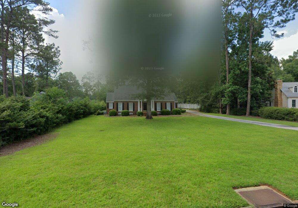
2503 Kinloch Ct Albany, GA 31721
Saint Andrews NeighborhoodEstimated Value: $271,849 - $279,000
3
Beds
3
Baths
2,239
Sq Ft
$123/Sq Ft
Est. Value
About This Home
This home is located at 2503 Kinloch Ct, Albany, GA 31721 and is currently estimated at $274,462, approximately $122 per square foot. 2503 Kinloch Ct is a home located in Dougherty County with nearby schools including Live Oak Elementary School, Merry Acres Middle School, and Westover High School.
Ownership History
Date
Name
Owned For
Owner Type
Purchase Details
Closed on
Aug 29, 1997
Sold by
Scruggs Gary B and Scruggs Jordann
Bought by
Dozier Tinsley B
Current Estimated Value
Purchase Details
Closed on
Jun 29, 1995
Sold by
Robertson Carey E and Robertson Shirley A
Bought by
Scruggs Gary B and Scruggs Jordann
Purchase Details
Closed on
Nov 18, 1993
Sold by
Cooper Gary
Bought by
Robertson Carey E
Purchase Details
Closed on
Mar 20, 1985
Sold by
St Andrews Ii Inc
Bought by
Cooper Gary
Create a Home Valuation Report for This Property
The Home Valuation Report is an in-depth analysis detailing your home's value as well as a comparison with similar homes in the area
Home Values in the Area
Average Home Value in this Area
Purchase History
| Date | Buyer | Sale Price | Title Company |
|---|---|---|---|
| Dozier Tinsley B | $135,500 | -- | |
| Scruggs Gary B | $130,000 | -- | |
| Robertson Carey E | $128,000 | -- | |
| Cooper Gary | -- | -- |
Source: Public Records
Tax History Compared to Growth
Tax History
| Year | Tax Paid | Tax Assessment Tax Assessment Total Assessment is a certain percentage of the fair market value that is determined by local assessors to be the total taxable value of land and additions on the property. | Land | Improvement |
|---|---|---|---|---|
| 2024 | $3,330 | $71,800 | $7,080 | $64,720 |
| 2023 | $2,413 | $71,800 | $7,080 | $64,720 |
| 2022 | $3,264 | $71,800 | $7,080 | $64,720 |
| 2021 | $3,026 | $71,800 | $7,080 | $64,720 |
| 2020 | $3,033 | $71,800 | $7,080 | $64,720 |
| 2019 | $3,045 | $71,800 | $7,080 | $64,720 |
| 2018 | $3,058 | $71,800 | $7,080 | $64,720 |
| 2017 | $2,848 | $71,800 | $7,080 | $64,720 |
| 2016 | $2,850 | $71,800 | $7,080 | $64,720 |
| 2015 | $2,858 | $71,800 | $7,080 | $64,720 |
| 2014 | $2,924 | $74,320 | $9,600 | $64,720 |
Source: Public Records
Map
Nearby Homes
- 2504 W Alberson Dr
- 2600 E Doublegate Dr
- 2509 E Alberson Dr
- 2514 E Doublegate Dr
- 2532 E Alberson Dr
- 2423 E Alberson Dr
- 2530 E Alberson Dr
- 2421 E Alberson Dr
- 2720 Somerset Dr
- 3424 Bellingham Ln
- 2707 Somerset Dr
- 2823 W Doublegate Dr
- 2713 Westmeade Rd
- 2305 E Alberson Dr
- 3812 Old Dawson Rd
- 2303 Saddlebrook Ct
- 2829 N Doublegate Dr
- 3805 Burton Ct
- 2600 Shannon Rd
- 3422 Plantation Dr
- 2505 Kinloch Ct
- 2512 W Alberson Dr
- 2514 W Alberson Dr
- 2516 W Alberson Dr
- 2518 W Alberson Dr
- 2507 Kinloch Ct
- 2510 W Alberson Dr
- 2502 Kinloch Ct
- 3600 Old Dawson Rd
- 2504 Kinloch Ct
- 2515 W Alberson Dr
- 3602 Old Dawson Rd
- 2513 W Alberson Dr
- 2517 W Alberson Dr
- 2508 W Alberson Dr
- 2509 W Alberson Dr
- 2522 W Alberson Dr
- 2520 W Alberson Dr
- 2511 W Alberson Dr
- 2519 W Alberson Dr