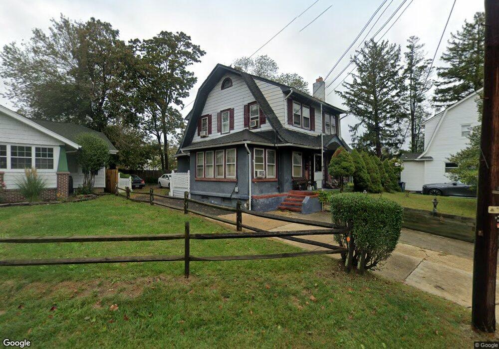
2503 State Route 33 Neptune, NJ 07753
Estimated Value: $501,000 - $552,000
3
Beds
2
Baths
1,520
Sq Ft
$350/Sq Ft
Est. Value
About This Home
This home is located at 2503 State Route 33, Neptune, NJ 07753 and is currently estimated at $531,364, approximately $349 per square foot. 2503 State Route 33 is a home located in Monmouth County with nearby schools including Neptune High School.
Ownership History
Date
Name
Owned For
Owner Type
Purchase Details
Closed on
Nov 20, 1998
Sold by
Ocean Federal Savings
Bought by
Mckelvey Robert and Mckelvey Debra
Current Estimated Value
Home Financials for this Owner
Home Financials are based on the most recent Mortgage that was taken out on this home.
Original Mortgage
$65,100
Outstanding Balance
$14,322
Interest Rate
6.68%
Estimated Equity
$517,042
Purchase Details
Closed on
Jul 28, 1998
Sold by
Corona Lawrence
Bought by
Ocean Federal Sav Bk
Create a Home Valuation Report for This Property
The Home Valuation Report is an in-depth analysis detailing your home's value as well as a comparison with similar homes in the area
Home Values in the Area
Average Home Value in this Area
Purchase History
| Date | Buyer | Sale Price | Title Company |
|---|---|---|---|
| Mckelvey Robert | $81,400 | -- | |
| Ocean Federal Sav Bk | $93,040 | -- |
Source: Public Records
Mortgage History
| Date | Status | Borrower | Loan Amount |
|---|---|---|---|
| Open | Mckelvey Robert | $65,100 |
Source: Public Records
Tax History Compared to Growth
Tax History
| Year | Tax Paid | Tax Assessment Tax Assessment Total Assessment is a certain percentage of the fair market value that is determined by local assessors to be the total taxable value of land and additions on the property. | Land | Improvement |
|---|---|---|---|---|
| 2025 | $6,586 | $407,500 | $229,300 | $178,200 |
| 2024 | $6,068 | $376,100 | $201,200 | $174,900 |
| 2023 | $6,068 | $336,000 | $149,900 | $186,100 |
| 2022 | $5,430 | $323,000 | $145,800 | $177,200 |
| 2021 | $5,430 | $257,000 | $120,800 | $136,200 |
| 2020 | $4,791 | $226,200 | $97,100 | $129,100 |
| 2019 | $4,680 | $218,200 | $97,100 | $121,100 |
| 2018 | $4,715 | $217,300 | $97,100 | $120,200 |
| 2017 | $4,687 | $207,500 | $97,100 | $110,400 |
| 2016 | $4,618 | $203,900 | $95,300 | $108,600 |
| 2015 | $4,483 | $201,300 | $95,300 | $106,000 |
| 2014 | $4,242 | $156,600 | $68,900 | $87,700 |
Source: Public Records
Map
Nearby Homes
- 2501 State Route 33
- 2505 State Route 33
- 2507 State Route 33
- 2510 State Route 33
- 213 Wayside Rd
- 210 Wayside Rd
- 2500 State Route 33
- 2601 Corlies Ave
- 212 Wayside Rd
- 400 Prospect Place
- 2601 State Route 33
- 230 Poplar Place
- 2601 Highway 33
- 215 Wayside Rd
- 229 Poplar Place
- 214 Victor Place
- 214 Wayside Rd
- 228 Poplar Place
- 216 Wayside Rd
- 227 Poplar Place