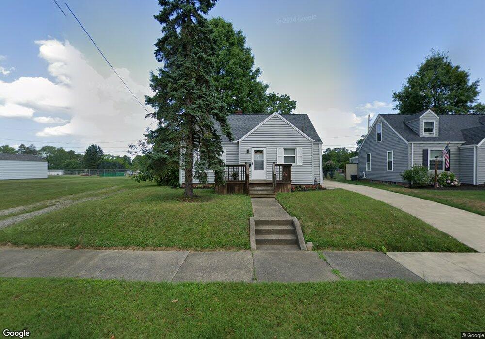
2504 Shunk Ave Alliance, OH 44601
Estimated Value: $127,000 - $156,000
3
Beds
1
Bath
828
Sq Ft
$174/Sq Ft
Est. Value
About This Home
This home is located at 2504 Shunk Ave, Alliance, OH 44601 and is currently estimated at $144,203, approximately $174 per square foot. 2504 Shunk Ave is a home located in Stark County with nearby schools including Alliance Elementary School at Rockhill, Alliance Intermediate School at Northside, and Alliance Middle School.
Ownership History
Date
Name
Owned For
Owner Type
Purchase Details
Closed on
Mar 2, 2010
Sold by
Deutsche Bank National Trust Company
Bought by
Diehl Ralph M and Diehl Laura
Current Estimated Value
Purchase Details
Closed on
Jul 21, 2009
Sold by
Ryan Dan M
Bought by
Deutsche Bank National Trust Company
Purchase Details
Closed on
Jul 25, 2005
Sold by
Ryan Stacy R and Shreiner Stacy R
Bought by
Ryan Dan M and Ryan Stacy R
Home Financials for this Owner
Home Financials are based on the most recent Mortgage that was taken out on this home.
Original Mortgage
$80,750
Interest Rate
5.71%
Mortgage Type
Stand Alone Refi Refinance Of Original Loan
Purchase Details
Closed on
Jan 29, 2003
Sold by
Ragon Stephanie
Bought by
Shreiner Stacy R
Home Financials for this Owner
Home Financials are based on the most recent Mortgage that was taken out on this home.
Original Mortgage
$52,800
Interest Rate
6.13%
Mortgage Type
Purchase Money Mortgage
Create a Home Valuation Report for This Property
The Home Valuation Report is an in-depth analysis detailing your home's value as well as a comparison with similar homes in the area
Home Values in the Area
Average Home Value in this Area
Purchase History
| Date | Buyer | Sale Price | Title Company |
|---|---|---|---|
| Diehl Ralph M | $45,000 | Fidelity National Title | |
| Deutsche Bank National Trust Company | $40,000 | None Available | |
| Ryan Dan M | -- | -- | |
| Shreiner Stacy R | $66,000 | -- |
Source: Public Records
Mortgage History
| Date | Status | Borrower | Loan Amount |
|---|---|---|---|
| Previous Owner | Ryan Dan M | $80,750 | |
| Previous Owner | Shreiner Stacy R | $52,800 |
Source: Public Records
Tax History Compared to Growth
Tax History
| Year | Tax Paid | Tax Assessment Tax Assessment Total Assessment is a certain percentage of the fair market value that is determined by local assessors to be the total taxable value of land and additions on the property. | Land | Improvement |
|---|---|---|---|---|
| 2025 | -- | $39,340 | $10,920 | $28,420 |
| 2024 | -- | $39,340 | $10,920 | $28,420 |
| 2023 | $1,298 | $31,540 | $8,470 | $23,070 |
| 2022 | $653 | $31,540 | $8,470 | $23,070 |
| 2021 | $1,310 | $31,540 | $8,470 | $23,070 |
| 2020 | $1,202 | $27,030 | $7,390 | $19,640 |
| 2019 | $1,186 | $27,630 | $7,390 | $20,240 |
| 2018 | $1,218 | $27,630 | $7,390 | $20,240 |
| 2017 | $1,124 | $25,030 | $6,830 | $18,200 |
| 2016 | $910 | $20,100 | $6,830 | $13,270 |
| 2015 | $918 | $20,100 | $6,830 | $13,270 |
| 2014 | $879 | $18,340 | $6,230 | $12,110 |
| 2013 | $438 | $18,340 | $6,230 | $12,110 |
Source: Public Records
Map
Nearby Homes
- 2705 Shunk Ave
- 2839 S Rockhill Ave
- 549 Linwood Dr
- 2372 S Union Ave
- 2405 Cherry Ave
- 3101 Ridgehill Ave
- 1059 Oakwood Dr
- 236 E Milton St
- 884 W College Rd
- 2460 S Arch Ave
- 2408 S Linden Ave
- 1515 S Rockhill Ave
- 317 E State St
- 112 E College St
- 2112 Blenheim Ave
- 2195 Blenheim Ave
- 2218 S Freedom Ave
- 555 E Milton St
- 2376 S Seneca Ave
- 277 W Carol St