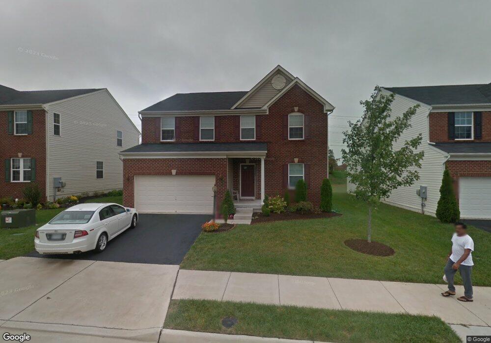
25043 White Sands Dr Chantilly, VA 20152
Estimated Value: $967,422 - $1,050,000
--
Bed
5
Baths
3,220
Sq Ft
$314/Sq Ft
Est. Value
About This Home
This home is located at 25043 White Sands Dr, Chantilly, VA 20152 and is currently estimated at $1,012,356, approximately $314 per square foot. 25043 White Sands Dr is a home located in Loudoun County with nearby schools including Liberty Elementary School, Mercer Middle School, and John Champe High School.
Ownership History
Date
Name
Owned For
Owner Type
Purchase Details
Closed on
Apr 26, 2023
Sold by
Puri Arvind and Puri Shefali
Bought by
Puri Arvind
Current Estimated Value
Purchase Details
Closed on
Sep 7, 2010
Sold by
Nvr Inc
Bought by
Puri Arvind and Dalla Shefali
Home Financials for this Owner
Home Financials are based on the most recent Mortgage that was taken out on this home.
Original Mortgage
$415,016
Interest Rate
4.55%
Mortgage Type
New Conventional
Create a Home Valuation Report for This Property
The Home Valuation Report is an in-depth analysis detailing your home's value as well as a comparison with similar homes in the area
Home Values in the Area
Average Home Value in this Area
Purchase History
| Date | Buyer | Sale Price | Title Company |
|---|---|---|---|
| Puri Arvind | -- | Ekko Title | |
| Puri Arvind | $518,770 | -- |
Source: Public Records
Mortgage History
| Date | Status | Borrower | Loan Amount |
|---|---|---|---|
| Previous Owner | Puri Arvind | $415,016 |
Source: Public Records
Tax History Compared to Growth
Tax History
| Year | Tax Paid | Tax Assessment Tax Assessment Total Assessment is a certain percentage of the fair market value that is determined by local assessors to be the total taxable value of land and additions on the property. | Land | Improvement |
|---|---|---|---|---|
| 2025 | $7,767 | $964,900 | $297,300 | $667,600 |
| 2024 | $7,771 | $898,340 | $272,300 | $626,040 |
| 2023 | $7,296 | $833,880 | $272,300 | $561,580 |
| 2022 | $7,302 | $820,490 | $242,300 | $578,190 |
| 2021 | $6,751 | $688,880 | $207,300 | $481,580 |
| 2020 | $6,422 | $620,440 | $197,300 | $423,140 |
| 2019 | $6,390 | $611,460 | $197,300 | $414,160 |
| 2018 | $6,293 | $579,970 | $177,300 | $402,670 |
| 2017 | $6,341 | $563,600 | $177,300 | $386,300 |
| 2016 | $6,319 | $551,890 | $0 | $0 |
| 2015 | $6,170 | $366,280 | $0 | $366,280 |
| 2014 | $5,935 | $336,560 | $0 | $336,560 |
Source: Public Records
Map
Nearby Homes
- 24994 White Fir Ct
- 42344 Abney Wood Dr
- 25202 Justice Dr
- 42006 Kudu Ct
- 25272 Oribi Place
- 42210 Terrazzo Terrace
- 24958 Brookbark Terrace
- 24769 Stone Pillar Dr
- 41925 Moreland Mine Terrace
- 24661 Clock Tower Square
- 25065 Riding Center Dr
- 42104 Fremont Preserve Square
- 42643 Homefront Terrace
- Tia 24-F2 Plan at Prosperity Plains
- 41971 Blue Flag Terrace
- 41973 Blue Flag Terrace
- 25362 Vacation Place
- 24666 Buttonbush Terrace
- 24634 Rosebay Terrace
- 41863 Cinnabar Square
- 25039 White Sands Dr
- 25047 White Sands Dr
- 25035 White Sands Dr
- 25051 White Sands Dr
- 42229 Palm Cove Ct
- 25031 White Sands Dr
- 25055 White Sands Dr
- 42222 Oasis Ct
- 42228 Palm Cove Ct
- 0 White Sands Dr Unit LO7231012
- 0 White Sands Dr Unit 1009004008
- 42233 Palm Cove Ct
- 25059 White Sands Dr
- 25166 Gum Spring Rd
- 42232 Palm Cove Ct
- 42226 Oasis Ct
- 42237 Palm Cove Ct
- 25025 White Sands Dr
- 42236 Palm Cove Ct
- 42230 Oasis Ct