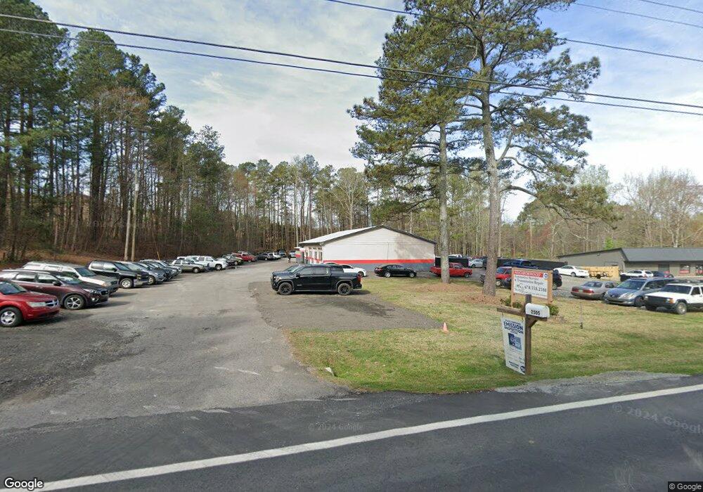
2505 Hurt Bridge Rd Cumming, GA 30028
Estimated Value: $789,687
--
Bed
--
Bath
2,887
Sq Ft
$274/Sq Ft
Est. Value
About This Home
This home is located at 2505 Hurt Bridge Rd, Cumming, GA 30028 and is currently estimated at $789,687, approximately $273 per square foot. 2505 Hurt Bridge Rd is a home located in Forsyth County with nearby schools including Poole's Mill Elementary School, Liberty Middle School, and West Forsyth High School.
Ownership History
Date
Name
Owned For
Owner Type
Purchase Details
Closed on
Jan 26, 2022
Sold by
Epling Enterprises Llc
Bought by
Conley William and Ramirez Luis
Current Estimated Value
Home Financials for this Owner
Home Financials are based on the most recent Mortgage that was taken out on this home.
Original Mortgage
$520,000
Outstanding Balance
$155,917
Interest Rate
3.22%
Mortgage Type
New Conventional
Estimated Equity
$633,770
Purchase Details
Closed on
Nov 18, 2015
Sold by
Stewart Jackie A
Bought by
Epling Enterprises Llc
Purchase Details
Closed on
Mar 31, 2009
Sold by
Alignment Friendship and Sh Body Sh
Bought by
Farris Derrick A
Home Financials for this Owner
Home Financials are based on the most recent Mortgage that was taken out on this home.
Original Mortgage
$250,526
Interest Rate
5.1%
Mortgage Type
Commercial
Create a Home Valuation Report for This Property
The Home Valuation Report is an in-depth analysis detailing your home's value as well as a comparison with similar homes in the area
Home Values in the Area
Average Home Value in this Area
Purchase History
| Date | Buyer | Sale Price | Title Company |
|---|---|---|---|
| Conley William | $625,500 | None Listed On Document | |
| Epling Enterprises Llc | -- | None Listed On Document | |
| Epling Enterprises Llc | $300,000 | -- | |
| Farris Derrick A | $55,000 | -- |
Source: Public Records
Mortgage History
| Date | Status | Borrower | Loan Amount |
|---|---|---|---|
| Open | Epling Enterprises Llc | $520,000 | |
| Previous Owner | Farris Derrick A | $250,526 |
Source: Public Records
Tax History Compared to Growth
Tax History
| Year | Tax Paid | Tax Assessment Tax Assessment Total Assessment is a certain percentage of the fair market value that is determined by local assessors to be the total taxable value of land and additions on the property. | Land | Improvement |
|---|---|---|---|---|
| 2025 | $6,127 | $400,968 | $379,680 | $21,288 |
| 2024 | $6,127 | $249,860 | $227,808 | $22,052 |
| 2023 | $6,313 | $256,488 | $227,808 | $28,680 |
| 2022 | $5,078 | $152,524 | $144,480 | $8,044 |
| 2021 | $4,212 | $152,524 | $144,480 | $8,044 |
| 2020 | $4,212 | $152,524 | $144,480 | $8,044 |
| 2019 | $4,218 | $152,528 | $144,480 | $8,048 |
| 2018 | $3,419 | $123,636 | $115,584 | $8,052 |
| 2017 | $3,406 | $122,712 | $115,584 | $7,128 |
| 2016 | $3,406 | $122,712 | $115,584 | $7,128 |
| 2015 | $3,412 | $122,712 | $115,584 | $7,128 |
| 2014 | $3,249 | $122,720 | $115,584 | $7,136 |
Source: Public Records
Map
Nearby Homes
- 3330 Carswell Bend
- 2795 Roper Rd
- 2850 Willow Bend Dr
- 3525 Montebello Pkwy
- 3220 Carswell Bend
- 0 Bethelview Rd Unit 10600103
- 0 Bethelview Rd Unit 7645827
- 0 Bethelview Rd Unit 7598310
- 0 Bethelview Rd Unit 7130265
- 0 Bethelview Rd Unit 10102046
- 2775 Marie Way
- 2765 Marie Way
- 2755 Marie Way
- 2615 Yellowstone Farm Dr
- 3505 Watson Rd
- 2725 Yellowstone Farm Dr
- 2610 Misty Hollow Ln
- 2840 Bryant Ct
- 4015 Fouts Dr
- 3735 Westhaven Dr
- 2515 Hurt Bridge Rd
- 2510 Burnt Hickory Dr
- 2510 Burnt Hickory Dr Unit 1
- 2510 Hurt Bridge Rd
- 2520 Burnt Hickory Dr
- 2555 Hurt Bridge Rd
- 2530 Hurt Bridge Rd
- 2540 Burnt Hickory Dr
- 2545 Hurt Bridge Rd
- 2465 Hurt Bridge Rd
- 2610 Burnt Hickory Dr
- 2490 Hurt Bridge Rd
- 2620 Burnt Hickory Dr
- 0 Burnt Hickory Dr Unit 7447679
- 0 Burnt Hickory Dr Unit 7085444
- 0 Burnt Hickory Dr Unit 8574446
- 0 Burnt Hickory Dr Unit 8499548
- 0 Burnt Hickory Dr Unit 8299292
- 0 Burnt Hickory Dr Unit 8068889
- 0 Burnt Hickory Dr Unit 7569918