2505 Morgantown Rd Uniontown, PA 15401
Estimated Value: $326,000 - $394,000
3
Beds
2
Baths
2,880
Sq Ft
$128/Sq Ft
Est. Value
About This Home
This home is located at 2505 Morgantown Rd, Uniontown, PA 15401 and is currently estimated at $367,567, approximately $127 per square foot. 2505 Morgantown Rd is a home located in Fayette County with nearby schools including Albert Gallatin Area Senior High School and Mount Moriah Christian School.
Ownership History
Date
Name
Owned For
Owner Type
Purchase Details
Closed on
Jun 20, 2008
Sold by
Casper Lori Ann
Bought by
Casper Robert A
Current Estimated Value
Home Financials for this Owner
Home Financials are based on the most recent Mortgage that was taken out on this home.
Original Mortgage
$243,200
Outstanding Balance
$160,544
Interest Rate
6.62%
Mortgage Type
Assumption
Estimated Equity
$207,023
Create a Home Valuation Report for This Property
The Home Valuation Report is an in-depth analysis detailing your home's value as well as a comparison with similar homes in the area
Home Values in the Area
Average Home Value in this Area
Purchase History
| Date | Buyer | Sale Price | Title Company |
|---|---|---|---|
| Casper Robert A | -- | None Available |
Source: Public Records
Mortgage History
| Date | Status | Borrower | Loan Amount |
|---|---|---|---|
| Open | Casper Robert A | $243,200 |
Source: Public Records
Tax History Compared to Growth
Tax History
| Year | Tax Paid | Tax Assessment Tax Assessment Total Assessment is a certain percentage of the fair market value that is determined by local assessors to be the total taxable value of land and additions on the property. | Land | Improvement |
|---|---|---|---|---|
| 2025 | $1,740 | $72,805 | $13,910 | $58,895 |
| 2024 | $1,740 | $72,805 | $13,910 | $58,895 |
| 2023 | $3,480 | $72,805 | $13,910 | $58,895 |
| 2022 | $3,480 | $72,805 | $13,910 | $58,895 |
| 2021 | $3,384 | $72,805 | $13,910 | $58,895 |
| 2020 | $3,384 | $72,805 | $13,910 | $58,895 |
| 2019 | $3,202 | $72,805 | $13,910 | $58,895 |
| 2018 | $3,202 | $72,805 | $13,910 | $58,895 |
| 2017 | $3,202 | $72,805 | $13,910 | $58,895 |
| 2016 | -- | $72,805 | $13,910 | $58,895 |
| 2015 | -- | $72,805 | $13,910 | $58,895 |
| 2014 | -- | $145,610 | $27,820 | $117,790 |
Source: Public Records
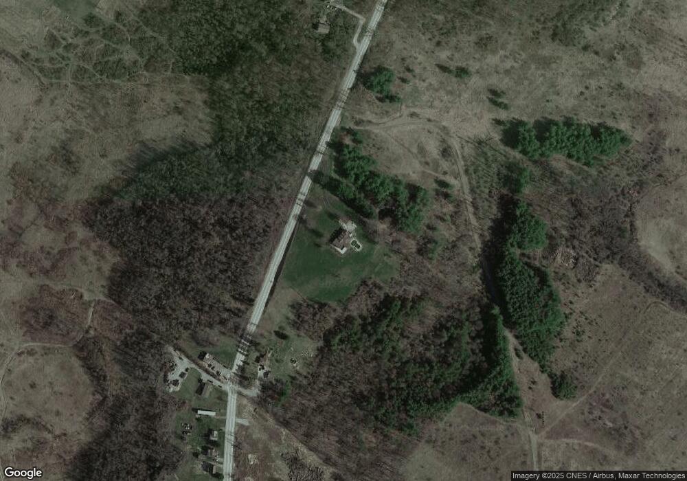
Map
Nearby Homes
- 923 Moore St
- 130 Hibbs Ln
- 23 Beth Dr
- 114 Dry Knob Rd
- 140 Firestone Rd
- 50 Lyons Ave
- 1 S Main St
- 63 Lyons Ave
- 2185 Morgantown Rd
- 44 E Church St
- 0 Smiley Rd
- 11 Brier Creek Ln
- 128 Shoaf Rd
- Smiley Rd
- 191 Sutton Rd
- 0 Brownfield Rd Unit 10160173
- 0 Brownfield Rd Unit 1707349
- 407 1st St
- 160 Brownfield Ln
- 120 Clay St
- US119-NR Wynn Rd
- 2545 Morgantown Rd
- 2554 Morgantown Rd
- 2558 Morgantown Rd
- 2560 Morgantown Rd
- 2568 Morgantown Rd
- 2574 Morgantown Rd
- 2456 Morgantown Rd
- 2578 Morgantown Rd
- 138 Zebley Rd
- 2592 Morgantown Rd
- 298 Shady Side Rd
- 2598 Morgantown Rd
- 151 Zebley Rd
- 300 Shady Side Rd
- 320 Shady Side Rd
- 139 Zebley Rd
- 284 Shady Side Rd
- 315 Shady Side Rd
- 2610 Morgantown Rd