2505 S Michael Ct McHenry, IL 60051
Estimated Value: $92,167 - $251,000
Studio
--
Bath
528
Sq Ft
$347/Sq Ft
Est. Value
About This Home
This home is located at 2505 S Michael Ct, McHenry, IL 60051 and is currently estimated at $183,042, approximately $346 per square foot. 2505 S Michael Ct is a home located in McHenry County with nearby schools including Edgebrook Elementary School, Chauncey H Duker School, and Mchenry Middle School.
Ownership History
Date
Name
Owned For
Owner Type
Purchase Details
Closed on
May 11, 2017
Sold by
Sherwin Paul D
Bought by
Sherwin Paul D
Current Estimated Value
Purchase Details
Closed on
Aug 28, 2002
Sold by
Browning J M and Browning Michelle A
Bought by
Sherwin Paul
Home Financials for this Owner
Home Financials are based on the most recent Mortgage that was taken out on this home.
Original Mortgage
$122,000
Outstanding Balance
$51,595
Interest Rate
6.41%
Estimated Equity
$131,447
Create a Home Valuation Report for This Property
The Home Valuation Report is an in-depth analysis detailing your home's value as well as a comparison with similar homes in the area
Home Values in the Area
Average Home Value in this Area
Purchase History
| Date | Buyer | Sale Price | Title Company |
|---|---|---|---|
| Sherwin Paul D | -- | None Available | |
| Sherwin Paul | $152,500 | Ticor Title |
Source: Public Records
Mortgage History
| Date | Status | Borrower | Loan Amount |
|---|---|---|---|
| Open | Sherwin Paul | $122,000 | |
| Closed | Sherwin Paul | $22,875 |
Source: Public Records
Tax History
| Year | Tax Paid | Tax Assessment Tax Assessment Total Assessment is a certain percentage of the fair market value that is determined by local assessors to be the total taxable value of land and additions on the property. | Land | Improvement |
|---|---|---|---|---|
| 2024 | $750 | $9,432 | $3,499 | $5,933 |
| 2023 | $735 | $8,459 | $3,138 | $5,321 |
| 2022 | $690 | $7,736 | $2,870 | $4,866 |
| 2021 | $665 | $7,253 | $2,691 | $4,562 |
| 2020 | $661 | $7,035 | $2,610 | $4,425 |
| 2019 | $645 | $6,688 | $2,481 | $4,207 |
| 2018 | $961 | $8,949 | $6,690 | $2,259 |
| 2017 | $948 | $8,573 | $6,409 | $2,164 |
| 2016 | $937 | $8,180 | $6,115 | $2,065 |
| 2013 | -- | $9,946 | $5,820 | $4,126 |
Source: Public Records
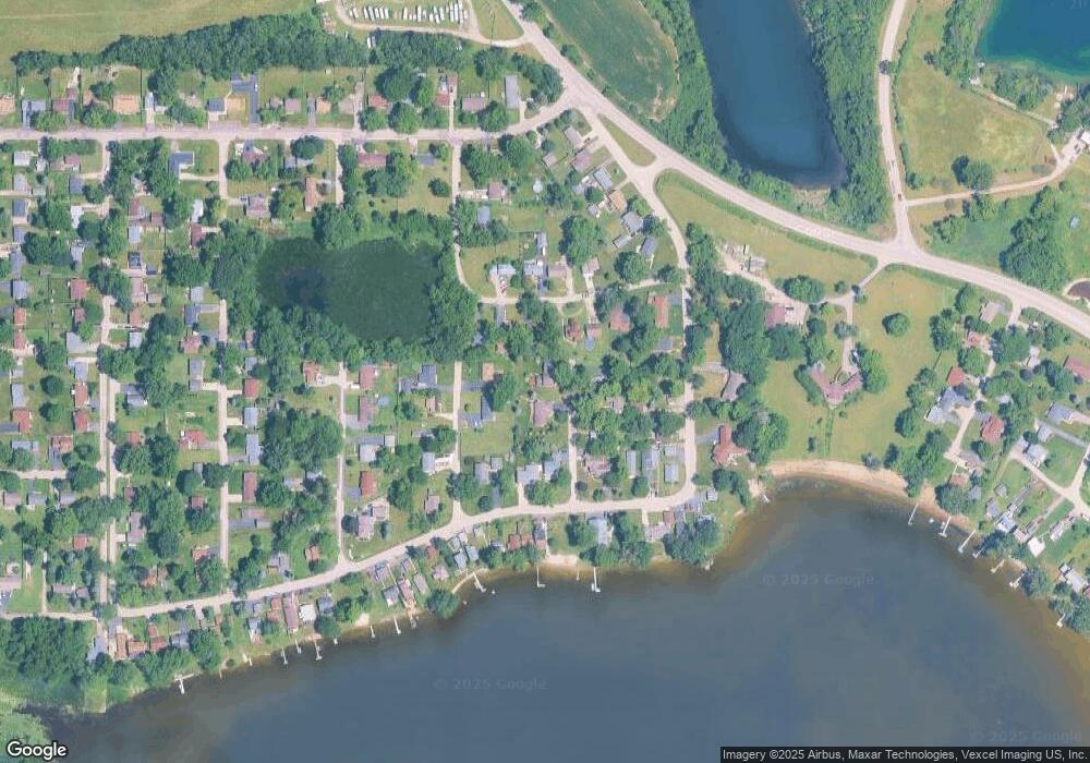
Map
Nearby Homes
- Lot 20 Holiday Dr
- Lot 5 Tower Dr
- 720 Tulip Cir
- LOT 8 W Plum St
- LOT 7 W Plum St
- 3203 S Bergman Dr
- 1807 Fargo Ave
- 000 Carman Ave S
- 727 Nantucket Way Unit 1
- 244 Red Oak Ct
- 2165 Walnut Glen Blvd
- 640 Pleasant Place Unit 2
- 2110 Silver Leaf Dr
- 3323 Charles Ct
- lot 23 Park Dr
- 411 S Lily Lake Rd
- n/a S Lily Lake Rd
- Lot 8 & 9 S Lily Lake Rd
- NEC Route 176 & Westridge Dr
- 914 Wembley Dr
- 2505 S Michael Ct
- 2509 S Michael Ct
- 2504 Kenilworth Ave
- 1111 W Violet Dr
- 2508 Kenilworth Ave
- 1107 W Violet Dr
- 1107 W Violet Dr
- 1113 W Violet Dr
- 2508 S Michael Ct
- 2506 S Michael Ct
- 2506 S Michael Ct
- 1115 W Violet Dr
- 2512 S Michael Ct
- 1114 W Northeast Shore Dr
- 1116 W Northeast Shore Dr
- 1110 W Northeast Shore Dr
- 1105 W Violet Dr
- 2507 Kenilworth Ave
- 1122 W Northeast Shore Dr
- 1106 W Violet Dr
Your Personal Tour Guide
Ask me questions while you tour the home.