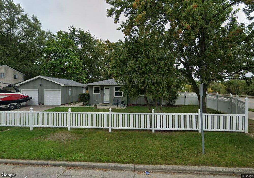
2505 S Waverly Rd Lansing, MI 48911
Averill Woods NeighborhoodEstimated Value: $237,000 - $252,000
5
Beds
3
Baths
2,022
Sq Ft
$121/Sq Ft
Est. Value
About This Home
This home is located at 2505 S Waverly Rd, Lansing, MI 48911 and is currently estimated at $245,346, approximately $121 per square foot. 2505 S Waverly Rd is a home located in Ingham County with nearby schools including Averill Elementary School, Attwood School, and J.W. Sexton High School.
Ownership History
Date
Name
Owned For
Owner Type
Purchase Details
Closed on
Jun 21, 2013
Sold by
Taylor Paul B and Taylor Karen D
Bought by
Craft Jennifer
Current Estimated Value
Home Financials for this Owner
Home Financials are based on the most recent Mortgage that was taken out on this home.
Original Mortgage
$117,727
Outstanding Balance
$85,000
Interest Rate
3.83%
Mortgage Type
FHA
Estimated Equity
$160,346
Purchase Details
Closed on
Nov 8, 2012
Sold by
Taylor Paul and Taylor Karen
Bought by
City Of Lansing
Create a Home Valuation Report for This Property
The Home Valuation Report is an in-depth analysis detailing your home's value as well as a comparison with similar homes in the area
Home Values in the Area
Average Home Value in this Area
Purchase History
| Date | Buyer | Sale Price | Title Company |
|---|---|---|---|
| Craft Jennifer | $119,900 | Transnation Title Agency | |
| City Of Lansing | $7,180 | None Available |
Source: Public Records
Mortgage History
| Date | Status | Borrower | Loan Amount |
|---|---|---|---|
| Open | Craft Jennifer | $117,727 |
Source: Public Records
Tax History Compared to Growth
Tax History
| Year | Tax Paid | Tax Assessment Tax Assessment Total Assessment is a certain percentage of the fair market value that is determined by local assessors to be the total taxable value of land and additions on the property. | Land | Improvement |
|---|---|---|---|---|
| 2025 | $5,045 | $126,500 | $16,500 | $110,000 |
| 2024 | $41 | $113,700 | $16,500 | $97,200 |
| 2023 | $4,741 | $96,300 | $16,500 | $79,800 |
| 2022 | $4,308 | $82,400 | $12,100 | $70,300 |
| 2021 | $4,213 | $75,200 | $10,600 | $64,600 |
| 2020 | $4,184 | $72,400 | $10,600 | $61,800 |
| 2019 | $4,027 | $66,900 | $10,600 | $56,300 |
| 2018 | $3,801 | $61,500 | $10,600 | $50,900 |
| 2017 | $3,568 | $61,500 | $10,600 | $50,900 |
| 2016 | $3,428 | $60,500 | $10,600 | $49,900 |
| 2015 | $3,428 | $52,200 | $21,115 | $31,085 |
| 2014 | $3,428 | $51,500 | $21,115 | $30,385 |
Source: Public Records
Map
Nearby Homes
- 3811 Cooley Dr
- 3614 Cooley Dr
- 2 Locust Ln
- 4.5 Locust Ln
- 3421 Troon Cir Unit 29
- 3601 Muirfield Dr
- 3510 Christine Dr
- 3425 Cooley Dr
- 3416 Cooley Dr
- 3508 Muirfield Dr
- 3600 Sandhurst Dr
- 2800 S Waverly Hwy
- 2838 Sunderland Rd
- 3333 Moores River Dr Unit 812
- 3310 W Mount Hope Ave
- 3214 Gingersnap Ln
- 2710 Bedford Rd
- 3200 Lawdor Rd
- 2201 Pamela Place
- 3700 W Holmes Rd
- 13 Coolidge Rd
- 2515 S Waverly Rd
- 3810 Cooley Dr
- 3805 Cooley Dr
- 3800 Cooley Dr
- 3812 Inverary Dr
- 3721 Cooley Dr
- 3720 Cooley Dr
- 3818 Inverary Dr
- 3800 Inverary Dr
- 3709 Cooley Dr
- 3714 Cooley Dr
- 2600 S Waverly Rd
- 3815 Inverary Dr
- 3831 Moores River Dr
- 3726 Inverary Dr
- 3801 Inverary Dr
- 3633 Cooley Dr
- 3639 Sawgrass Cir Unit 50
- 3632 Cooley Dr