2505 SW Whiteside Dr Corvallis, OR 97333
Southwest Corvallis NeighborhoodEstimated Value: $950,721 - $986,000
2
Beds
4
Baths
2,042
Sq Ft
$474/Sq Ft
Est. Value
About This Home
This home is located at 2505 SW Whiteside Dr, Corvallis, OR 97333 and is currently estimated at $967,930, approximately $474 per square foot. 2505 SW Whiteside Dr is a home located in Benton County with nearby schools including Adams Elementary School, Linus Pauling Middle School, and Corvallis High School.
Ownership History
Date
Name
Owned For
Owner Type
Purchase Details
Closed on
Oct 4, 2001
Sold by
Evashevski Jean F
Bought by
Evashevski Forest and Evashevski Jean F
Current Estimated Value
Home Financials for this Owner
Home Financials are based on the most recent Mortgage that was taken out on this home.
Original Mortgage
$205,000
Interest Rate
6.91%
Mortgage Type
Purchase Money Mortgage
Create a Home Valuation Report for This Property
The Home Valuation Report is an in-depth analysis detailing your home's value as well as a comparison with similar homes in the area
Home Values in the Area
Average Home Value in this Area
Purchase History
| Date | Buyer | Sale Price | Title Company |
|---|---|---|---|
| Evashevski Forest | -- | -- |
Source: Public Records
Mortgage History
| Date | Status | Borrower | Loan Amount |
|---|---|---|---|
| Closed | Evashevski Forest | $205,000 |
Source: Public Records
Tax History Compared to Growth
Tax History
| Year | Tax Paid | Tax Assessment Tax Assessment Total Assessment is a certain percentage of the fair market value that is determined by local assessors to be the total taxable value of land and additions on the property. | Land | Improvement |
|---|---|---|---|---|
| 2025 | $11,247 | $603,071 | -- | -- |
| 2024 | $11,247 | $585,506 | -- | -- |
| 2023 | $10,591 | $568,452 | $0 | $0 |
| 2022 | $10,281 | $551,895 | $0 | $0 |
| 2021 | $10,473 | $576,798 | $0 | $0 |
| 2020 | $10,424 | $559,998 | $0 | $0 |
| 2019 | $9,353 | $543,687 | $0 | $0 |
| 2018 | $9,428 | $527,851 | $0 | $0 |
| 2017 | $8,575 | $512,477 | $0 | $0 |
| 2016 | $8,094 | $490,870 | $0 | $0 |
| 2015 | $8,279 | $497,550 | $0 | $0 |
| 2014 | $7,956 | $476,300 | $0 | $0 |
| 2012 | -- | $410,620 | $0 | $0 |
Source: Public Records
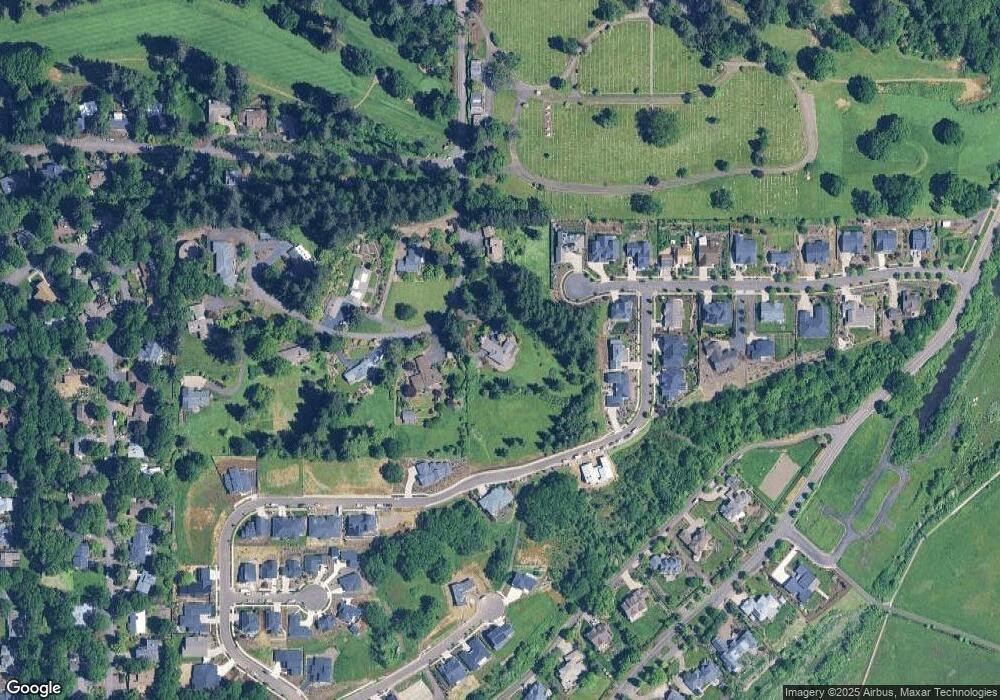
Map
Nearby Homes
- 2604 SW Wolverine Dr
- 3475 SW Buckeye Place
- 2632 SW Brooklane Dr
- 2829 SW Wolverine Dr
- 2520 SW Whiteside Dr
- 1907 SW Brooklane Dr
- TA 421203 SW Philomath Bl
- 0 SW Herbert (57 Acres) Ave
- 4525 SW Nash Ave
- 4651 SW 47th Place
- 4530 SW Nash (Next To) Ave
- 4149 SW Research Way
- 4942 SW Hollyhock Cir
- 4900 SW Hollyhock Cir
- 4968 SW Kara Ave
- 420 SW Wake Robin (-450) Ave
- 1080 SW 35th St
- 413 SW Butterfield Place
- 2551 SW Pickford St Unit D
- 2551 SW Pickford St
- 2535 SW Whiteside Dr
- 2495 SW Whiteside Dr
- 3428 SW Hawkeye Ave
- 3463 SW Hawkeye Ave
- 2500 SW Whiteside Dr
- 2554 SW Wolverine Dr
- 2500 SW Whiteside (Next To) Dr
- 2630 SW Wolverine Dr
- 2555 SW Whiteside Dr
- 3427 SW Hawkeye Ave
- 2613 SW Wolverine Dr
- 2559 SW Wolverine Dr
- 3463 SW Wolverine Dr
- 2585 SW Wolverine Dr
- 2540 SW Whiteside Dr
- 3357 SW Buckeye Ct
- 3345 SW Buckeye Ct
- 3337 SW Buckeye Ct
- 3306 SW Buckeye Ct
- 3391 SW Hawkeye Ave