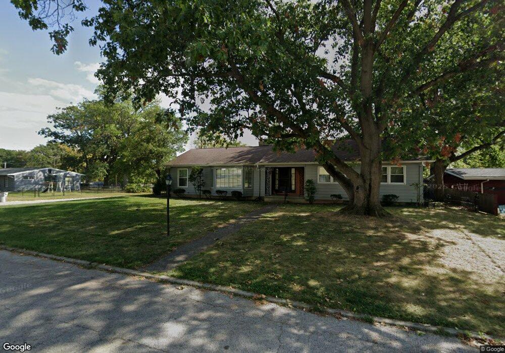
2505 W Macon St Decatur, IL 62522
West End NeighborhoodEstimated Value: $178,807 - $220,000
3
Beds
2
Baths
2,727
Sq Ft
$72/Sq Ft
Est. Value
About This Home
This home is located at 2505 W Macon St, Decatur, IL 62522 and is currently estimated at $196,702, approximately $72 per square foot. 2505 W Macon St is a home located in Macon County with nearby schools including Dennis Lab School and Teen Challenge-Home For Girls.
Ownership History
Date
Name
Owned For
Owner Type
Purchase Details
Closed on
Jul 3, 2007
Sold by
Kim Joseph J and Huttes Michelle
Bought by
Kim Joseph J
Current Estimated Value
Home Financials for this Owner
Home Financials are based on the most recent Mortgage that was taken out on this home.
Original Mortgage
$111,000
Outstanding Balance
$69,524
Interest Rate
6.54%
Mortgage Type
New Conventional
Estimated Equity
$127,178
Purchase Details
Closed on
Feb 1, 2002
Create a Home Valuation Report for This Property
The Home Valuation Report is an in-depth analysis detailing your home's value as well as a comparison with similar homes in the area
Home Values in the Area
Average Home Value in this Area
Purchase History
| Date | Buyer | Sale Price | Title Company |
|---|---|---|---|
| Kim Joseph J | -- | None Available | |
| -- | $106,000 | -- |
Source: Public Records
Mortgage History
| Date | Status | Borrower | Loan Amount |
|---|---|---|---|
| Open | Kim Joseph J | $111,000 |
Source: Public Records
Tax History Compared to Growth
Tax History
| Year | Tax Paid | Tax Assessment Tax Assessment Total Assessment is a certain percentage of the fair market value that is determined by local assessors to be the total taxable value of land and additions on the property. | Land | Improvement |
|---|---|---|---|---|
| 2024 | $4,532 | $52,818 | $6,548 | $46,270 |
| 2023 | $4,473 | $50,948 | $6,316 | $44,632 |
| 2022 | $3,879 | $43,930 | $6,994 | $36,936 |
| 2021 | $3,604 | $41,025 | $6,531 | $34,494 |
| 2020 | $3,522 | $39,121 | $6,228 | $32,893 |
| 2019 | $3,522 | $39,121 | $6,228 | $32,893 |
| 2018 | $3,183 | $36,296 | $7,013 | $29,283 |
| 2017 | $3,275 | $37,265 | $7,200 | $30,065 |
| 2016 | $3,344 | $37,645 | $7,273 | $30,372 |
| 2015 | $3,166 | $36,979 | $7,144 | $29,835 |
| 2014 | $2,935 | $36,613 | $7,073 | $29,540 |
| 2013 | $3,054 | $37,989 | $7,339 | $30,650 |
Source: Public Records
Map
Nearby Homes
- 231 S Redwood Ln
- 345 S Westdale Ave
- 198 S Westdale Ave
- 285 S Glencoe Ave
- 215 S Glencoe Ave
- 2140 W Main St
- 22 Edgewood Ct
- 21 Edgewood Ct
- 353 S Linden Ave
- 214 S Linden Ave
- 164 S Linden Ave
- 5 Ridge Ct
- 435 N Summit Ave
- 480 N Hillcrest Blvd
- 1527 W Macon St
- 635 N Virginia Ave
- 365 S Taylor Ave
- 0 Valley View Place
- 468 N Megan Dr
- 1448 W Forest Ave
- 2519 W Macon St
- 2450 W Macon St
- 304 S Redwood Ln
- 2525 W Macon St
- 288 S Redwood Ln
- 305 S Westdale Ave
- 237 S Redwood Ln
- 256 S Austin Ave
- 266 S Redwood Ln
- 2615 W Macon St
- 2420 W Macon St
- 285 S Westdale Ave
- 267 S Westdale Ave
- 319 S Westdale Ave
- 249 S Westdale Ave
- 246 S Redwood Ln
- 234 S Austin Ave
- 285 S Austin Ave
- 304 S Westdale Ave
- 223 S Westdale Ave