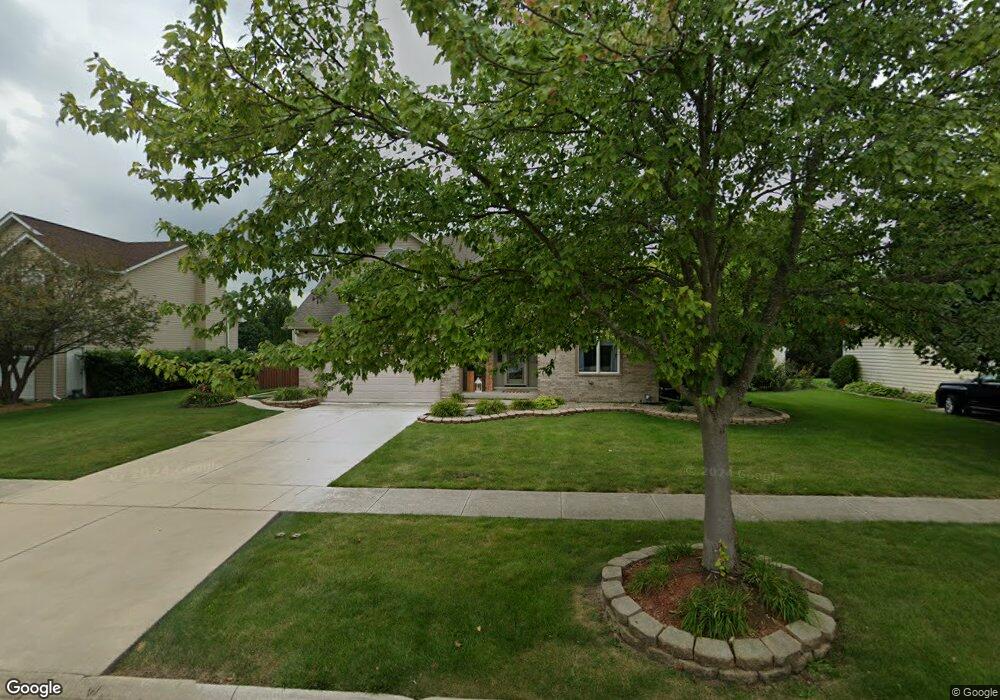
25055 Ambrose Rd Unit 2 Plainfield, IL 60585
North Plainfield NeighborhoodEstimated Value: $424,862 - $506,000
Studio
1
Bath
2,396
Sq Ft
$195/Sq Ft
Est. Value
About This Home
This home is located at 25055 Ambrose Rd Unit 2, Plainfield, IL 60585 and is currently estimated at $467,966, approximately $195 per square foot. 25055 Ambrose Rd Unit 2 is a home located in Will County with nearby schools including Walkers Grove Elementary School, Richard Ira Jones Middle School, and Plainfield North High School.
Ownership History
Date
Name
Owned For
Owner Type
Purchase Details
Closed on
Dec 8, 1995
Sold by
Royal Custom Builders Inc
Bought by
Jacobson Raymond M and Jacobson Eva M
Current Estimated Value
Home Financials for this Owner
Home Financials are based on the most recent Mortgage that was taken out on this home.
Original Mortgage
$138,000
Outstanding Balance
$2,845
Interest Rate
7.45%
Estimated Equity
$465,121
Create a Home Valuation Report for This Property
The Home Valuation Report is an in-depth analysis detailing your home's value as well as a comparison with similar homes in the area
Home Values in the Area
Average Home Value in this Area
Purchase History
| Date | Buyer | Sale Price | Title Company |
|---|---|---|---|
| Jacobson Raymond M | $187,000 | Greater Illinois Title Compa |
Source: Public Records
Mortgage History
| Date | Status | Borrower | Loan Amount |
|---|---|---|---|
| Open | Jacobson Raymond M | $138,000 |
Source: Public Records
Tax History
| Year | Tax Paid | Tax Assessment Tax Assessment Total Assessment is a certain percentage of the fair market value that is determined by local assessors to be the total taxable value of land and additions on the property. | Land | Improvement |
|---|---|---|---|---|
| 2024 | $9,732 | $141,718 | $37,050 | $104,668 |
| 2023 | $9,732 | $125,193 | $32,730 | $92,463 |
| 2022 | $8,486 | $111,892 | $30,962 | $80,930 |
| 2021 | $8,170 | $106,564 | $29,488 | $77,076 |
| 2020 | $8,163 | $104,876 | $29,021 | $75,855 |
| 2019 | $8,038 | $101,920 | $28,203 | $73,717 |
| 2018 | $7,553 | $94,325 | $27,581 | $66,744 |
| 2017 | $7,512 | $91,890 | $26,869 | $65,021 |
| 2016 | $7,528 | $89,912 | $26,291 | $63,621 |
| 2015 | $7,205 | $86,454 | $25,280 | $61,174 |
| 2014 | $7,205 | $82,233 | $25,280 | $56,953 |
| 2013 | $7,205 | $82,233 | $25,280 | $56,953 |
Source: Public Records
Map
Nearby Homes
- 25216 Round Barn Rd Unit 11
- 13204 Cinnamon Cir
- 25004 Chelsea Ln
- 13018 S Sydney Cir
- 12820 Tipperary Ln
- 12913 Waterford Ct Unit 1
- 12946 S Sydney Cir
- 13066 S Sydney Cir
- 12942 S Sydney Cir
- 12821 S Harry Cir
- 25267 Trelliage Ave
- 12854 S Sydney Cir
- 2912 Savana Dr
- 2907 Savana Dr
- 2921 Savana Dr
- 2915 Savana Dr
- 2908 Savana Dr
- 2916 Savana Dr
- 2917 Savana Dr
- 24650 W Adalyn Ct
- 25063 Ambrose Rd
- 25045 Ambrose Rd Unit 2
- 25054 Blakely Dr
- 25064 Blakely Dr
- 25046 Blakely Dr
- 25054 Ambrose Rd
- 25109 Ambrose Rd
- 25062 Ambrose Rd Unit 2
- 25106 Blakely Dr
- 25104 Ambrose Rd Unit 2
- 25030 Blakely Dr
- 25112 Ambrose Rd
- 25064 Vermette Rd
- 25055 Blakely Dr
- 25028 Ambrose Rd
- 25104 Vermette Rd
- 25056 Vermette Rd
- 25045 Blakely Dr
- 25021 Ambrose Rd
- 25114 Vermette Rd
Your Personal Tour Guide
Ask me questions while you tour the home.