2506 S Michael Ct McHenry, IL 60051
Estimated Value: $145,997 - $290,000
Studio
--
Bath
480
Sq Ft
$439/Sq Ft
Est. Value
About This Home
This home is located at 2506 S Michael Ct, McHenry, IL 60051 and is currently estimated at $210,499, approximately $438 per square foot. 2506 S Michael Ct is a home located in McHenry County with nearby schools including Edgebrook Elementary School, Chauncey H Duker School, and Mchenry Middle School.
Ownership History
Date
Name
Owned For
Owner Type
Purchase Details
Closed on
Sep 28, 2005
Sold by
Rowley Richard T and Rowley Jane W
Bought by
Stratton Lori
Current Estimated Value
Home Financials for this Owner
Home Financials are based on the most recent Mortgage that was taken out on this home.
Original Mortgage
$124,991
Outstanding Balance
$67,196
Interest Rate
5.83%
Mortgage Type
Fannie Mae Freddie Mac
Estimated Equity
$143,303
Purchase Details
Closed on
Jul 2, 2001
Sold by
Kuberski Michael A
Bought by
Rowley Richard T and Rowley Jane W
Home Financials for this Owner
Home Financials are based on the most recent Mortgage that was taken out on this home.
Original Mortgage
$100,050
Interest Rate
7.16%
Mortgage Type
FHA
Create a Home Valuation Report for This Property
The Home Valuation Report is an in-depth analysis detailing your home's value as well as a comparison with similar homes in the area
Home Values in the Area
Average Home Value in this Area
Purchase History
| Date | Buyer | Sale Price | Title Company |
|---|---|---|---|
| Stratton Lori | $124,991 | -- | |
| Rowley Richard T | $100,988 | Amerititle Inc |
Source: Public Records
Mortgage History
| Date | Status | Borrower | Loan Amount |
|---|---|---|---|
| Open | Stratton Lori | $124,991 | |
| Previous Owner | Rowley Richard T | $100,050 |
Source: Public Records
Tax History
| Year | Tax Paid | Tax Assessment Tax Assessment Total Assessment is a certain percentage of the fair market value that is determined by local assessors to be the total taxable value of land and additions on the property. | Land | Improvement |
|---|---|---|---|---|
| 2024 | $830 | $10,428 | $4,197 | $6,231 |
| 2023 | $813 | $9,352 | $3,764 | $5,588 |
| 2022 | $763 | $8,552 | $3,442 | $5,110 |
| 2021 | $735 | $8,018 | $3,227 | $4,791 |
| 2020 | $730 | $7,777 | $3,130 | $4,647 |
| 2019 | $713 | $7,394 | $2,976 | $4,418 |
| 2018 | $887 | $8,258 | $6,690 | $1,568 |
| 2017 | $875 | $7,911 | $6,409 | $1,502 |
| 2016 | $864 | $7,548 | $6,115 | $1,433 |
| 2013 | -- | $6,866 | $5,820 | $1,046 |
Source: Public Records
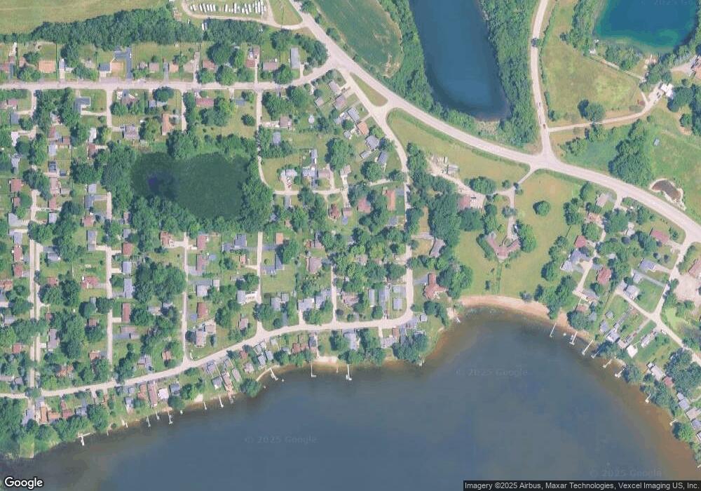
Map
Nearby Homes
- Lot 20 Holiday Dr
- Lot 5 Tower Dr
- 720 Tulip Cir
- LOT 8 W Plum St
- LOT 7 W Plum St
- 3203 S Bergman Dr
- 1807 Fargo Ave
- 244 Red Oak Ct
- 2165 Walnut Glen Blvd
- 727 Nantucket Way Unit 1
- 000 Carman Ave S
- 640 Pleasant Place Unit 2
- 2110 Silver Leaf Dr
- 3323 Charles Ct
- lot 23 Park Dr
- 411 S Lily Lake Rd
- n/a S Lily Lake Rd
- Lot 8 & 9 S Lily Lake Rd
- NEC Route 176 & Westridge Dr
- 2009 Mayfair Dr
- 2506 S Michael Ct
- 2508 S Michael Ct
- 2507 S Vaupell Dr
- 2503 S Vaupell Dr
- 2512 S Michael Ct
- 1105 W Violet Dr
- 2511 S Vaupell Dr
- 1107 W Violet Dr
- 1107 W Violet Dr
- 2505 S Michael Ct
- 2505 S Michael Ct
- 2509 S Michael Ct
- 1106 W Northeast Shore Dr
- 1110 W Northeast Shore Dr
- 1111 W Violet Dr
- 1104 W Northeast Shore Dr
- 2501 S Vaupell Dr
- 1102 W Northeast Shore Dr
- 1114 W Northeast Shore Dr
- 1113 W Violet Dr
Your Personal Tour Guide
Ask me questions while you tour the home.