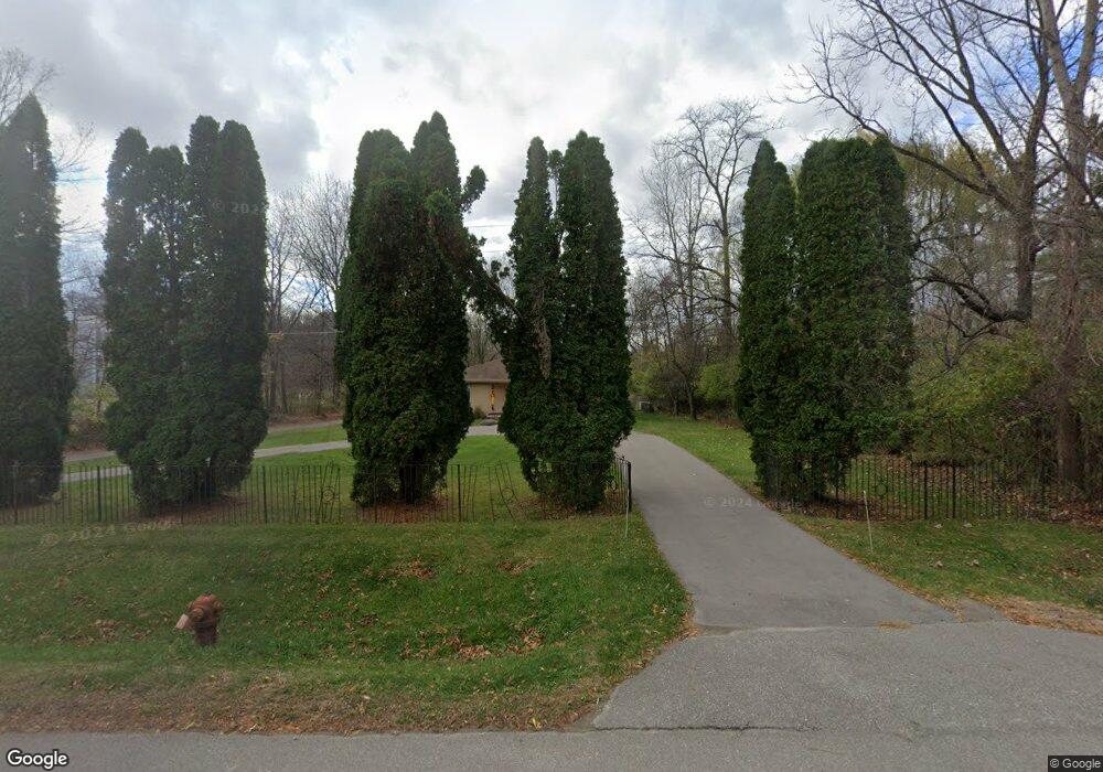
25061 Power Rd Farmington, MI 48336
Estimated Value: $411,000 - $462,000
3
Beds
2
Baths
1,834
Sq Ft
$241/Sq Ft
Est. Value
About This Home
This home is located at 25061 Power Rd, Farmington, MI 48336 and is currently estimated at $441,657, approximately $240 per square foot. 25061 Power Rd is a home located in Oakland County with nearby schools including Hillside Elementary School, Power Middle School, and Farmington High School.
Ownership History
Date
Name
Owned For
Owner Type
Purchase Details
Closed on
Sep 7, 2022
Sold by
Sibley Gregory S and Sibley Michelle L
Bought by
Sibley Gregory S and Sibley Gregory S
Current Estimated Value
Purchase Details
Closed on
May 18, 2004
Sold by
Holczman Mike and Holczman Bertha
Bought by
Sibley Gregory and Sibley Michelle
Home Financials for this Owner
Home Financials are based on the most recent Mortgage that was taken out on this home.
Original Mortgage
$261,250
Interest Rate
5.99%
Mortgage Type
Purchase Money Mortgage
Create a Home Valuation Report for This Property
The Home Valuation Report is an in-depth analysis detailing your home's value as well as a comparison with similar homes in the area
Home Values in the Area
Average Home Value in this Area
Purchase History
| Date | Buyer | Sale Price | Title Company |
|---|---|---|---|
| Sibley Gregory S | -- | Land Title | |
| Sibley Gregory S | -- | Land Title | |
| Sibley Gregory | $275,000 | Golden Title |
Source: Public Records
Mortgage History
| Date | Status | Borrower | Loan Amount |
|---|---|---|---|
| Previous Owner | Sibley Gregory | $261,250 |
Source: Public Records
Tax History Compared to Growth
Tax History
| Year | Tax Paid | Tax Assessment Tax Assessment Total Assessment is a certain percentage of the fair market value that is determined by local assessors to be the total taxable value of land and additions on the property. | Land | Improvement |
|---|---|---|---|---|
| 2024 | $3,958 | $216,480 | $27,390 | $189,090 |
| 2022 | $3,803 | $183,470 | $25,000 | $158,470 |
| 2021 | $4,334 | $171,280 | $25,000 | $146,280 |
| 2020 | $3,301 | $149,040 | $25,000 | $124,040 |
| 2018 | $3,736 | $132,810 | $0 | $0 |
| 2015 | -- | $102,830 | $0 | $0 |
| 2014 | -- | $94,490 | $0 | $0 |
| 2011 | -- | $77,290 | $0 | $0 |
Source: Public Records
Map
Nearby Homes
- 32430 Dohany Dr
- 32534 Sanctuary Ct
- 25323 Orchard Lake Rd
- 31441 Orchard Brook Ct
- 32642 W 11 Mile Rd
- 24180 Liberty Hill Dr
- 31183 Misty Pines Dr
- 33801 Argonne Rd
- 30810 Misty Pines Dr Unit 13
- 30845 Cedar Creek Dr Unit 30
- 32498 Sandstone
- 24157 Twin Valley Ct
- 32157 Leelane
- 31915 Lamar Dr
- 23870 Beacon Dr
- 31568 Marblehead Rd
- 26583 Holly Hill Dr
- 0000 Runnymede St
- 31701 Lamar Dr
- Davenport at Hillside Townes Plan at Hillside Townes
- 25019 Power Rd
- 24975 Power Rd
- 0 Power Unit 4560806
- 0 Power Unit 913573
- 0 Power Unit 2210020392
- 25066 Power Rd
- 25244 Power Rd
- 25275 Power Rd
- 32400 Rocky Crest
- 25405 Power Rd
- 24925 Power Rd
- 32375 Alameda St
- 25290 Power Rd
- 32377 Rocky Crest
- 24930 Power Rd
- 25415 Power Rd
- 32340 Rocky Crescent
- 24875 Power Rd
- 24880 Power Rd
- 32297 Alameda St