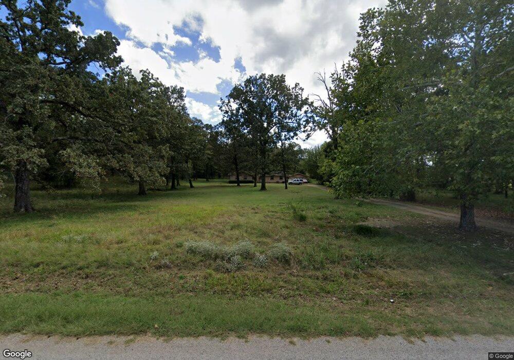
2507 Bottom Fork Rd Mansfield, AR 72944
Estimated Value: $166,000 - $401,000
Studio
--
Bath
2,010
Sq Ft
$140/Sq Ft
Est. Value
About This Home
This home is located at 2507 Bottom Fork Rd, Mansfield, AR 72944 and is currently estimated at $280,560, approximately $139 per square foot. 2507 Bottom Fork Rd is a home with nearby schools including Mansfield Elementary School, Mansfield Middle School, and Mansfield High School.
Ownership History
Date
Name
Owned For
Owner Type
Purchase Details
Closed on
Dec 29, 2015
Sold by
Fields Stella L
Bought by
Fields Stella L
Current Estimated Value
Purchase Details
Closed on
Jul 26, 2014
Bought by
Fields Stella L
Purchase Details
Closed on
Jan 16, 2007
Sold by
Deutsche Bank National Trust Co
Bought by
Fields James and Fields Stella L
Home Financials for this Owner
Home Financials are based on the most recent Mortgage that was taken out on this home.
Original Mortgage
$77,647
Interest Rate
6.11%
Mortgage Type
FHA
Create a Home Valuation Report for This Property
The Home Valuation Report is an in-depth analysis detailing your home's value as well as a comparison with similar homes in the area
Purchase History
| Date | Buyer | Sale Price | Title Company |
|---|---|---|---|
| Fields Stella L | -- | Western Arkansas Title Svcs | |
| Fields Stella L | -- | -- | |
| Fields James | $79,000 | Associates Closing & Title |
Source: Public Records
Mortgage History
| Date | Status | Borrower | Loan Amount |
|---|---|---|---|
| Previous Owner | Fields James | $77,647 |
Source: Public Records
Tax History
| Year | Tax Paid | Tax Assessment Tax Assessment Total Assessment is a certain percentage of the fair market value that is determined by local assessors to be the total taxable value of land and additions on the property. | Land | Improvement |
|---|---|---|---|---|
| 2025 | $1,185 | $38,270 | $2,275 | $35,995 |
| 2024 | $1,128 | $23,250 | $1,650 | $21,600 |
| 2023 | $704 | $23,250 | $1,650 | $21,600 |
| 2022 | $754 | $23,250 | $1,650 | $21,600 |
| 2021 | $715 | $23,250 | $1,650 | $21,600 |
| 2020 | $666 | $23,250 | $1,650 | $21,600 |
| 2019 | $618 | $20,450 | $1,570 | $18,880 |
| 2018 | $643 | $20,450 | $1,570 | $18,880 |
| 2017 | $643 | $20,450 | $1,570 | $18,880 |
| 2016 | $958 | $20,450 | $1,570 | $18,880 |
| 2015 | $958 | $20,450 | $1,570 | $18,880 |
| 2014 | $562 | $18,800 | $1,560 | $17,240 |
Source: Public Records
Map
Nearby Homes
- 9843 Abbott Loop
- 001 Hwy 71 South U S Highway 71
- 2028 Marit St
- TBD U S Highway 71
- 2005 Evan Ln
- 19124 Abbott Rd
- 1000 E Center St
- TBD LOT 1 Dayton Rd
- TBD LOT 2 Dayton Rd
- TBD LOT 3 Dayton Rd
- 503 E Broadway St
- TBD Green Needles Rd
- 903 Broadway St
- 901 E Center St
- 6501 Blackjack Mountain Rd
- 411 S 7th Ave
- 215 Highway 71 S
- 208 W Harper
- 101 N Main Ave
- 100 Packard St
- 2327 Bottom Fork Rd
- 2708 Bottom Fork Rd
- 2801 Bottom Fork Rd
- 2301 Bottom Fork Rd
- 2210 Bottom Fork Rd
- 2834 Bottom Fork Rd
- 2201 Bottom Fork Rd
- 8803 Dayton Rd
- 2301 Bottom Fork Rd
- 9201 Dayton Rd
- 8709 Dayton Rd
- 9204 Dayton Rd
- 9337 Dayton Rd
- 1916 Bottom Fork Rd
- 1900 Bottom Fork Rd
- 9501 Raymond Landtrip Rd
- 9507 Dayton Rd
- 8608 Rocky Hill Ln
- 9515 Raymond Landtrip Rd
- 8407 Dayton Rd
Your Personal Tour Guide
Ask me questions while you tour the home.