2507 Highway 9 S Dawsonville, GA 30534
Dawson County NeighborhoodEstimated Value: $369,734 - $441,000
3
Beds
2
Baths
2,080
Sq Ft
$190/Sq Ft
Est. Value
About This Home
This home is located at 2507 Highway 9 S, Dawsonville, GA 30534 and is currently estimated at $395,434, approximately $190 per square foot. 2507 Highway 9 S is a home located in Dawson County with nearby schools including Riverview Elementary School, Dawson County Middle School, and Dawson County Junior High School.
Ownership History
Date
Name
Owned For
Owner Type
Purchase Details
Closed on
Sep 4, 1998
Sold by
Bankers Trust Co Tru
Bought by
Gilleland Roger & Pa
Current Estimated Value
Purchase Details
Closed on
Dec 9, 1997
Sold by
Goodwin Emily
Bought by
Bankers Trust Co Tru
Purchase Details
Closed on
Aug 16, 1989
Sold by
Goodwin Lloyd and Goodwin Emil
Bought by
Goodwin Emily
Purchase Details
Closed on
Oct 27, 1981
Sold by
Moore Brenda Eliz
Bought by
Goodwin Lloyd and Goodwin Emil
Purchase Details
Closed on
Dec 29, 1980
Bought by
Moore Brenda Eliz
Create a Home Valuation Report for This Property
The Home Valuation Report is an in-depth analysis detailing your home's value as well as a comparison with similar homes in the area
Home Values in the Area
Average Home Value in this Area
Purchase History
| Date | Buyer | Sale Price | Title Company |
|---|---|---|---|
| Gilleland Roger & Pa | $79,000 | -- | |
| Bankers Trust Co Tru | -- | -- | |
| Goodwin Emily | -- | -- | |
| Goodwin Lloyd | $48,600 | -- | |
| Moore Brenda Eliz | $11,000 | -- |
Source: Public Records
Tax History Compared to Growth
Tax History
| Year | Tax Paid | Tax Assessment Tax Assessment Total Assessment is a certain percentage of the fair market value that is determined by local assessors to be the total taxable value of land and additions on the property. | Land | Improvement |
|---|---|---|---|---|
| 2024 | $2,065 | $124,356 | $16,280 | $108,076 |
| 2023 | $2,022 | $121,556 | $12,400 | $109,156 |
| 2022 | $1,569 | $73,232 | $10,000 | $63,232 |
| 2021 | $1,439 | $63,616 | $10,000 | $53,616 |
| 2020 | $1,449 | $61,216 | $8,840 | $52,376 |
| 2019 | $1,276 | $53,456 | $8,840 | $44,616 |
| 2018 | $1,278 | $53,456 | $8,840 | $44,616 |
| 2017 | $985 | $41,192 | $8,018 | $33,174 |
| 2016 | $938 | $39,240 | $8,018 | $31,222 |
| 2015 | $891 | $36,104 | $7,296 | $28,808 |
| 2014 | $835 | $32,783 | $7,296 | $25,487 |
| 2013 | -- | $28,472 | $7,296 | $21,176 |
Source: Public Records
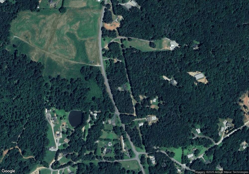
Map
Nearby Homes
- 2441 Highway 9 S
- 2607 Highway 9 S
- 2531 Highway 9 S
- 2612 Highway 9 S
- 2611 Highway 9 S
- 128 Strickland Dr
- 84 Strickland Dr
- 47 Jenkins Rd
- 2345 Highway 9 S
- 2493 Highway 9 S
- 22 Jenkins Rd
- 2411 Highway 9 S
- 57 Jenkins Rd
- 82 Jenkins Rd
- 240 Strickland Dr
- 19 Apple Ridge 2
- 2259 Highway 9 S
- 0 Apple Ridge 2 Unit 2 8443231
- 0 Apple Ridge 2 Unit 1 8443209
- 0 Nix Road Tract 2