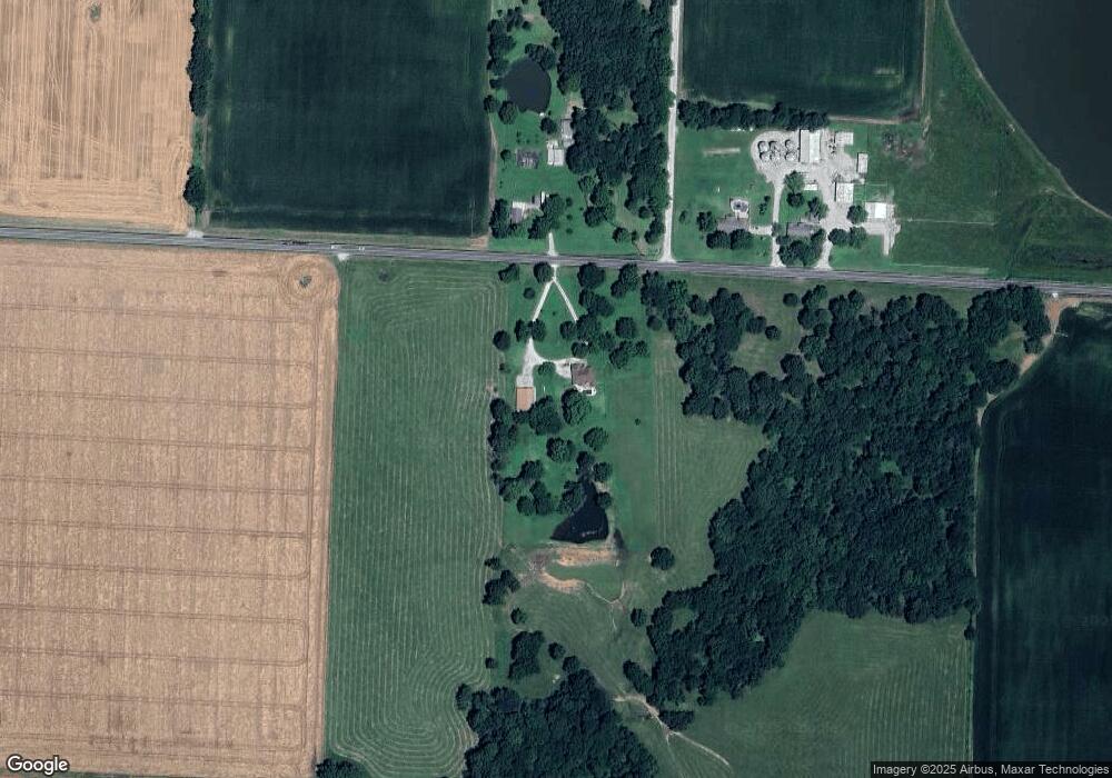
25074 Base Line Blvd Oronogo, MO 64855
Estimated Value: $390,000 - $484,707
4
Beds
3
Baths
2,453
Sq Ft
$178/Sq Ft
Est. Value
About This Home
This home is located at 25074 Base Line Blvd, Oronogo, MO 64855 and is currently estimated at $437,354, approximately $178 per square foot. 25074 Base Line Blvd is a home located in Jasper County with nearby schools including Carl Junction Primary School (K-1), Carl Junction Intermediate School, and Carl Junction Primary School (2-3).
Ownership History
Date
Name
Owned For
Owner Type
Purchase Details
Closed on
Oct 10, 2014
Sold by
Siler William Lee and Siler Marci Dean
Bought by
Strickling Brian J and Strickling Hayley M
Current Estimated Value
Home Financials for this Owner
Home Financials are based on the most recent Mortgage that was taken out on this home.
Original Mortgage
$259,163
Outstanding Balance
$198,260
Interest Rate
4.12%
Mortgage Type
New Conventional
Estimated Equity
$239,094
Create a Home Valuation Report for This Property
The Home Valuation Report is an in-depth analysis detailing your home's value as well as a comparison with similar homes in the area
Home Values in the Area
Average Home Value in this Area
Purchase History
| Date | Buyer | Sale Price | Title Company |
|---|---|---|---|
| Strickling Brian J | -- | Fatco |
Source: Public Records
Mortgage History
| Date | Status | Borrower | Loan Amount |
|---|---|---|---|
| Open | Strickling Brian J | $259,163 |
Source: Public Records
Tax History Compared to Growth
Tax History
| Year | Tax Paid | Tax Assessment Tax Assessment Total Assessment is a certain percentage of the fair market value that is determined by local assessors to be the total taxable value of land and additions on the property. | Land | Improvement |
|---|---|---|---|---|
| 2025 | $2,498 | $51,940 | $8,060 | $43,880 |
| 2024 | $2,498 | $46,550 | $8,060 | $38,490 |
| 2023 | $2,498 | $46,550 | $8,060 | $38,490 |
| 2022 | $2,537 | $46,990 | $8,060 | $38,930 |
| 2021 | $2,382 | $46,990 | $8,060 | $38,930 |
| 2020 | $2,147 | $41,580 | $8,060 | $33,520 |
| 2019 | $2,149 | $41,580 | $8,060 | $33,520 |
| 2018 | $2,199 | $42,590 | $0 | $0 |
| 2017 | $2,071 | $42,590 | $0 | $0 |
| 2016 | $2,097 | $43,490 | $0 | $0 |
| 2015 | -- | $43,490 | $0 | $0 |
| 2014 | -- | $43,220 | $0 | $0 |
Source: Public Records
Map
Nearby Homes
- 000 246 Rd
- 16435 County Road 290
- 26785 Neutral Ln
- 000 Cr 290
- 000 290 Cr
- 13106 County Lane 268
- 13030 County Lane 228
- 125 W 2nd St
- 13786 County Road 270
- 209 Earl St
- 209 N Earl St
- 27253 Locust Rd
- 210 E 6th St
- 683 Mosher Ave
- 10970 County Road 240
- 453 Stockholm St
- 301 W High St
- 203 W High St
- 9742 County Road 260
- 106 S Fox St
- 25075 Base Line Blvd
- 24975 Base Line Blvd
- 15446 State Hwy Unit 43
- 344 Swaden Ln
- 2002 Greydon Ln
- 340 Swaden Ln
- 342 Swaden Ln
- 343 Swaden Ln
- 2006 Greydon Ln
- 349 Sidney Ln
- 2312 N Greystone Square
- 338 Swaden Ln
- 2010 Greydon
- 2008 Greydon
- 2004 Greydon
- 336 Swaden Ln
- 333 Swaden Ln
- 329 Swaden Ln
- 328 E Greystone
- 330 Swaden Ln
