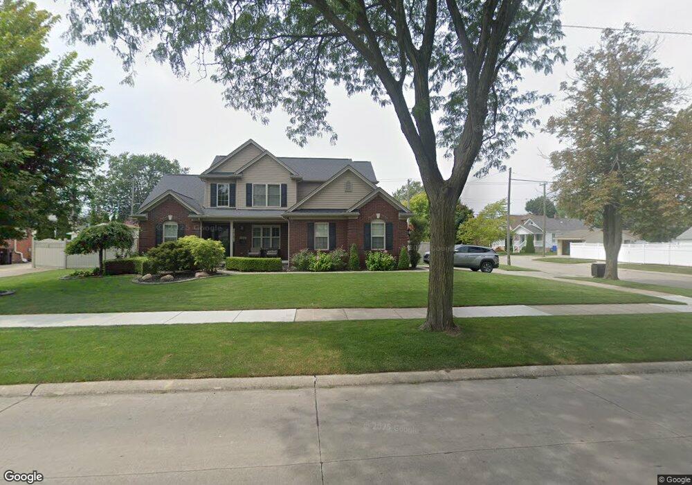
2508 12th St Wyandotte, MI 48192
Estimated Value: $365,000 - $419,000
3
Beds
2
Baths
888
Sq Ft
$452/Sq Ft
Est. Value
About This Home
This home is located at 2508 12th St, Wyandotte, MI 48192 and is currently estimated at $401,467, approximately $452 per square foot. 2508 12th St is a home located in Wayne County with nearby schools including Washington Elementary School, Woodrow Wilson School, and Roosevelt High School.
Ownership History
Date
Name
Owned For
Owner Type
Purchase Details
Closed on
Oct 1, 2020
Sold by
Lokuta Theresa
Bought by
Lokuta Miguel
Current Estimated Value
Purchase Details
Closed on
Dec 20, 2012
Sold by
Lokuta Miguel and Lokuta Theresa
Bought by
Lokuta Miguel A and Lokuta Patrice A
Purchase Details
Closed on
Jun 29, 2012
Sold by
City Of Wyandotte
Bought by
Lokuta Patrice and Lokuta Miguel
Purchase Details
Closed on
Nov 20, 2008
Sold by
Dejulian Mary Jo and Brown Mary Jo
Bought by
City Of Wyandotte
Create a Home Valuation Report for This Property
The Home Valuation Report is an in-depth analysis detailing your home's value as well as a comparison with similar homes in the area
Home Values in the Area
Average Home Value in this Area
Purchase History
| Date | Buyer | Sale Price | Title Company |
|---|---|---|---|
| Lokuta Miguel | -- | None Available | |
| Lokuta Miguel A | -- | Minnesota Title Agency | |
| Lokuta Patrice | $10,000 | Minnesota Title Agency | |
| City Of Wyandotte | $40,000 | Metropolitan Title Company | |
| Ferenc Thomas | -- | Metropolitan Title Company |
Source: Public Records
Tax History Compared to Growth
Tax History
| Year | Tax Paid | Tax Assessment Tax Assessment Total Assessment is a certain percentage of the fair market value that is determined by local assessors to be the total taxable value of land and additions on the property. | Land | Improvement |
|---|---|---|---|---|
| 2025 | $6,668 | $218,700 | $0 | $0 |
| 2024 | $6,668 | $204,800 | $0 | $0 |
| 2023 | $6,153 | $186,000 | $0 | $0 |
| 2022 | $7,127 | $169,500 | $0 | $0 |
| 2021 | $6,985 | $165,000 | $0 | $0 |
| 2020 | $6,888 | $149,900 | $0 | $0 |
| 2019 | $6,792 | $148,100 | $0 | $0 |
| 2018 | $4,988 | $116,700 | $0 | $0 |
| 2017 | $2,185 | $116,700 | $0 | $0 |
| 2016 | $6,034 | $122,800 | $0 | $0 |
| 2015 | $10,766 | $114,000 | $0 | $0 |
| 2013 | $10,430 | $104,300 | $0 | $0 |
| 2012 | -- | $0 | $0 | $0 |
Source: Public Records
Map
Nearby Homes