2508 Dawsons Point Duluth, GA 30097
Estimated Value: $1,439,000 - $1,670,000
5
Beds
7
Baths
5,252
Sq Ft
$298/Sq Ft
Est. Value
About This Home
This home is located at 2508 Dawsons Point, Duluth, GA 30097 and is currently estimated at $1,564,316, approximately $297 per square foot. 2508 Dawsons Point is a home located in Gwinnett County with nearby schools including M. H. Mason Elementary School, Hull Middle School, and Peachtree Ridge High School.
Ownership History
Date
Name
Owned For
Owner Type
Purchase Details
Closed on
Mar 4, 2009
Sold by
Suntrust Bk
Bought by
Mao Ming M and Tang Rong
Current Estimated Value
Home Financials for this Owner
Home Financials are based on the most recent Mortgage that was taken out on this home.
Original Mortgage
$417,000
Outstanding Balance
$263,156
Interest Rate
5.15%
Mortgage Type
New Conventional
Estimated Equity
$1,301,160
Purchase Details
Closed on
Nov 4, 2008
Sold by
Ridgewood Homes Llc
Bought by
Suntrust Bk
Create a Home Valuation Report for This Property
The Home Valuation Report is an in-depth analysis detailing your home's value as well as a comparison with similar homes in the area
Home Values in the Area
Average Home Value in this Area
Purchase History
| Date | Buyer | Sale Price | Title Company |
|---|---|---|---|
| Mao Ming M | $1,050,000 | -- | |
| Suntrust Bk | $1,213,327 | -- |
Source: Public Records
Mortgage History
| Date | Status | Borrower | Loan Amount |
|---|---|---|---|
| Open | Mao Ming M | $417,000 |
Source: Public Records
Tax History
| Year | Tax Paid | Tax Assessment Tax Assessment Total Assessment is a certain percentage of the fair market value that is determined by local assessors to be the total taxable value of land and additions on the property. | Land | Improvement |
|---|---|---|---|---|
| 2025 | -- | $615,440 | $100,080 | $515,360 |
| 2024 | $4,594 | $450,000 | $96,000 | $354,000 |
| 2023 | $4,594 | $450,000 | $96,000 | $354,000 |
| 2022 | $11,739 | $499,520 | $96,000 | $403,520 |
| 2021 | $11,967 | $352,120 | $76,000 | $276,120 |
| 2020 | $10,912 | $352,120 | $76,000 | $276,120 |
| 2019 | $11,613 | $349,920 | $50,000 | $299,920 |
| 2018 | $11,654 | $349,920 | $50,000 | $299,920 |
| 2016 | $10,778 | $309,040 | $50,000 | $259,040 |
| 2015 | $10,908 | $309,040 | $40,000 | $269,040 |
| 2014 | $9,572 | $262,684 | $34,000 | $228,684 |
Source: Public Records
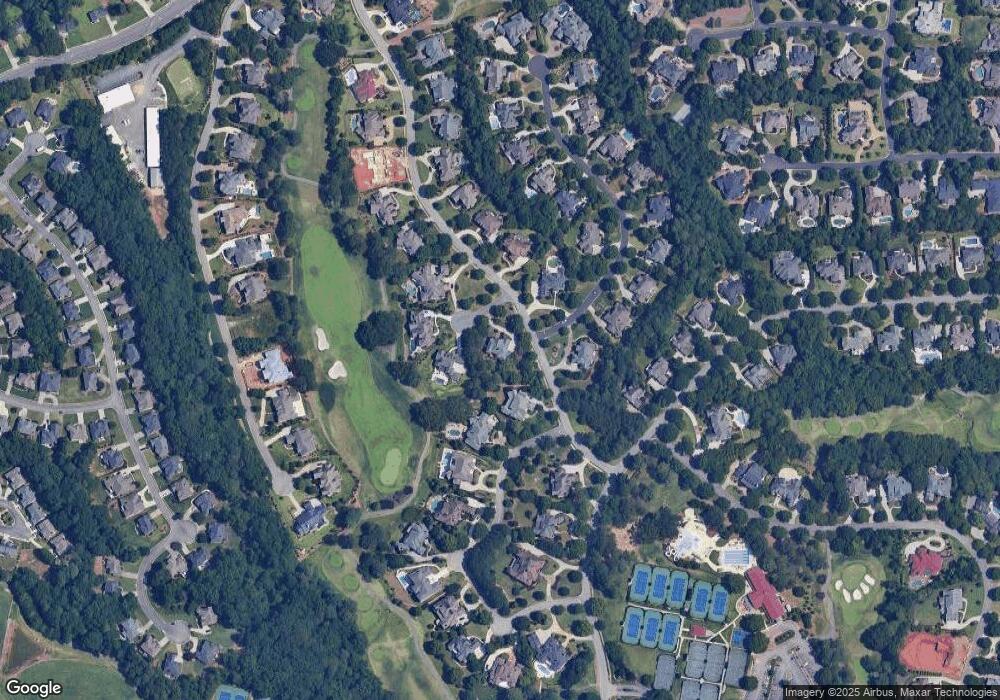
Map
Nearby Homes
- 3229 Carmichael Place
- 2281 Bransley Place
- 2429 Parcview Run Cove
- 2616 Boddie Place
- 3334 Swallowtail Terrace
- 3274 Broadfield Ct
- 2382 Harpers Way
- 2629 Kensington Dr
- 3476 Flycatcher Way
- 3476 Flycatchers Way
- 2572 Carnot Ct
- 2745 Saxon Dr
- 2761 Calloway Ct
- 3742 Terrah Point Dr
- 3742 Terrah Point Dr Unit 43
- 2016 Parsons Ridge Cir
- 2017 Parsons Ridge Cir
- 1830 Briergate Dr
- 2114 Hailston Dr
- 2957 Darlington Run
- 3695 Moye Trail
- 2518 Dawsons Point
- 3680 Moye Trail
- 2519 Dawsons Point
- 2411 Lockerly Pass
- 3690 Moye Trail
- 3665 Moye Trail
- 3670 Moye Trail
- 2386 Bransley Place
- 3660 Moye Trail
- 2421 Lockerly Pass
- 3700 Moye Trail
- 3655 Moye Trail
- 2950 Sugarloaf Club Dr
- 3705 Moye Trail
- 2361 Bransley Place
- 3650 Moye Trail NW
- 2331 Bransley Place
- 2376 Bransley Place
- 2960 Sugarloaf Club Dr
Your Personal Tour Guide
Ask me questions while you tour the home.