2508 Merrick Ct Abingdon, MD 21009
Estimated Value: $281,000 - $304,000
--
Bed
3
Baths
1,220
Sq Ft
$239/Sq Ft
Est. Value
About This Home
This home is located at 2508 Merrick Ct, Abingdon, MD 21009 and is currently estimated at $291,151, approximately $238 per square foot. 2508 Merrick Ct is a home located in Harford County with nearby schools including William S. James Elementary School, Patterson Mill Middle School, and Patterson Mill High School.
Ownership History
Date
Name
Owned For
Owner Type
Purchase Details
Closed on
May 7, 2001
Sold by
Wactor Patricia M
Bought by
Spencer Anthony
Current Estimated Value
Purchase Details
Closed on
Dec 30, 1997
Sold by
Devoe Diane S
Bought by
Wactor Patricia M and Stasiak Patricia A
Purchase Details
Closed on
Jun 6, 1991
Sold by
Meinert Karl H
Bought by
Devoe Diane S
Home Financials for this Owner
Home Financials are based on the most recent Mortgage that was taken out on this home.
Original Mortgage
$72,000
Interest Rate
9.45%
Create a Home Valuation Report for This Property
The Home Valuation Report is an in-depth analysis detailing your home's value as well as a comparison with similar homes in the area
Home Values in the Area
Average Home Value in this Area
Purchase History
| Date | Buyer | Sale Price | Title Company |
|---|---|---|---|
| Spencer Anthony | $95,000 | -- | |
| Wactor Patricia M | $89,999 | -- | |
| Devoe Diane S | $87,500 | -- |
Source: Public Records
Mortgage History
| Date | Status | Borrower | Loan Amount |
|---|---|---|---|
| Previous Owner | Devoe Diane S | $72,000 | |
| Closed | Wactor Patricia M | -- |
Source: Public Records
Tax History Compared to Growth
Tax History
| Year | Tax Paid | Tax Assessment Tax Assessment Total Assessment is a certain percentage of the fair market value that is determined by local assessors to be the total taxable value of land and additions on the property. | Land | Improvement |
|---|---|---|---|---|
| 2025 | $2,153 | $212,967 | $0 | $0 |
| 2024 | $2,153 | $197,533 | $0 | $0 |
| 2023 | $1,985 | $182,100 | $55,000 | $127,100 |
| 2022 | $1,954 | $179,267 | $0 | $0 |
| 2021 | $2,003 | $176,433 | $0 | $0 |
| 2020 | $2,003 | $173,600 | $55,000 | $118,600 |
| 2019 | $1,965 | $170,267 | $0 | $0 |
| 2018 | $1,909 | $166,933 | $0 | $0 |
| 2017 | $1,871 | $163,600 | $0 | $0 |
| 2016 | -- | $163,600 | $0 | $0 |
| 2015 | $1,846 | $163,600 | $0 | $0 |
| 2014 | $1,846 | $169,000 | $0 | $0 |
Source: Public Records
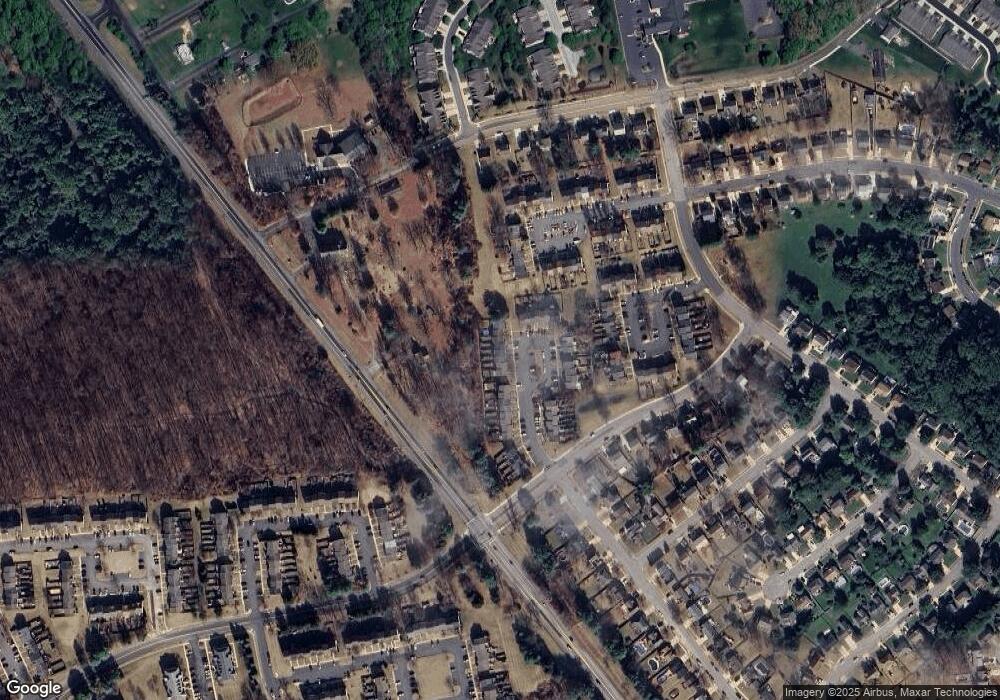
Map
Nearby Homes
- 2530 Merrick Ct
- 2601 Merrick Way
- 2521 Merrick Ct
- 129 Long Meadow Ct
- 111 Cinnamon Tree Dr
- 134 Spruce Woods Ct
- 214 Maple Wreath Ct
- 2411 Grand Oaks Ct
- 2807 Emmorton Rd
- 2608 Laurel Valley Garth
- 2414 Laurel Bush Rd
- 307 Tall Pines Ct Unit 3
- 2902 Preston Ln
- 211 E Wheel Rd
- 104 Singer Rd
- 2815 Lanarkshire Way
- 301 Tiree Ct Unit 303
- 2853 Browning Ct
- 2916 Carlyle Ct
- 2932 Carlyle Ct
- 2506 Merrick Ct
- 2510 Merrick Ct
- 2504 Merrick Ct
- 2512 Merrick Ct
- 2541 Merrick Ct
- 2502 Merrick Ct
- 2533 Merrick Ct
- 2514 Merrick Ct
- 2516 Merrick Ct
- 2518 Merrick Ct
- 2501 Merrick Ct
- 2520 Merrick Ct
- 2503 Merrick Ct
- 2500 Merrick Ct
- 2505 Merrick Ct
- 2522 Merrick Ct
- 2507 Merrick Ct
- 2524 Merrick Ct
- 2509 Merrick Ct
- 2511 Merrick Ct