Estimated Value: $382,000 - $520,346
2
Beds
2
Baths
1,828
Sq Ft
$258/Sq Ft
Est. Value
About This Home
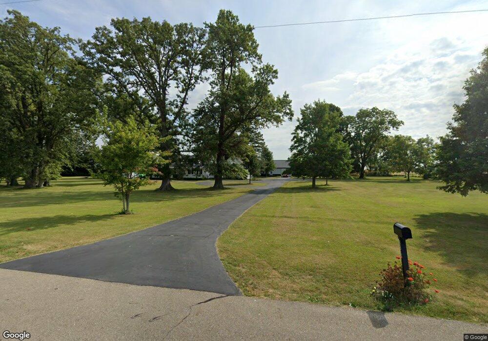
This home is located at 2508 N State Line Rd, Eaton, OH 45320 and is currently estimated at $471,449, approximately $257 per square foot. 2508 N State Line Rd is a home located in Preble County with nearby schools including National Trail Elementary School, National Trail Middle School, and National Trail High School.
Ownership History
Date
Name
Owned For
Owner Type
Purchase Details
Closed on
Aug 29, 2023
Sold by
Wolfe Eva M and Wolfe Thomas M
Bought by
Thomas M Wolfe Revocable Living Trust and Eva M Wolfe Revocable Living Trust
Current Estimated Value
Purchase Details
Closed on
Dec 8, 2010
Sold by
Bruns Stephen R
Bought by
Wolfe Thomas M and Wolfe Eva M
Purchase Details
Closed on
Aug 11, 2008
Sold by
Wolfe Thomas M and Wolfe Eva M
Bought by
Wolfe Thomas M and Wolfe Eva M
Create a Home Valuation Report for This Property
The Home Valuation Report is an in-depth analysis detailing your home's value as well as a comparison with similar homes in the area
Home Values in the Area
Average Home Value in this Area
Purchase History
| Date | Buyer | Sale Price | Title Company |
|---|---|---|---|
| Thomas M Wolfe Revocable Living Trust | -- | None Listed On Document | |
| Wolfe Thomas M | -- | Attorney | |
| Wolfe Thomas M | -- | None Available |
Source: Public Records
Tax History Compared to Growth
Tax History
| Year | Tax Paid | Tax Assessment Tax Assessment Total Assessment is a certain percentage of the fair market value that is determined by local assessors to be the total taxable value of land and additions on the property. | Land | Improvement |
|---|---|---|---|---|
| 2024 | $3,462 | $143,130 | $67,250 | $75,880 |
| 2023 | $3,462 | $143,130 | $67,250 | $75,880 |
| 2022 | $2,899 | $81,380 | $19,040 | $62,340 |
| 2021 | $3,074 | $117,610 | $55,270 | $62,340 |
| 2020 | $2,862 | $117,610 | $55,270 | $62,340 |
| 2019 | $3,006 | $114,510 | $52,630 | $61,880 |
| 2018 | $3,128 | $114,510 | $52,630 | $61,880 |
| 2017 | $3,157 | $114,510 | $52,630 | $61,880 |
| 2016 | $2,751 | $97,080 | $44,680 | $52,400 |
| 2014 | $1,208 | $97,060 | $44,660 | $52,400 |
| 2013 | $1,208 | $88,935 | $36,540 | $52,395 |
Source: Public Records
Map
Nearby Homes
- 5.71A Greenmount Pike
- 4.92 Niewoehner Rd
- 0 Hodgin Rd Unit LotWP003 23959386
- 0 Hodgin Rd
- 2334 Niewoehner Rd
- 1894 Niewoehner Rd
- 6100 Hodgin Rd Unit LotWP002
- 6100 Hodgin Rd
- 61000 Hodgin Rd
- 1228 W Florence Campbellstown Rd
- 4741 Wolverton Rd
- 1516 Pheasant Run
- 1111 Archdale Dr
- 3715 Sandbridge Dr
- 10263 Cr 335
- 221 W Main St
- 2219 S 23rd St
- 10051 State Route 320
- 3352 Hodgin Rd
- 1117 Barrington Ridge
- 2620 N State Line Rd
- 2230 N State Line Rd
- 6152 Wolfe Rd
- 9240 Paddock Rd
- 5837 Wolfe Rd
- 3198 Stateline Rd S
- 9674 Crawfordsville Campbellstown Rd
- 4185 Doren Rd
- 2984 Stateline Rd S
- 9178 Crawfordsville Campbellstown Rd
- 9178 Crawfordville Campbellstown Rd
- 4431 Doren Rd
- 8846 Paddock Rd
- 5434 Wolfe Rd
- 3328 S State Line Rd
- 5408 Locust Grove Rd
- 5302 Wolfe Rd
- 5270 Wolfe Rd
- 5407 Locust Grove Rd
- 2776 Stateline Rd S