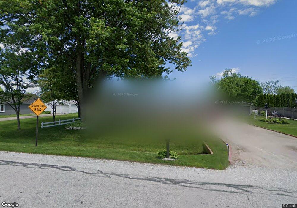
2508 Robbins Ct Port Huron, MI 48060
Estimated Value: $143,000 - $174,051
3
Beds
1
Bath
1,170
Sq Ft
$138/Sq Ft
Est. Value
About This Home
This home is located at 2508 Robbins Ct, Port Huron, MI 48060 and is currently estimated at $161,763, approximately $138 per square foot. 2508 Robbins Ct is a home located in St. Clair County with nearby schools including H.D. Crull Elementary School, Central Middle School, and Port Huron High School.
Ownership History
Date
Name
Owned For
Owner Type
Purchase Details
Closed on
Feb 2, 2016
Sold by
Dionne Richard M and Dionne Vicki L
Bought by
Dickinson Raymond and Dickinson Mary
Current Estimated Value
Purchase Details
Closed on
Jan 21, 2013
Sold by
Dionne Richard M and Dionne Vicki L
Bought by
Dickinson Raymond and Dickinson Mary
Purchase Details
Closed on
Jul 9, 2012
Sold by
Langole Alan E
Bought by
Dionne Richard M and Dionne Vicki L
Purchase Details
Closed on
May 7, 2009
Sold by
Shepherd Ronald W
Bought by
Shepherd Linda M
Create a Home Valuation Report for This Property
The Home Valuation Report is an in-depth analysis detailing your home's value as well as a comparison with similar homes in the area
Home Values in the Area
Average Home Value in this Area
Purchase History
| Date | Buyer | Sale Price | Title Company |
|---|---|---|---|
| Dickinson Raymond | -- | None Available | |
| Dickinson Raymond | -- | None Available | |
| Dionne Richard M | $58,000 | None Available | |
| Shepherd Linda M | -- | None Available |
Source: Public Records
Tax History Compared to Growth
Tax History
| Year | Tax Paid | Tax Assessment Tax Assessment Total Assessment is a certain percentage of the fair market value that is determined by local assessors to be the total taxable value of land and additions on the property. | Land | Improvement |
|---|---|---|---|---|
| 2025 | $1,599 | $68,700 | $0 | $0 |
| 2024 | $842 | $70,400 | $0 | $0 |
| 2023 | $777 | $65,300 | $0 | $0 |
| 2022 | $1,435 | $54,500 | $0 | $0 |
| 2021 | $1,314 | $50,600 | $0 | $0 |
| 2020 | $1,314 | $47,600 | $47,600 | $0 |
| 2019 | $1,289 | $40,300 | $0 | $0 |
| 2018 | $1,259 | $40,300 | $0 | $0 |
| 2017 | $1,231 | $39,700 | $0 | $0 |
| 2016 | $638 | $39,700 | $0 | $0 |
| 2015 | -- | $39,600 | $39,600 | $0 |
| 2014 | -- | $35,900 | $35,900 | $0 |
| 2013 | -- | $34,900 | $0 | $0 |
Source: Public Records
Map
Nearby Homes
- 3255 Harrington Rd
- 2566 Lewis Dr
- 2636 Locust St
- 0000 Henry St
- 2045 Yeager St
- 0000 Manuel St
- VACANT Howard St
- 00 Campau Ave
- 146 Taylor St
- 1825 Kern St
- 1819 Kern St
- 1713 Jenks St
- 1821 Pine St
- 1617 Francis St
- 1720 Gillett St
- V/L #4 Water St
- V/L #6 Water St
- V/L #5 Water St
- V/L #8 Water St
- V/L #3 Water St
- 2520 Robbins Ct
- 2500 Robbins Ct
- 3208 Harrington Rd
- 2519 Robbins Ct
- 2526 Robbins Ct
- 3260 Harrington Rd
- 3251 Harrington Rd
- 2527 Robbins Ct
- 2534 Robbins Ct
- 3247 Harrington Rd
- 2535 Robbins Ct
- 3256 Lapeer Rd
- 3300 Harrington Rd
- 2540 Robbins Ct
- 2537 Robbins Ct
- 3260 Lapeer Rd
- 2546 Robbins Ct
- 3310 Harrington Rd
- 3300 Lapeer Rd
- 2539 Robbins Ct