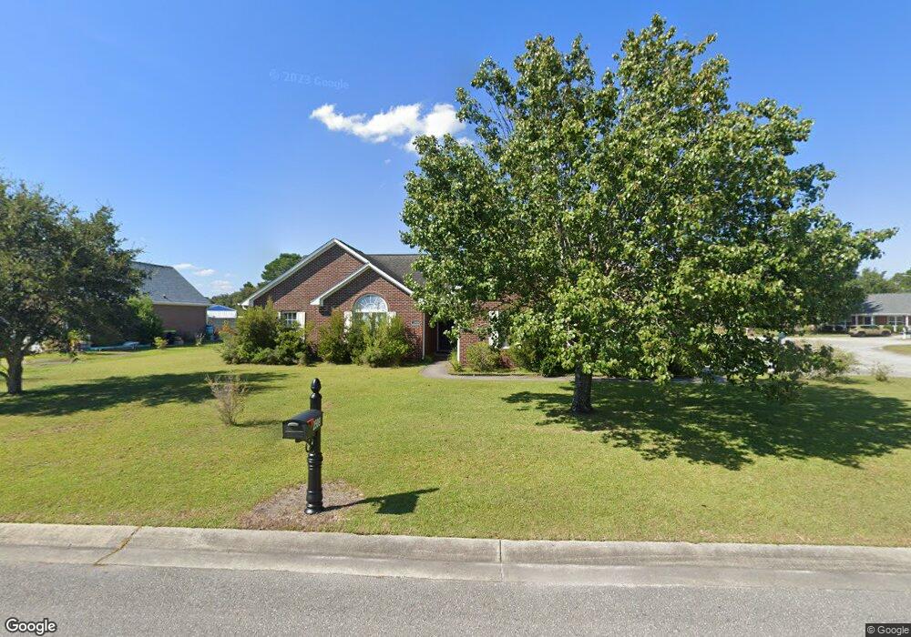
2509 Blockade Ct Wilmington, NC 28411
Estimated Value: $463,738 - $508,000
5
Beds
3
Baths
2,337
Sq Ft
$207/Sq Ft
Est. Value
About This Home
This home is located at 2509 Blockade Ct, Wilmington, NC 28411 and is currently estimated at $484,685, approximately $207 per square foot. 2509 Blockade Ct is a home located in New Hanover County with nearby schools including Murrayville Elementary School, Emma B. Trask Middle School, and Emsley A. Laney High School.
Ownership History
Date
Name
Owned For
Owner Type
Purchase Details
Closed on
Sep 5, 2013
Sold by
American Equity Funding Inc
Bought by
Burns Michael W
Current Estimated Value
Purchase Details
Closed on
Jul 16, 2008
Sold by
Burns Michael W and Burns Debra A
Bought by
Burns Michael W
Purchase Details
Closed on
Jun 24, 2003
Sold by
Southern Homebuilders Inc
Bought by
Burns Michael W Debra A
Purchase Details
Closed on
Apr 27, 1989
Sold by
Sanders Nathan S Judia B
Bought by
Coastal Carolina Developers
Create a Home Valuation Report for This Property
The Home Valuation Report is an in-depth analysis detailing your home's value as well as a comparison with similar homes in the area
Home Values in the Area
Average Home Value in this Area
Purchase History
| Date | Buyer | Sale Price | Title Company |
|---|---|---|---|
| Burns Michael W | $70,000 | None Available | |
| Burns Michael W | $42,000 | None Available | |
| Burns Michael W Debra A | $184,000 | -- | |
| Southern Homebuilders Inc | $32,500 | -- | |
| Coastal Carolina Developers | -- | -- |
Source: Public Records
Tax History Compared to Growth
Tax History
| Year | Tax Paid | Tax Assessment Tax Assessment Total Assessment is a certain percentage of the fair market value that is determined by local assessors to be the total taxable value of land and additions on the property. | Land | Improvement |
|---|---|---|---|---|
| 2025 | -- | $410,600 | $119,700 | $290,900 |
| 2023 | $1,527 | $279,300 | $64,200 | $215,100 |
| 2022 | $1,541 | $279,300 | $64,200 | $215,100 |
| 2021 | $1,541 | $279,300 | $64,200 | $215,100 |
| 2020 | $1,472 | $232,800 | $45,000 | $187,800 |
| 2019 | $1,472 | $232,800 | $45,000 | $187,800 |
| 2018 | $1,472 | $232,800 | $45,000 | $187,800 |
| 2017 | $1,507 | $232,800 | $45,000 | $187,800 |
| 2016 | $1,649 | $238,000 | $45,000 | $193,000 |
| 2015 | -- | $238,000 | $45,000 | $193,000 |
| 2014 | -- | $238,000 | $45,000 | $193,000 |
Source: Public Records
Map
Nearby Homes
- 1132 Potomac Ct
- 802 Calico Crossing
- 2522 White Rd
- 7319 Thurgood Rd
- 6723 Newbury Way
- 2431 White Rd
- 7213 Thurgood Rd
- 6918 Haberdeen Dr
- 800 Caspian Ct
- 2417 White Rd
- 7542 Quail Woods Rd
- 2409 White Rd
- 5824 Hyatt Ln
- 6707 Creek Ridge Rd
- 2805 Valor Dr Unit 207
- 5110 Sun Coast Dr
- 706 Bent Twig Ct
- 6404 Shire Ln
- 7012 Brittany Lakes Dr
- 6924 Aida Ct
- 2505 Blockade Ct
- 6704 Amity Way
- 6709 Amity Way
- 2504 Blockade Ct
- 2508 Blockade Ct
- 6705 Amity Way
- 1012 Sheffield Dr
- 6715 Amity Way
- 1014 Sheffield Dr
- 6700 Amity Way
- 2501 Blockade Ct
- 2500 Blockade Ct
- 1010 Sheffield Dr
- 6701 Amity Way
- 1016 Sheffield Dr
- 2605 Liberty Bell Ct
- 6723 Amity Way
- 2609 Liberty Bell Ct
- 1008 Sheffield Dr
- 1020 Sheffield Dr