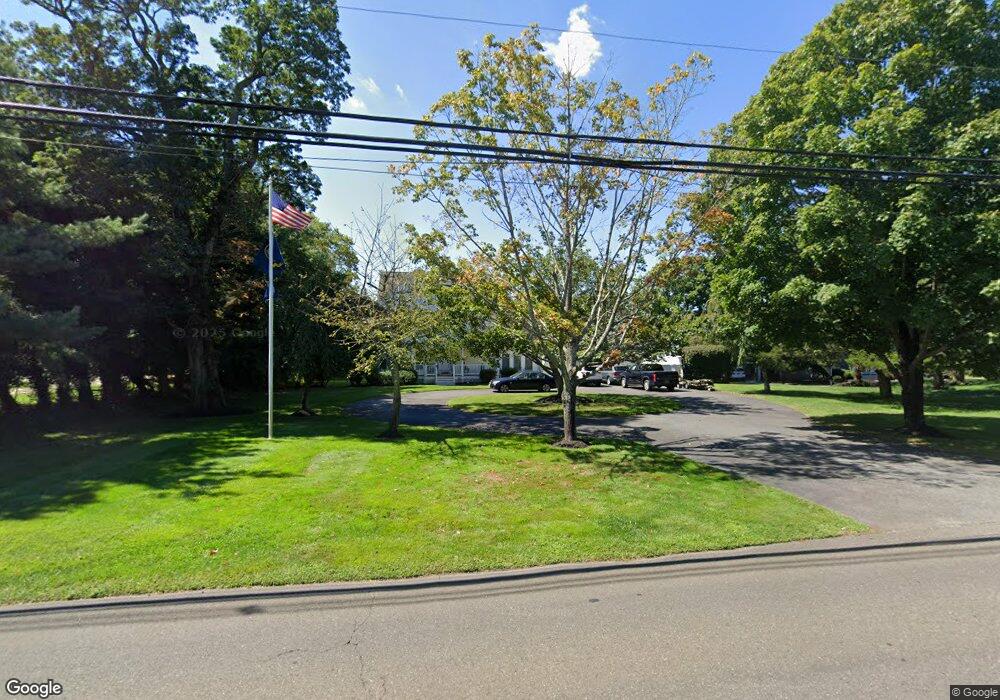
2509 Ramshorn Dr Manasquan, NJ 08736
Estimated Value: $1,435,000 - $1,777,000
5
Beds
3
Baths
4,060
Sq Ft
$390/Sq Ft
Est. Value
About This Home
This home is located at 2509 Ramshorn Dr, Manasquan, NJ 08736 and is currently estimated at $1,582,078, approximately $389 per square foot. 2509 Ramshorn Dr is a home located in Monmouth County with nearby schools including Wall High School and The Brookside School.
Ownership History
Date
Name
Owned For
Owner Type
Purchase Details
Closed on
Nov 5, 2004
Sold by
Mueller Paul
Bought by
Firth Harry and Firth Lori
Current Estimated Value
Home Financials for this Owner
Home Financials are based on the most recent Mortgage that was taken out on this home.
Original Mortgage
$604,000
Outstanding Balance
$299,405
Interest Rate
5.68%
Estimated Equity
$1,282,673
Purchase Details
Closed on
Jan 20, 1997
Sold by
Hale Partnership
Bought by
Mueller Paul and Mueller Joan
Create a Home Valuation Report for This Property
The Home Valuation Report is an in-depth analysis detailing your home's value as well as a comparison with similar homes in the area
Home Values in the Area
Average Home Value in this Area
Purchase History
| Date | Buyer | Sale Price | Title Company |
|---|---|---|---|
| Firth Harry | $755,000 | -- | |
| Mueller Paul | $125,000 | -- |
Source: Public Records
Mortgage History
| Date | Status | Borrower | Loan Amount |
|---|---|---|---|
| Open | Firth Harry | $604,000 |
Source: Public Records
Tax History Compared to Growth
Tax History
| Year | Tax Paid | Tax Assessment Tax Assessment Total Assessment is a certain percentage of the fair market value that is determined by local assessors to be the total taxable value of land and additions on the property. | Land | Improvement |
|---|---|---|---|---|
| 2025 | $16,281 | $771,600 | $400,000 | $371,600 |
| 2024 | $15,795 | $771,600 | $400,000 | $371,600 |
| 2023 | $15,795 | $771,600 | $400,000 | $371,600 |
| 2022 | $15,409 | $771,600 | $400,000 | $371,600 |
| 2021 | $15,409 | $771,600 | $400,000 | $371,600 |
| 2020 | $15,224 | $771,600 | $400,000 | $371,600 |
| 2019 | $15,038 | $771,600 | $400,000 | $371,600 |
| 2018 | $14,907 | $771,600 | $400,000 | $371,600 |
| 2017 | $14,614 | $771,600 | $400,000 | $371,600 |
| 2016 | $17,020 | $771,600 | $400,000 | $371,600 |
| 2015 | $14,089 | $477,600 | $157,200 | $320,400 |
| 2014 | $13,558 | $470,100 | $172,200 | $297,900 |
Source: Public Records
Map
Nearby Homes
- 1544 Harvest Ln
- 2528 River Rd
- 2531 River Rd
- 2511 Morningstar Rd
- 2420 Robin Way
- 2404 Riverside Terrace
- 1590 Holly Blvd
- 1551 Holly Blvd
- 2547 River Rd
- 2412 Greentree Dr
- 2578 Collier Rd
- 2568 Curriers Place
- 2575 Morningstar Rd
- 2567 River Rd
- 604 Winding River Rd
- 2619 Lantern Light Way
- 1307 W Union Ln Unit A4
- 1353 Tamarack Rd
- 2378 Orchard Crest Blvd
- 2338 Ramshorn Dr
- 2507 Ramshorn Dr
- 2511 Ramshorn Dr
- 2508 Ramshorn Dr
- 2513 Ramshorn Dr
- 2512 Ramshorn Dr
- 2514 Ramshorn Dr
- 2506 Ramshorn Dr
- 2521 Autumn Dr
- 1603 Lakewood Rd
- 1601 Lakewood Rd
- 2515 Ramshorn Dr
- 1535 Equestrian Ln
- 2504 Ramshorn Dr
- 2502 Ramshorn Dr
- 1607 Lakewood Rd
- 1607 Twin Lakes Dr
- 2517 Autumn Dr
- 2520 Autumn Dr
- 1617 Lakewood Rd
- 1609 Lakewood Rd