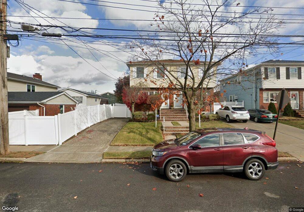
251 Abingdon Ave Staten Island, NY 10308
Great Kills NeighborhoodEstimated Value: $581,293 - $730,000
--
Bed
4
Baths
1,140
Sq Ft
$588/Sq Ft
Est. Value
About This Home
This home is located at 251 Abingdon Ave, Staten Island, NY 10308 and is currently estimated at $670,073, approximately $587 per square foot. 251 Abingdon Ave is a home located in Richmond County with nearby schools including P.S. 32 The Gifford School, Myra S. Barnes Intermediate School 24, and Susan E Wagner High School.
Ownership History
Date
Name
Owned For
Owner Type
Purchase Details
Closed on
Dec 3, 2015
Sold by
Santoro Nicholas F and Santoro Carol R
Bought by
Bloise Denis and Nicholas & Carol Santoro Trust
Current Estimated Value
Create a Home Valuation Report for This Property
The Home Valuation Report is an in-depth analysis detailing your home's value as well as a comparison with similar homes in the area
Home Values in the Area
Average Home Value in this Area
Purchase History
| Date | Buyer | Sale Price | Title Company |
|---|---|---|---|
| Bloise Denis | -- | Commonwealth Land Title Ins |
Source: Public Records
Tax History Compared to Growth
Tax History
| Year | Tax Paid | Tax Assessment Tax Assessment Total Assessment is a certain percentage of the fair market value that is determined by local assessors to be the total taxable value of land and additions on the property. | Land | Improvement |
|---|---|---|---|---|
| 2025 | $5,014 | $37,260 | $7,216 | $30,044 |
| 2024 | $2,230 | $35,640 | $7,118 | $28,522 |
| 2023 | $4,460 | $28,006 | $6,343 | $21,663 |
| 2022 | $4,098 | $34,620 | $8,820 | $25,800 |
| 2021 | $4,860 | $33,600 | $8,820 | $24,780 |
| 2020 | $4,718 | $31,260 | $8,820 | $22,440 |
| 2019 | $4,721 | $33,240 | $8,820 | $24,420 |
| 2018 | $4,460 | $23,338 | $8,016 | $15,322 |
| 2017 | $4,198 | $22,062 | $7,703 | $14,359 |
| 2016 | $4,101 | $22,062 | $7,473 | $14,589 |
| 2015 | $3,528 | $21,171 | $7,895 | $13,276 |
| 2014 | $3,528 | $19,975 | $7,539 | $12,436 |
Source: Public Records
Map
Nearby Homes
- 248 Abingdon Ave
- 223 Abingdon Ave
- 37 E Stroud Ave
- 234 Brookfield Ave
- 63 Genesee Ave
- 271 Doane Ave
- 339 Abingdon Ave
- 96 Genesee Ave
- 360 Barlow Ave Unit 32
- 360 Barlow Ave Unit 12
- 270 Leverett Ave
- 919 Armstrong Ave
- 151 Abingdon Ave
- 510 Leverett Ave
- 57 Middle Loop Rd
- 41 Middle Loop Rd
- 969 Armstrong Ave
- 200 Giffords Ln
- 147 Cortelyou Ave Unit 2-3
- 538 Leverett Ave
- 249 Abingdon Ave
- 247 Abingdon Ave
- 368 Leverett Ave
- 364 Leverett Ave
- 245 Abingdon Ave
- 186 Brookfield Ave
- 241 Abingdon Ave
- 184 Brookfield Ave
- 360 Leverett Ave
- 182 Brookfield Ave
- 0 Abingdon Ave
- 180 Brookfield Ave
- 237 Abingdon Ave
- 176 Brookfield Ave
- 252 Abingdon Ave
- 235 Abingdon Ave
- 244 Abingdon Ave
- 256 Abingdon Ave
- 172 Brookfield Ave
- 260 Abingdon Ave