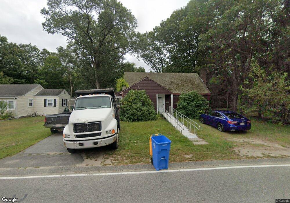
251 Allen St Randolph, MA 02368
Downtown Randolph NeighborhoodEstimated Value: $489,000 - $586,000
3
Beds
1
Bath
1,352
Sq Ft
$387/Sq Ft
Est. Value
About This Home
This home is located at 251 Allen St, Randolph, MA 02368 and is currently estimated at $523,471, approximately $387 per square foot. 251 Allen St is a home located in Norfolk County with nearby schools including Randolph High School, Boston Higashi School, and Lighthouse Baptist Christian Academy.
Ownership History
Date
Name
Owned For
Owner Type
Purchase Details
Closed on
Jul 7, 2010
Sold by
Robichaud Edward and Manning Michael
Bought by
Robichaud Edward
Current Estimated Value
Purchase Details
Closed on
May 13, 2010
Sold by
Meade James J and Petti Mark D
Bought by
Robichaud Edward and Manning Michael
Create a Home Valuation Report for This Property
The Home Valuation Report is an in-depth analysis detailing your home's value as well as a comparison with similar homes in the area
Home Values in the Area
Average Home Value in this Area
Purchase History
| Date | Buyer | Sale Price | Title Company |
|---|---|---|---|
| Robichaud Edward | $70,000 | -- | |
| Robichaud Edward | -- | -- |
Source: Public Records
Tax History Compared to Growth
Tax History
| Year | Tax Paid | Tax Assessment Tax Assessment Total Assessment is a certain percentage of the fair market value that is determined by local assessors to be the total taxable value of land and additions on the property. | Land | Improvement |
|---|---|---|---|---|
| 2025 | $4,951 | $426,400 | $229,200 | $197,200 |
| 2024 | $4,788 | $418,200 | $224,700 | $193,500 |
| 2023 | $4,606 | $381,300 | $204,300 | $177,000 |
| 2022 | $4,892 | $359,700 | $170,200 | $189,500 |
| 2021 | $4,573 | $309,400 | $141,900 | $167,500 |
| 2020 | $4,579 | $307,100 | $141,900 | $165,200 |
| 2019 | $4,352 | $290,500 | $135,100 | $155,400 |
| 2018 | $4,167 | $262,400 | $122,800 | $139,600 |
| 2017 | $4,115 | $254,300 | $116,900 | $137,400 |
| 2016 | $3,956 | $227,500 | $106,300 | $121,200 |
| 2015 | $3,770 | $208,300 | $101,200 | $107,100 |
Source: Public Records
Map
Nearby Homes
- 469 North St
- 73 Belcher St
- 44 Liberty St
- 33 Liberty St
- 38 Mcdevitt Rd
- 17 Mill St
- 12 Cottage St
- 54 Jasper Ln
- 18 Jasper Ln
- 20 Nelson Dr Unit 3A
- 661 North St
- 47 West St Unit A2
- 591 N Main St
- 7 Scannell Rd
- 10 Alfred Terrace
- 700 North St
- 1 Clark Cir
- 107 Meadow Ln Unit A7
- 34 Orchard St
- 20 Simmonds Blvd Unit 20
- 253 Allen St
- 245 Allen St
- 249 Liberty St
- 261 Liberty St
- 243 Allen St
- 245 Liberty St
- 240 Allen St
- 241 Allen St
- 380 North St
- 238 Allen St
- 374 North St
- 259 Allen St
- 258 Liberty St Unit 260
- 239 Allen St
- 235 Liberty St
- 250 Liberty St Unit 254
- 248 Liberty St
- 368 North St
- 262 Liberty St Unit 264
- 237 Allen St