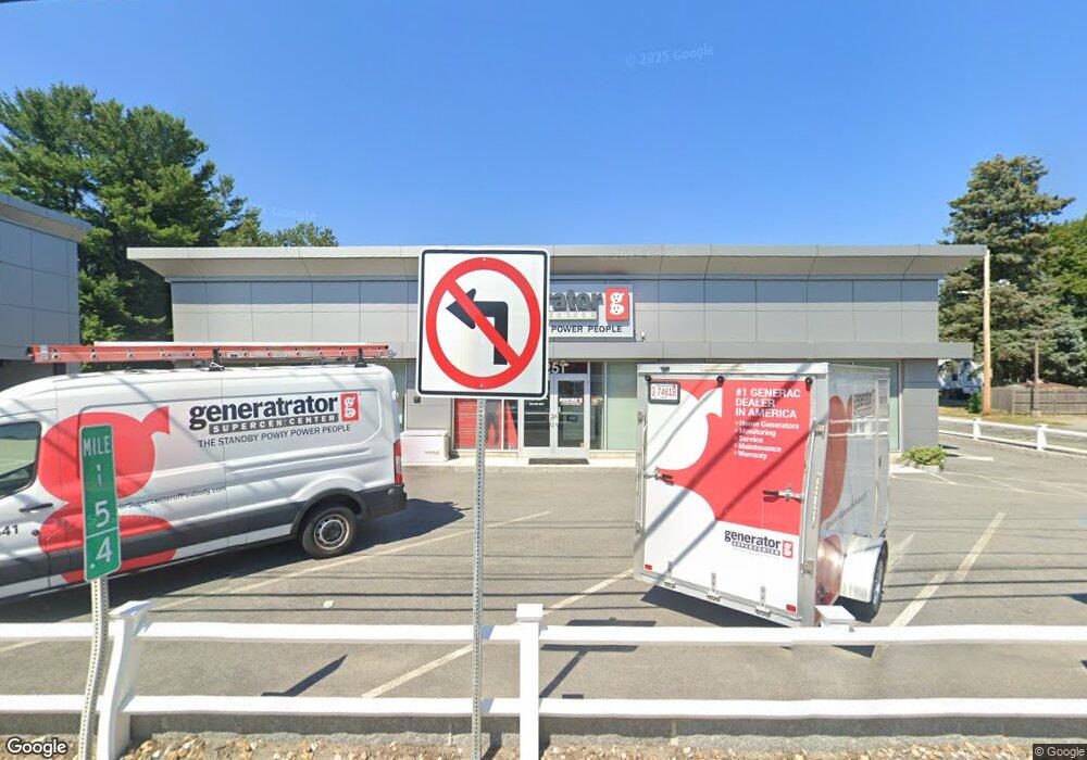
251 Andover St Peabody, MA 01960
Estimated Value: $814,000
--
Bed
2
Baths
2,716
Sq Ft
$300/Sq Ft
Est. Value
About This Home
This home is located at 251 Andover St, Peabody, MA 01960 and is currently priced at $814,000, approximately $299 per square foot. 251 Andover St is a home located in Essex County with nearby schools including Peabody Veterans Memorial High School and St. Mary of the Annunciation School.
Ownership History
Date
Name
Owned For
Owner Type
Purchase Details
Closed on
May 3, 2017
Sold by
251 Andover St Rt
Bought by
251 Andover Street Llc
Current Estimated Value
Purchase Details
Closed on
Nov 2, 2016
Sold by
Duong Jennie and Duong Khanh
Bought by
251 Andover Street Llc
Home Financials for this Owner
Home Financials are based on the most recent Mortgage that was taken out on this home.
Original Mortgage
$472,500
Interest Rate
3.48%
Mortgage Type
Commercial
Purchase Details
Closed on
Jun 27, 2007
Sold by
Dj Peabody Rt and Cote James M
Bought by
Duong Jennie
Home Financials for this Owner
Home Financials are based on the most recent Mortgage that was taken out on this home.
Original Mortgage
$499,950
Interest Rate
6.24%
Mortgage Type
Commercial
Purchase Details
Closed on
Jan 31, 2003
Sold by
251 Andover St Rt and Oconnor Charlotte A
Bought by
D J Peabody Rt
Create a Home Valuation Report for This Property
The Home Valuation Report is an in-depth analysis detailing your home's value as well as a comparison with similar homes in the area
Home Values in the Area
Average Home Value in this Area
Purchase History
| Date | Buyer | Sale Price | Title Company |
|---|---|---|---|
| 251 Andover Street Llc | -- | -- | |
| 251 Andover Street Llc | $780,000 | -- | |
| Duong Jennie | $675,000 | -- | |
| D J Peabody Rt | $440,000 | -- |
Source: Public Records
Mortgage History
| Date | Status | Borrower | Loan Amount |
|---|---|---|---|
| Previous Owner | 251 Andover Street Llc | $472,500 | |
| Previous Owner | D J Peabody Rt | $356,000 | |
| Previous Owner | D J Peabody Rt | $499,950 |
Source: Public Records
Tax History Compared to Growth
Tax History
| Year | Tax Paid | Tax Assessment Tax Assessment Total Assessment is a certain percentage of the fair market value that is determined by local assessors to be the total taxable value of land and additions on the property. | Land | Improvement |
|---|---|---|---|---|
| 2025 | $17,295 | $909,300 | $359,500 | $549,800 |
| 2024 | $17,122 | $909,300 | $359,500 | $549,800 |
| 2023 | $15,276 | $776,600 | $328,700 | $447,900 |
| 2022 | $16,417 | $776,600 | $328,700 | $447,900 |
| 2021 | $10,532 | $474,400 | $328,700 | $145,700 |
| 2020 | $12,084 | $527,900 | $328,700 | $199,200 |
| 2019 | $12,506 | $527,900 | $328,700 | $199,200 |
| 2018 | $12,728 | $527,900 | $328,700 | $199,200 |
| 2017 | $12,823 | $527,900 | $328,700 | $199,200 |
| 2016 | $12,770 | $527,900 | $328,700 | $199,200 |
| 2015 | $12,262 | $504,600 | $328,700 | $175,900 |
Source: Public Records
Map
Nearby Homes
- 0 Willowdale Ave Unit 73387007
- 2 Tomah Dr
- 152 Endicott St
- 22 Collins St Unit 31
- 20 Collins St Unit B
- 63 Adams St
- 37 Constitution Ln Unit 12
- 2 & 2R Prospect St
- 29 Reynolds Rd
- 108 Abington Rd Unit 108
- 112 Abington Rd
- 5 Hampshire St
- 9 Ledgewood Way Unit 6
- 14 1/2 Hampshire St
- 28 Sabino Farm Rd
- 20 Ash St Unit 3
- 20 Ash St Unit 1
- 8 Ledgewood Way Unit 17
- 4 Price Rd
- 37 Holten St Unit 2
- 253 Andover St
- 2 Gates St Unit B
- 2 Gates St Unit A
- 249 Andover St
- 255 Andover St Unit 201
- 255 Andover St Unit 202
- 255 Andover St Unit 1st floor
- 255 Andover St
- 255 Andover St Unit 2
- 3 Ralph Rd
- 1 Gates St
- 4 Gates St
- 3 Gates St
- 5 Ralph Rd
- 245 Andover St
- 257 Andover St
- 262 Andover St
- 6 Walter Rd
- 5 Gates St
- 8 Walter Rd