251 Beach Dr Oakland, MI 48363
Estimated Value: $412,000 - $489,449
4
Beds
3
Baths
2,715
Sq Ft
$163/Sq Ft
Est. Value
About This Home
This home is located at 251 Beach Dr, Oakland, MI 48363 and is currently estimated at $442,362, approximately $162 per square foot. 251 Beach Dr is a home located in Oakland County with nearby schools including Hamilton Parsons Elementary School.
Ownership History
Date
Name
Owned For
Owner Type
Purchase Details
Closed on
Feb 7, 2023
Sold by
Bargy Ronald A
Bought by
Bargy Ronald A
Current Estimated Value
Purchase Details
Closed on
Jun 22, 2021
Sold by
Cook Brandon Jon
Bought by
Bargy Ronald A
Home Financials for this Owner
Home Financials are based on the most recent Mortgage that was taken out on this home.
Original Mortgage
$312,000
Interest Rate
2.9%
Mortgage Type
New Conventional
Purchase Details
Closed on
Nov 13, 2020
Sold by
Smith Brian P and Smith Cynthia Randles
Bought by
Cook Brandon Jon
Home Financials for this Owner
Home Financials are based on the most recent Mortgage that was taken out on this home.
Original Mortgage
$341,100
Interest Rate
2.8%
Mortgage Type
New Conventional
Purchase Details
Closed on
Apr 20, 1999
Sold by
Smith Cynthia Randles
Bought by
Smith Brian P
Create a Home Valuation Report for This Property
The Home Valuation Report is an in-depth analysis detailing your home's value as well as a comparison with similar homes in the area
Home Values in the Area
Average Home Value in this Area
Purchase History
| Date | Buyer | Sale Price | Title Company |
|---|---|---|---|
| Bargy Ronald A | -- | -- | |
| Bargy Ronald A | $390,000 | Liberty Title | |
| Cook Brandon Jon | $379,000 | None Available | |
| Smith Brian P | -- | -- |
Source: Public Records
Mortgage History
| Date | Status | Borrower | Loan Amount |
|---|---|---|---|
| Previous Owner | Bargy Ronald A | $312,000 | |
| Previous Owner | Cook Brandon Jon | $341,100 |
Source: Public Records
Tax History Compared to Growth
Tax History
| Year | Tax Paid | Tax Assessment Tax Assessment Total Assessment is a certain percentage of the fair market value that is determined by local assessors to be the total taxable value of land and additions on the property. | Land | Improvement |
|---|---|---|---|---|
| 2024 | $6,841 | $180,360 | $0 | $0 |
| 2023 | $6,560 | $179,630 | $0 | $0 |
| 2022 | $7,459 | $163,020 | $0 | $0 |
| 2021 | $4,271 | $157,520 | $0 | $0 |
| 2020 | $1,684 | $155,500 | $0 | $0 |
| 2019 | $2,001 | $137,670 | $0 | $0 |
| 2018 | $1,958 | $132,700 | $0 | $0 |
| 2017 | $1,893 | $122,930 | $0 | $0 |
| 2016 | $1,906 | $116,840 | $0 | $0 |
| 2015 | -- | $113,000 | $0 | $0 |
| 2014 | -- | $89,530 | $0 | $0 |
| 2011 | -- | $67,210 | $0 | $0 |
Source: Public Records
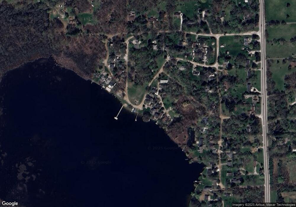
Map
Nearby Homes
- 400 E Romeo Rd
- 728 E Romeo Rd
- 270 N Rochester Rd
- 1111 Rush Rd
- 11.01 Acres Vacant L Knights Bridge
- 2.05 Acres VL - Knights Bridge
- 4.23 Acres VL - Knights Bridge
- 2.02 Acres VL - Knights Bridge
- 000 Knights Bridge
- The Washington Plan at Tamarack Heights
- The Jefferson Plan at Tamarack Heights
- The Dover Plan at Tamarack Heights
- The Harrison Plan at Tamarack Heights
- The Jefferson II Plan at Tamarack Heights
- The Everest Plan at Tamarack Heights
- The Rockford Plan at Tamarack Heights
- 931 Rochester Rd
- Lot 1 Rochawies Dr
- 5 Rochawies Dr
- 3377 W Predmore Rd
- 342 Tamarack Dr
- 243 Beach Dr Unit Bldg-Unit
- 243 Beach Dr
- 235 Beach Dr
- 348 Tamarack Dr
- 257 Beach Dr
- 225 Beach Dr
- 354 Tamarack Dr
- 339 Tamarack Dr
- 360 Tamarack Dr
- 319 Tamarack Dr
- 361 Tamarack Dr
- 372 Tamarack Dr
- 309 Tamarack Dr
- 288 Beach Dr
- 308 Beach Dr
- 296 Beach Dr
- 117 Beach Dr
- 190 Beach Dr
- 312 Beach Dr