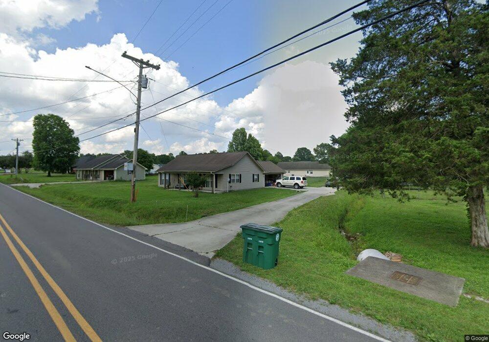
251 Beech Grove Rd Cullman, AL 35057
Estimated Value: $224,488 - $275,000
3
Beds
1
Bath
1,440
Sq Ft
$168/Sq Ft
Est. Value
About This Home
This home is located at 251 Beech Grove Rd, Cullman, AL 35057 and is currently estimated at $241,872, approximately $167 per square foot. 251 Beech Grove Rd is a home located in Cullman County with nearby schools including Good Hope Elementary School, Good Hope Middle School, and Good Hope High School.
Ownership History
Date
Name
Owned For
Owner Type
Purchase Details
Closed on
Jan 24, 2022
Sold by
Silva and Michelle
Bought by
Casey Andrew Scott and Rutherford Kelisha
Current Estimated Value
Home Financials for this Owner
Home Financials are based on the most recent Mortgage that was taken out on this home.
Original Mortgage
$178,703
Interest Rate
3.45%
Mortgage Type
FHA
Purchase Details
Closed on
Jan 12, 2022
Sold by
Silva Jeronimo and Silva Michelle
Bought by
Casey Andrew Scott and Rutherford Kelisha
Home Financials for this Owner
Home Financials are based on the most recent Mortgage that was taken out on this home.
Original Mortgage
$178,703
Interest Rate
3.45%
Mortgage Type
FHA
Purchase Details
Closed on
May 7, 2019
Sold by
Jeronimo Silva
Bought by
Cosgrove David W
Create a Home Valuation Report for This Property
The Home Valuation Report is an in-depth analysis detailing your home's value as well as a comparison with similar homes in the area
Home Values in the Area
Average Home Value in this Area
Purchase History
| Date | Buyer | Sale Price | Title Company |
|---|---|---|---|
| Casey Andrew Scott | $182,000 | Baggett & Wilson Llc | |
| Casey Andrew Scott | $182,000 | None Listed On Document | |
| Cosgrove David W | $334,000 | Law Firm Of Bland Harris & Mcc |
Source: Public Records
Mortgage History
| Date | Status | Borrower | Loan Amount |
|---|---|---|---|
| Closed | Cosgrove David W | $178,703 | |
| Closed | Casey Andrew Scott | $178,703 |
Source: Public Records
Tax History
| Year | Tax Paid | Tax Assessment Tax Assessment Total Assessment is a certain percentage of the fair market value that is determined by local assessors to be the total taxable value of land and additions on the property. | Land | Improvement |
|---|---|---|---|---|
| 2025 | $562 | $19,580 | $0 | $0 |
| 2024 | $522 | $18,300 | $0 | $0 |
| 2023 | $522 | $36,820 | $0 | $0 |
| 2022 | $1,008 | $32,500 | $0 | $0 |
| 2021 | $857 | $27,660 | $0 | $0 |
| 2020 | $831 | $26,820 | $0 | $0 |
| 2019 | $832 | $26,840 | $0 | $0 |
| 2018 | $310 | $11,460 | $0 | $0 |
| 2017 | $323 | $11,860 | $0 | $0 |
| 2016 | $735 | $23,720 | $0 | $0 |
| 2014 | $291 | $10,840 | $0 | $0 |
Source: Public Records
Map
Nearby Homes
- 21 N Short St
- 210 Mayfair Ln
- 329 Henry Dr
- 345 Henry Dr
- 600 Mayfair Ln
- 131 White Oak Loop
- 235 White Oak Loop
- 239 Doss Rd
- 66 Stricklin Rd
- 1091 Day Gap Rd
- Lot 71 S Montcrest Dr
- 0 Clarendon Rd Unit 526318
- LOT 68 S Montcrest
- 20 Clarendon Rd
- 1520 Day Gap Rd
- 329 Allred Rd
- 660 Teem Rd
- 361 Allred Rd
- 0 N Montcrest Unit 527077
- LOT 10 N Montcrest
Your Personal Tour Guide
Ask me questions while you tour the home.