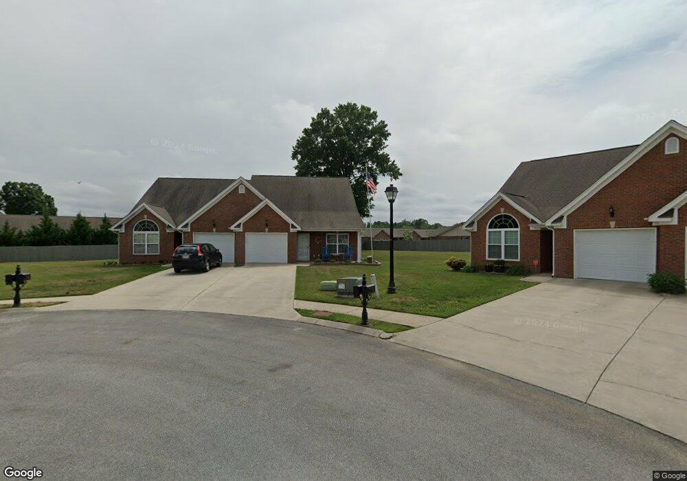
251 Briarstone Dr Rossville, GA 30741
Westside NeighborhoodEstimated Value: $252,443 - $293,000
--
Bed
2
Baths
1,344
Sq Ft
$201/Sq Ft
Est. Value
About This Home
This home is located at 251 Briarstone Dr, Rossville, GA 30741 and is currently estimated at $270,361, approximately $201 per square foot. 251 Briarstone Dr is a home located in Catoosa County with nearby schools including West Side Elementary School, Lakeview Middle School, and Lakeview-Fort Oglethorpe High School.
Ownership History
Date
Name
Owned For
Owner Type
Purchase Details
Closed on
Jun 22, 2018
Sold by
Eaton Harold E
Bought by
Jansen Lawrence S and Jansen Donna M
Current Estimated Value
Home Financials for this Owner
Home Financials are based on the most recent Mortgage that was taken out on this home.
Original Mortgage
$138,000
Outstanding Balance
$119,614
Interest Rate
4.6%
Mortgage Type
VA
Estimated Equity
$150,747
Purchase Details
Closed on
Dec 14, 2015
Sold by
Sandidge Deborah
Bought by
Eaton Mary A and Eaton Harold E
Home Financials for this Owner
Home Financials are based on the most recent Mortgage that was taken out on this home.
Original Mortgage
$111,925
Interest Rate
4.4%
Mortgage Type
FHA
Purchase Details
Closed on
Sep 14, 2011
Sold by
Sandidge Deborah
Bought by
The Regis M
Purchase Details
Closed on
Mar 14, 2008
Sold by
Not Provided
Bought by
Jay Regis M
Purchase Details
Closed on
Aug 23, 2001
Sold by
Erth Llc
Bought by
Erth Llc
Create a Home Valuation Report for This Property
The Home Valuation Report is an in-depth analysis detailing your home's value as well as a comparison with similar homes in the area
Home Values in the Area
Average Home Value in this Area
Purchase History
| Date | Buyer | Sale Price | Title Company |
|---|---|---|---|
| Jansen Lawrence S | $138,000 | -- | |
| Eaton Mary A | $130,000 | -- | |
| The Regis M | -- | -- | |
| Jay Regis M | $138,000 | -- | |
| Erth Llc | -- | -- |
Source: Public Records
Mortgage History
| Date | Status | Borrower | Loan Amount |
|---|---|---|---|
| Open | Jansen Lawrence S | $138,000 | |
| Previous Owner | Eaton Mary A | $111,925 |
Source: Public Records
Tax History Compared to Growth
Tax History
| Year | Tax Paid | Tax Assessment Tax Assessment Total Assessment is a certain percentage of the fair market value that is determined by local assessors to be the total taxable value of land and additions on the property. | Land | Improvement |
|---|---|---|---|---|
| 2024 | -- | $103,430 | $10,000 | $93,430 |
| 2023 | $1,564 | $79,219 | $10,000 | $69,219 |
| 2022 | $1,181 | $62,147 | $10,000 | $52,147 |
| 2021 | $1,228 | $62,147 | $10,000 | $52,147 |
| 2020 | $1,512 | $51,220 | $6,000 | $45,220 |
| 2019 | $1,117 | $51,220 | $6,000 | $45,220 |
| 2018 | $1,605 | $51,220 | $6,000 | $45,220 |
| 2017 | $1,561 | $49,805 | $6,000 | $43,805 |
Source: Public Records
Map
Nearby Homes
- 288 Briarstone Dr
- 1703 Applebrook Dr
- 211 Idle Place Cir
- 57 Country Cove Dr
- 2204 Applebrook Dr
- 44 Sunset Cove Dr
- 97 Morning Mist Dr
- 164 Idle Place Cir
- 146 Idle Place Cir
- 283 Idle Place Cir
- 372 Idle Place Cir
- 89 Idle Place Cir
- 81 Idle Place Cir
- 85 Daybreak Dr
- 83 Daybreak Dr
- 378 Idle Place Cir
- 14 Sunset Cove Dr
- 792 S MacK Smith Rd
- 89 Anchor Dr
- Sullivan Plan at Evergreen Landing
- 249 Briarstone Dr
- 255 Briarstone Dr
- 259 Briarstone Dr
- 245 Briarstone Dr
- 1004 Applebrook Dr
- 49 Rawlings Ln Unit 79 Rawlings Ln Ross
- 49 Rawlings Ln Unit 49 Rawlings
- 296 Briarstone Dr
- 803 Applebrook Dr
- 1003 Applebrook Dr
- 215 Briarstone Dr
- 604 Applebrook Dr
- 1002 Applebrook Dr
- 603 Applebrook Dr
- 1204 Applebrook Dr
- 79 Rawlings Ln Unit 79 Rawlings Ln
- 207 Briarstone Dr
- 278 Briarstone Dr
- 801 Applebrook Dr
- 1203 Applebrook Dr