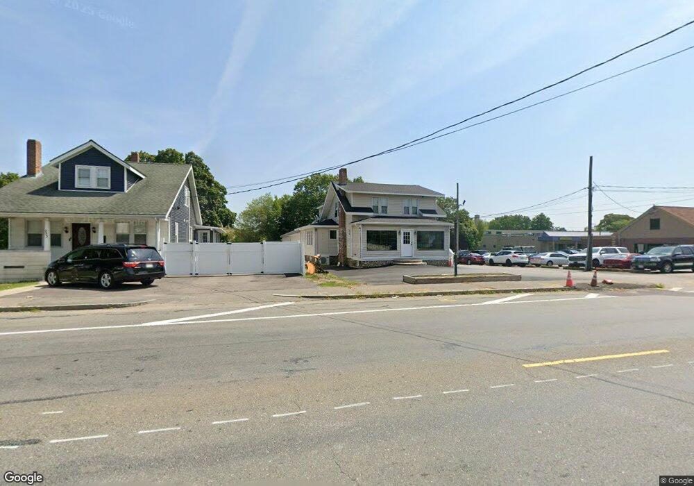
251 Broadway Taunton, MA 02780
Prospect Hill NeighborhoodEstimated Value: $266,635
--
Bed
--
Bath
3,370
Sq Ft
$79/Sq Ft
Est. Value
About This Home
This home is located at 251 Broadway, Taunton, MA 02780 and is currently priced at $266,635, approximately $79 per square foot. 251 Broadway is a home located in Bristol County with nearby schools including Benjamin Friedman Middle School, Taunton High School, and Our Lady of Lourdes School.
Ownership History
Date
Name
Owned For
Owner Type
Purchase Details
Closed on
May 28, 1993
Sold by
Norroway Pond Dev Corp
Bought by
Corrao Paul
Current Estimated Value
Home Financials for this Owner
Home Financials are based on the most recent Mortgage that was taken out on this home.
Original Mortgage
$58,500
Interest Rate
7.41%
Mortgage Type
Commercial
Purchase Details
Closed on
Nov 16, 1992
Sold by
Owens Harold F
Bought by
Norroway Pond Develop
Purchase Details
Closed on
Jan 29, 1988
Sold by
Medeiros Gepo D
Bought by
Owens Harold F
Home Financials for this Owner
Home Financials are based on the most recent Mortgage that was taken out on this home.
Original Mortgage
$148,000
Interest Rate
10.65%
Mortgage Type
Commercial
Create a Home Valuation Report for This Property
The Home Valuation Report is an in-depth analysis detailing your home's value as well as a comparison with similar homes in the area
Home Values in the Area
Average Home Value in this Area
Purchase History
| Date | Buyer | Sale Price | Title Company |
|---|---|---|---|
| Corrao Paul | $65,000 | -- | |
| Corrao Paul | $65,000 | -- | |
| Norroway Pond Develop | $87,500 | -- | |
| Norroway Pond Develop | $87,500 | -- | |
| Owens Harold F | $185,000 | -- |
Source: Public Records
Mortgage History
| Date | Status | Borrower | Loan Amount |
|---|---|---|---|
| Closed | Owens Harold F | $58,500 | |
| Previous Owner | Owens Harold F | $148,000 | |
| Previous Owner | Owens Harold F | $65,000 |
Source: Public Records
Tax History Compared to Growth
Tax History
| Year | Tax Paid | Tax Assessment Tax Assessment Total Assessment is a certain percentage of the fair market value that is determined by local assessors to be the total taxable value of land and additions on the property. | Land | Improvement |
|---|---|---|---|---|
| 2025 | -- | $542,900 | $323,200 | $219,700 |
| 2024 | -- | $609,300 | $347,900 | $261,400 |
| 2023 | $0 | $314,600 | $133,300 | $181,300 |
| 2022 | $0 | $270,600 | $111,300 | $159,300 |
| 2021 | $0 | $260,600 | $101,300 | $159,300 |
| 2020 | $0 | $237,500 | $101,300 | $136,200 |
| 2019 | $0 | $229,400 | $106,300 | $123,100 |
| 2018 | $0 | $227,600 | $107,300 | $120,300 |
| 2017 | $0 | $221,500 | $102,200 | $119,300 |
| 2016 | -- | $218,500 | $99,200 | $119,300 |
| 2015 | $4,380 | $207,300 | $99,200 | $108,100 |
| 2014 | $4,380 | $207,300 | $99,200 | $108,100 |
Source: Public Records
Map
Nearby Homes