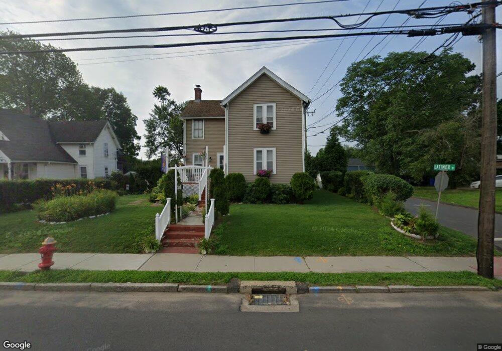
251 Burnside Ave East Hartford, CT 06108
Estimated Value: $272,522 - $316,000
4
Beds
2
Baths
1,558
Sq Ft
$192/Sq Ft
Est. Value
About This Home
This home is located at 251 Burnside Ave, East Hartford, CT 06108 and is currently estimated at $299,881, approximately $192 per square foot. 251 Burnside Ave is a home located in Hartford County with nearby schools including Dr. John A. Langford School, East Hartford Middle School, and East Hartford High School.
Ownership History
Date
Name
Owned For
Owner Type
Purchase Details
Closed on
May 2, 2006
Sold by
Farmer Noreen P and Farmer Steven L
Bought by
Diaz Jose L and Diaz Olga A
Current Estimated Value
Home Financials for this Owner
Home Financials are based on the most recent Mortgage that was taken out on this home.
Original Mortgage
$138,128
Outstanding Balance
$86,009
Interest Rate
7.75%
Estimated Equity
$213,872
Purchase Details
Closed on
Mar 1, 1993
Sold by
Farmer Steven L and Farmer Noreen P
Bought by
Foley Sean T
Home Financials for this Owner
Home Financials are based on the most recent Mortgage that was taken out on this home.
Original Mortgage
$60,000
Interest Rate
8.03%
Create a Home Valuation Report for This Property
The Home Valuation Report is an in-depth analysis detailing your home's value as well as a comparison with similar homes in the area
Home Values in the Area
Average Home Value in this Area
Purchase History
| Date | Buyer | Sale Price | Title Company |
|---|---|---|---|
| Diaz Jose L | $172,660 | -- | |
| Foley Sean T | $80,000 | -- |
Source: Public Records
Mortgage History
| Date | Status | Borrower | Loan Amount |
|---|---|---|---|
| Open | Foley Sean T | $138,128 | |
| Closed | Foley Sean T | $34,536 | |
| Previous Owner | Foley Sean T | $60,000 |
Source: Public Records
Tax History Compared to Growth
Tax History
| Year | Tax Paid | Tax Assessment Tax Assessment Total Assessment is a certain percentage of the fair market value that is determined by local assessors to be the total taxable value of land and additions on the property. | Land | Improvement |
|---|---|---|---|---|
| 2025 | $5,835 | $127,130 | $37,070 | $90,060 |
| 2024 | $5,594 | $127,130 | $37,070 | $90,060 |
| 2023 | $5,408 | $127,130 | $37,070 | $90,060 |
| 2022 | $5,202 | $126,880 | $37,070 | $89,810 |
| 2021 | $4,474 | $90,650 | $28,080 | $62,570 |
| 2020 | $4,525 | $90,650 | $28,080 | $62,570 |
| 2019 | $4,452 | $90,650 | $28,080 | $62,570 |
| 2018 | $4,320 | $90,650 | $28,080 | $62,570 |
| 2017 | $4,265 | $90,650 | $28,080 | $62,570 |
| 2016 | $4,157 | $90,650 | $28,080 | $62,570 |
| 2015 | $4,157 | $90,650 | $28,080 | $62,570 |
| 2014 | $4,116 | $90,650 | $28,080 | $62,570 |
Source: Public Records
Map
Nearby Homes
- 265 Burnside Ave
- 10 Kenyon Place
- 30 Oakwood St
- 181 Burnside Ave
- 85R Olmsted St
- 98 Olmsted St
- 453 Burnside Ave
- 51 Daniel St
- 506 Burnside Ave
- 509 Burnside Ave Unit A18
- 52 Burnside Ave
- 67 Laurel St
- 1589 Main St
- 47 Elm St
- 15 Michael Ave
- 41 Bissell St
- 421 Tolland St
- 421 Tolland St Unit 209
- 89 Henderson Dr
- 22 Matthew Rd
- 254 Burnside Ave
- 247 Burnside Ave
- 236 Burnside Ave
- 261 Burnside Ave
- 244 Burnside Ave
- 255 Burnside Ave
- 262 Burnside Ave
- 269 Burnside Ave
- 232 Burnside Ave Unit 234
- 224 Burnside Ave Unit 226
- 9 Signor St Unit 5
- 9 Signor St Unit 12
- 16 Latimer St
- 228 Burnside Ave
- 237 Burnside Ave Unit 239
- 10 Latimer St
- 23 Latimer St
- 11 Latimer St
- 18 Signor St
- 11 Ann St