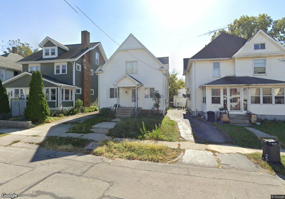
251 Chestnut St Marion, OH 43302
Estimated Value: $68,212 - $145,000
3
Beds
2
Baths
1,144
Sq Ft
$84/Sq Ft
Est. Value
About This Home
This home is located at 251 Chestnut St, Marion, OH 43302 and is currently estimated at $96,553, approximately $84 per square foot. 251 Chestnut St is a home located in Marion County with nearby schools including James A. Garfield Elementary School, Ulysses S. Grant Middle School, and Harding High School.
Ownership History
Date
Name
Owned For
Owner Type
Purchase Details
Closed on
Mar 24, 2025
Sold by
Neutzling Norbert P H and Neutzling Norbert Patrick
Bought by
Nj Latte Llc
Current Estimated Value
Purchase Details
Closed on
Nov 5, 2015
Sold by
Fortney Patricia A and Fortney Terry E
Bought by
Neutzling Norbert Patrick
Purchase Details
Closed on
Feb 13, 1998
Bought by
Neutzling Norbert P
Create a Home Valuation Report for This Property
The Home Valuation Report is an in-depth analysis detailing your home's value as well as a comparison with similar homes in the area
Home Values in the Area
Average Home Value in this Area
Purchase History
| Date | Buyer | Sale Price | Title Company |
|---|---|---|---|
| Nj Latte Llc | $30,000 | None Listed On Document | |
| Nj Latte Llc | $30,000 | None Listed On Document | |
| Neutzling Norbert Patrick | $25,000 | Attorney | |
| Neutzling Norbert P | -- | -- |
Source: Public Records
Tax History Compared to Growth
Tax History
| Year | Tax Paid | Tax Assessment Tax Assessment Total Assessment is a certain percentage of the fair market value that is determined by local assessors to be the total taxable value of land and additions on the property. | Land | Improvement |
|---|---|---|---|---|
| 2024 | $653 | $16,990 | $950 | $16,040 |
| 2023 | $653 | $16,990 | $950 | $16,040 |
| 2022 | $985 | $16,990 | $950 | $16,040 |
| 2021 | $527 | $13,290 | $820 | $12,470 |
| 2020 | $528 | $13,290 | $820 | $12,470 |
| 2019 | $514 | $13,290 | $820 | $12,470 |
| 2018 | $509 | $13,180 | $800 | $12,380 |
| 2017 | $516 | $13,180 | $800 | $12,380 |
| 2016 | $512 | $13,180 | $800 | $12,380 |
| 2015 | $535 | $13,100 | $760 | $12,340 |
| 2014 | $656 | $13,100 | $760 | $12,340 |
| 2012 | $634 | $15,410 | $810 | $14,600 |
Source: Public Records
Map
Nearby Homes
- 347 Mary St
- 343 Commercial St
- 233 Tully St
- 395 N Main St
- 178 Leader St
- 325 Holmes Place
- 434 N State St
- 551 Universal Ave Unit 555
- 552 N Prospect St
- 455 Park St
- 374 Nunin Ct
- 636 Mary St
- 593 N State St
- 229 W Columbia St
- 468 Avondale Ave
- 314 Windsor St
- 458 Ballentine Ave
- 302 Blaine Ave
- 485 Avondale Ave
- 429 W Columbia St
- 245 Chestnut St
- 255 Chestnut St
- 261 Chestnut St
- 241 Chestnut St
- 269 Chestnut St
- 237 Chestnut St
- 250-252 250 Chestnut
- 227 Chestnut St
- 236 Chestnut St
- 248 Chestnut St
- 250 Chestnut St
- 242 Chestnut St
- 275 Chestnut & 275 1/2 St
- 258 Chestnut St
- 230 Chestnut St
- 264 Chestnut St
- 265 Oak St
- 270 Chestnut St
- 251 Oak St
- 257 Oak St