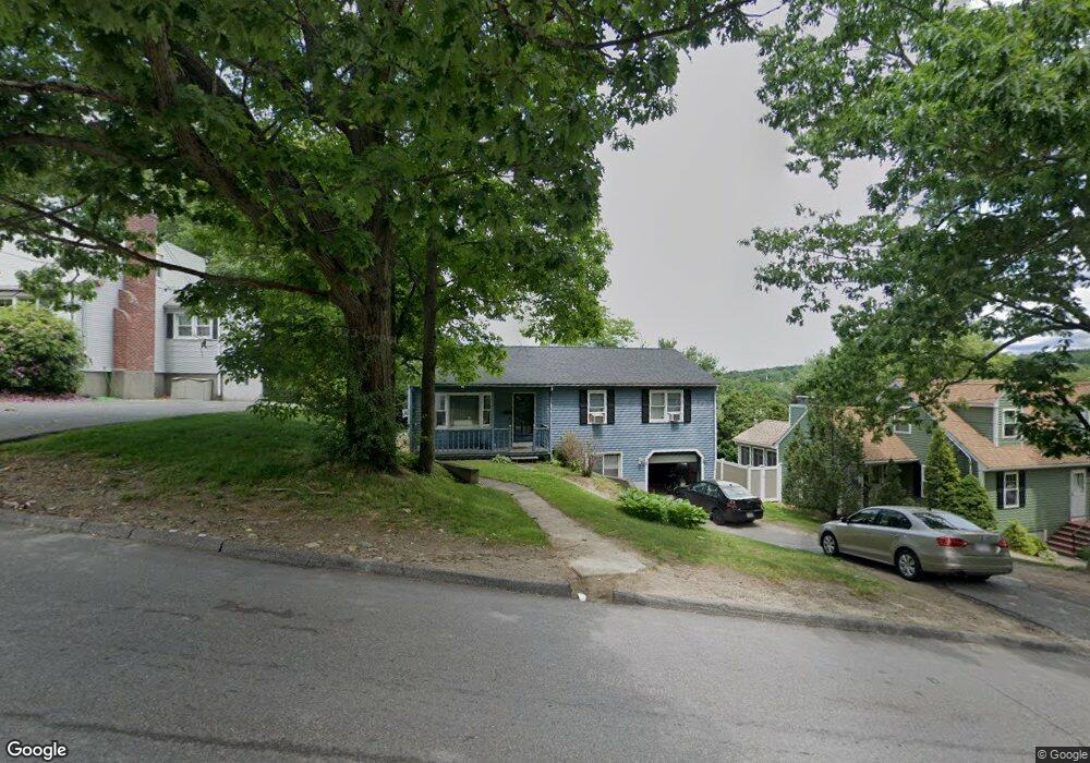
251 Clark St Worcester, MA 01606
Burncoat NeighborhoodEstimated Value: $391,000 - $466,923
4
Beds
2
Baths
1,288
Sq Ft
$334/Sq Ft
Est. Value
About This Home
This home is located at 251 Clark St, Worcester, MA 01606 and is currently estimated at $429,981, approximately $333 per square foot. 251 Clark St is a home located in Worcester County with nearby schools including Belmont Street Community School, Jacob Hiatt Magnet School, and Chandler Magnet.
Ownership History
Date
Name
Owned For
Owner Type
Purchase Details
Closed on
Dec 17, 1999
Sold by
Department Of Housing & Urban Dev
Bought by
Harrington Thomas P and Harrington Nadine L
Current Estimated Value
Home Financials for this Owner
Home Financials are based on the most recent Mortgage that was taken out on this home.
Original Mortgage
$104,760
Outstanding Balance
$32,671
Interest Rate
7.81%
Mortgage Type
Purchase Money Mortgage
Estimated Equity
$397,310
Purchase Details
Closed on
Jun 4, 1999
Sold by
Mcgrath David R
Bought by
Emc Mtg Corp
Purchase Details
Closed on
Jun 28, 1996
Sold by
Lynch Joanne M and Lynch Brian
Bought by
Mcgrath David R and Mcgrath Edythe
Home Financials for this Owner
Home Financials are based on the most recent Mortgage that was taken out on this home.
Original Mortgage
$112,781
Interest Rate
8.05%
Mortgage Type
Purchase Money Mortgage
Create a Home Valuation Report for This Property
The Home Valuation Report is an in-depth analysis detailing your home's value as well as a comparison with similar homes in the area
Home Values in the Area
Average Home Value in this Area
Purchase History
| Date | Buyer | Sale Price | Title Company |
|---|---|---|---|
| Harrington Thomas P | $108,000 | -- | |
| Emc Mtg Corp | $138,527 | -- | |
| Mcgrath David R | $115,600 | -- |
Source: Public Records
Mortgage History
| Date | Status | Borrower | Loan Amount |
|---|---|---|---|
| Open | Mcgrath David R | $104,760 | |
| Previous Owner | Mcgrath David R | $112,781 |
Source: Public Records
Tax History
| Year | Tax Paid | Tax Assessment Tax Assessment Total Assessment is a certain percentage of the fair market value that is determined by local assessors to be the total taxable value of land and additions on the property. | Land | Improvement |
|---|---|---|---|---|
| 2025 | $5,144 | $390,000 | $117,600 | $272,400 |
| 2024 | $5,027 | $365,600 | $117,600 | $248,000 |
| 2023 | $4,867 | $339,400 | $102,300 | $237,100 |
| 2022 | $4,391 | $288,700 | $81,800 | $206,900 |
| 2021 | $4,304 | $264,400 | $65,400 | $199,000 |
| 2020 | $4,121 | $242,400 | $65,400 | $177,000 |
| 2019 | $3,866 | $214,800 | $58,800 | $156,000 |
| 2018 | $3,737 | $197,600 | $58,800 | $138,800 |
| 2017 | $3,798 | $197,600 | $58,800 | $138,800 |
| 2016 | $3,724 | $180,700 | $42,800 | $137,900 |
| 2015 | $3,627 | $180,700 | $42,800 | $137,900 |
| 2014 | $3,531 | $180,700 | $42,800 | $137,900 |
Source: Public Records
Map
Nearby Homes
- 13 Fatima Ln
- 58 Osceola Ave
- 66 Eunice Ave
- 331 Burncoat St
- 323 Burncoat St
- 3205 Halcyon Dr Unit 3205
- 12 Erie Ave
- 39 Bullard Ave
- 169 Whitmarsh Ave
- 22 Huron Ave
- 53 Collins St
- 30 Danielles Way
- 45 Goldthwaite Rd
- 39 Whitmarsh Ave
- 15 Ericsson St
- 69 Santoro Rd
- 655 Plantation St Unit 20B
- 71 Hillside Village Dr
- 2 Poe Ave Unit 1
- 4 Poe Ave Unit 1
- 253 Clark St
- 249 Clark St
- 3 Fatima Ln
- 5 Fatima Ln
- 255 Clark St
- 245 Clark St
- 7 Fatima Ln Unit 5
- 7 Fatima Ln
- 6 Gothic Ave
- 9 Fatima Ln Unit 7
- 8 Gothic Ave
- 257 Clark St
- 6 Fatima Ln Unit 4
- 4 Fatima Ln Unit 2
- 11 Fatima Ln Unit 9
- 10 Gothic Ave
- 8 Fatima Ln Unit 6
- 211 Clark St
- 259 Clark St
- 7 Naumaan Ln Unit 17
Your Personal Tour Guide
Ask me questions while you tour the home.