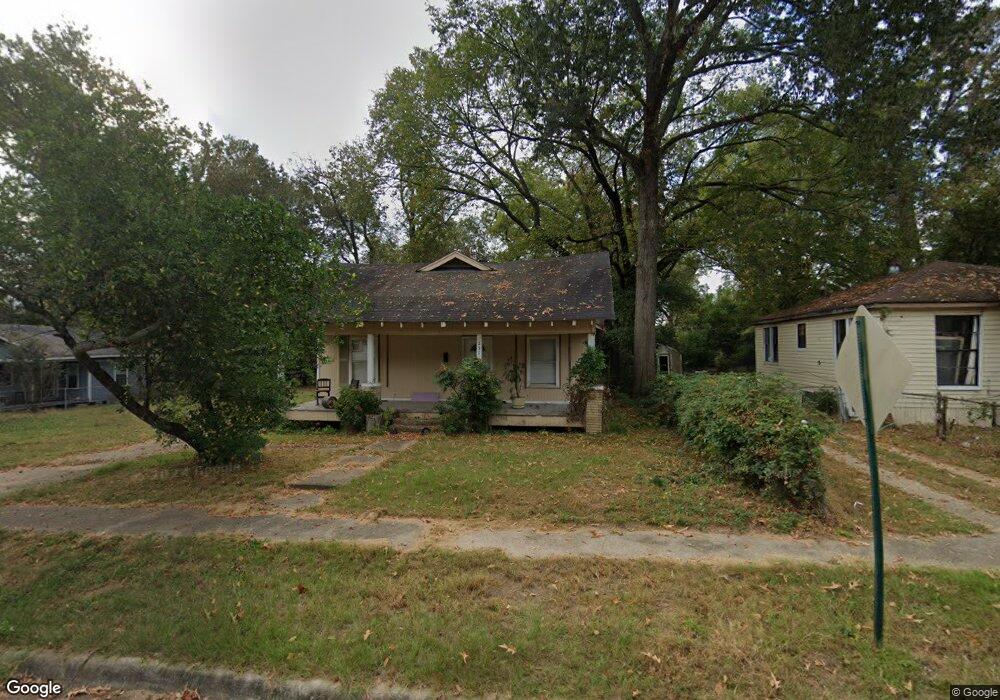
251 E 68th St Shreveport, LA 71106
Cedar Grove/Lynbrook NeighborhoodEstimated Value: $28,000 - $66,000
2
Beds
1
Bath
1,469
Sq Ft
$36/Sq Ft
Est. Value
About This Home
This home is located at 251 E 68th St, Shreveport, LA 71106 and is currently estimated at $53,600, approximately $36 per square foot. 251 E 68th St is a home with nearby schools including Fairfield Magnet School, Atkins Technology Elementary School, and Judson Fundamental Elementary School.
Ownership History
Date
Name
Owned For
Owner Type
Purchase Details
Closed on
Jun 20, 2014
Sold by
A & T Capital Llc
Bought by
Nebraska Alliance Realty Co
Current Estimated Value
Purchase Details
Closed on
Jun 13, 2014
Sold by
A & T Capital Llc 97
Bought by
Nebraska Alliance Realty Co
Purchase Details
Closed on
Jun 21, 2013
Sold by
I Harris Properties Llc
Bought by
A & T Capital Llc
Purchase Details
Closed on
Jun 14, 2013
Sold by
I & Harris Properties L L C
Bought by
A & T Capital L L C
Create a Home Valuation Report for This Property
The Home Valuation Report is an in-depth analysis detailing your home's value as well as a comparison with similar homes in the area
Home Values in the Area
Average Home Value in this Area
Purchase History
| Date | Buyer | Sale Price | Title Company |
|---|---|---|---|
| Nebraska Alliance Realty Co | $873 | None Available | |
| Nebraska Alliance Realty Co | $380 | None Available | |
| A & T Capital Llc | $365 | None Available | |
| A & T Capital L L C | $857 | None Available |
Source: Public Records
Tax History Compared to Growth
Tax History
| Year | Tax Paid | Tax Assessment Tax Assessment Total Assessment is a certain percentage of the fair market value that is determined by local assessors to be the total taxable value of land and additions on the property. | Land | Improvement |
|---|---|---|---|---|
| 2024 | $695 | $4,459 | $415 | $4,044 |
| 2023 | $708 | $4,439 | $395 | $4,044 |
| 2022 | $708 | $4,439 | $395 | $4,044 |
| 2021 | $697 | $4,439 | $395 | $4,044 |
| 2020 | $697 | $4,439 | $395 | $4,044 |
| 2019 | $728 | $4,502 | $395 | $4,107 |
| 2018 | $580 | $4,502 | $395 | $4,107 |
| 2017 | $740 | $4,502 | $395 | $4,107 |
| 2015 | $606 | $4,680 | $400 | $4,280 |
| 2014 | $611 | $4,680 | $400 | $4,280 |
| 2013 | -- | $4,680 | $400 | $4,280 |
Source: Public Records
Map
Nearby Homes
- 250 E 68th St
- 361 E 70th St
- 247 E 72nd St
- 7205 Southern Ave
- 6204 Henderson Ave
- 6100 Lexington Ave
- 531 E 73rd St
- 307 W 69th St
- 636 E 70th St
- 6020 Henderson Ave
- 567 E 73rd St
- 6835 Bethany St
- 913 Bethany St
- 5923 Henderson Ave
- 6446 Birnamwood Rd
- 5960 Thornhill Ave
- 0 Birnamwood Rd
- 446 W 69th St
- 0 Gilbert Place Unit 2 20583892
- 343 Pilatus Dr