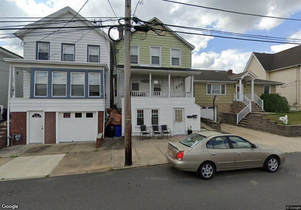
251 George St South Amboy, NJ 08879
Estimated Value: $422,660 - $457,000
--
Bed
--
Bath
1,140
Sq Ft
$380/Sq Ft
Est. Value
About This Home
This home is located at 251 George St, South Amboy, NJ 08879 and is currently estimated at $433,165, approximately $379 per square foot. 251 George St is a home located in Middlesex County with nearby schools including South Amboy Elementary School, South Amboy Middle/High School, and St. Mary Elementary School.
Ownership History
Date
Name
Owned For
Owner Type
Purchase Details
Closed on
Sep 16, 2015
Sold by
Karoly Diane
Bought by
Gorczynski Edward
Current Estimated Value
Purchase Details
Closed on
Aug 6, 1996
Sold by
Nilsen Douglas
Bought by
Karoly John
Home Financials for this Owner
Home Financials are based on the most recent Mortgage that was taken out on this home.
Original Mortgage
$45,000
Interest Rate
8.24%
Create a Home Valuation Report for This Property
The Home Valuation Report is an in-depth analysis detailing your home's value as well as a comparison with similar homes in the area
Home Values in the Area
Average Home Value in this Area
Purchase History
| Date | Buyer | Sale Price | Title Company |
|---|---|---|---|
| Gorczynski Edward | $900,000 | None Available | |
| Karoly John | $60,000 | -- |
Source: Public Records
Mortgage History
| Date | Status | Borrower | Loan Amount |
|---|---|---|---|
| Previous Owner | Karoly John | $45,000 |
Source: Public Records
Tax History Compared to Growth
Tax History
| Year | Tax Paid | Tax Assessment Tax Assessment Total Assessment is a certain percentage of the fair market value that is determined by local assessors to be the total taxable value of land and additions on the property. | Land | Improvement |
|---|---|---|---|---|
| 2025 | $7,448 | $232,100 | $112,500 | $119,600 |
| 2024 | $7,167 | $232,100 | $112,500 | $119,600 |
| 2023 | $7,167 | $232,100 | $112,500 | $119,600 |
| 2022 | $6,810 | $232,100 | $112,500 | $119,600 |
| 2021 | $6,696 | $232,100 | $112,500 | $119,600 |
| 2020 | $6,538 | $232,100 | $112,500 | $119,600 |
| 2019 | $6,434 | $232,100 | $112,500 | $119,600 |
| 2018 | $6,380 | $232,100 | $112,500 | $119,600 |
| 2017 | $6,278 | $232,100 | $112,500 | $119,600 |
| 2016 | $6,120 | $232,100 | $112,500 | $119,600 |
| 2015 | $6,165 | $232,100 | $112,500 | $119,600 |
| 2014 | $5,953 | $232,100 | $112,500 | $119,600 |
Source: Public Records
Map
Nearby Homes
- 237 George St
- 257 George St
- 223 Henry St
- 123 S Stevens Ave
- 322 George St
- 101 N Stevens Ave
- 365 John St
- 221 S Pine Ave
- 251 Church St
- 363 Ferris St
- 151 N Broadway
- 110 N Pine Ave
- 245 2nd St
- 433 Gordon St
- 363 Portia St
- 442 Bordentown Ave
- 309 Main St
- 100 John T O Leary Blvd Unit 427
- 100 John T O Leary Blvd Unit 322
- 125 Adamecs Way Unit 26
- 249 George St
- 255 George St
- 247 George St
- 245 George St
- 243 George St
- 261 George St
- 246 Bordentown Ave
- 239 George St
- 242 Bordentown Ave Unit 244
- 263 George St
- 240 Bordentown Ave
- 256 Bordentown Ave
- 260 Bordentown Ave
- 221 George St Unit 221
- 238 Bordentown Ave
- 209 S Stevens Ave
- 236 Bordentown Ave
- 231 George St
- 213-215 S Stevens Ave
- 213 S Stevens Ave Unit 215