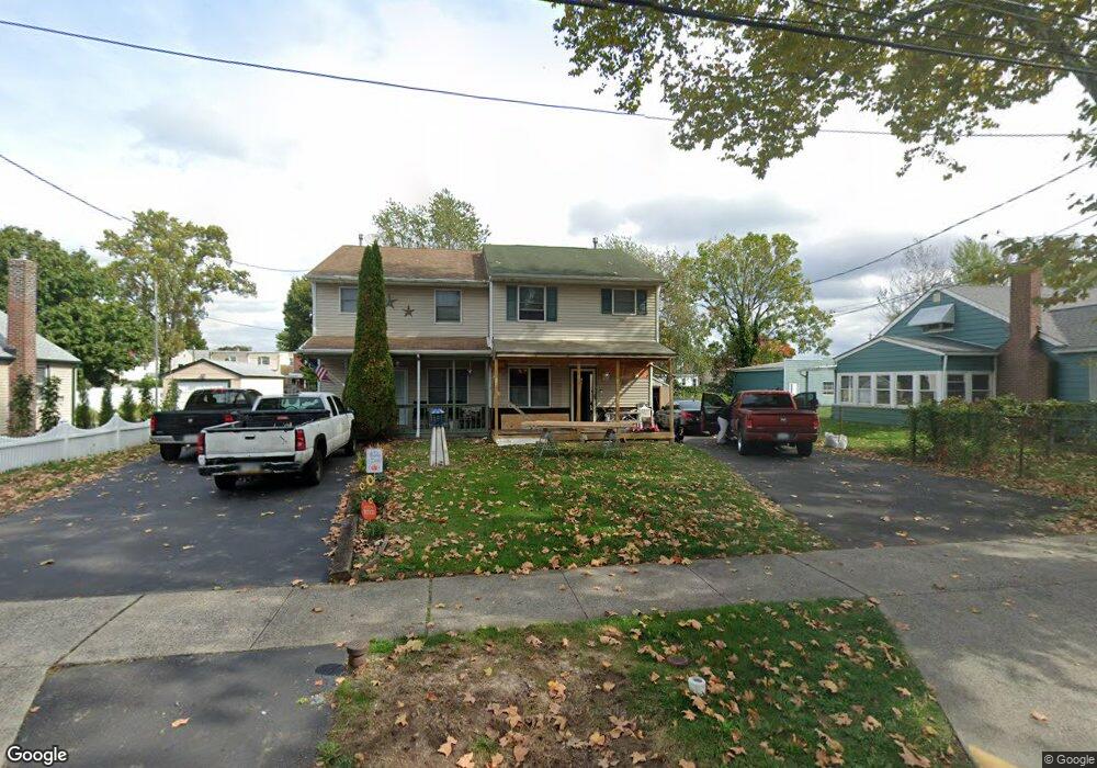
251 Hayes St Bristol, PA 19007
Estimated Value: $304,000 - $360,850
3
Beds
2
Baths
1,240
Sq Ft
$266/Sq Ft
Est. Value
About This Home
This home is located at 251 Hayes St, Bristol, PA 19007 and is currently estimated at $329,713, approximately $265 per square foot. 251 Hayes St is a home located in Bucks County with nearby schools including Snyder-Girotti Elementary School, Bristol High School, and First Presbyterian Church School.
Ownership History
Date
Name
Owned For
Owner Type
Purchase Details
Closed on
Aug 2, 2019
Sold by
Lancieri John S and Lancieri Susan
Bought by
Lancieri John S
Current Estimated Value
Home Financials for this Owner
Home Financials are based on the most recent Mortgage that was taken out on this home.
Original Mortgage
$148,500
Outstanding Balance
$114,280
Interest Rate
3.7%
Mortgage Type
Stand Alone Second
Estimated Equity
$215,433
Purchase Details
Closed on
Dec 7, 1996
Sold by
Pletnick Glenn and Pletnick Mary Rita
Bought by
Lancieri John S and Lancieri Susan
Home Financials for this Owner
Home Financials are based on the most recent Mortgage that was taken out on this home.
Original Mortgage
$86,450
Interest Rate
7.48%
Purchase Details
Closed on
Apr 10, 1989
Bought by
Pletnick Glenn
Create a Home Valuation Report for This Property
The Home Valuation Report is an in-depth analysis detailing your home's value as well as a comparison with similar homes in the area
Home Values in the Area
Average Home Value in this Area
Purchase History
| Date | Buyer | Sale Price | Title Company |
|---|---|---|---|
| Lancieri John S | -- | Tohickon Settlement Svcs Inc | |
| Lancieri John S | $91,000 | -- | |
| Pletnick Glenn | $106,800 | -- |
Source: Public Records
Mortgage History
| Date | Status | Borrower | Loan Amount |
|---|---|---|---|
| Open | Lancieri John S | $148,500 | |
| Closed | Lancieri John S | $86,450 |
Source: Public Records
Tax History Compared to Growth
Tax History
| Year | Tax Paid | Tax Assessment Tax Assessment Total Assessment is a certain percentage of the fair market value that is determined by local assessors to be the total taxable value of land and additions on the property. | Land | Improvement |
|---|---|---|---|---|
| 2025 | $5,029 | $21,600 | $5,160 | $16,440 |
| 2024 | $5,029 | $21,600 | $5,160 | $16,440 |
| 2023 | $4,986 | $21,600 | $5,160 | $16,440 |
| 2022 | $4,986 | $21,600 | $5,160 | $16,440 |
| 2021 | $4,986 | $21,600 | $5,160 | $16,440 |
| 2020 | $5,127 | $21,600 | $5,160 | $16,440 |
| 2019 | $5,105 | $21,600 | $5,160 | $16,440 |
| 2018 | $5,105 | $21,600 | $5,160 | $16,440 |
| 2017 | $5,078 | $21,600 | $5,160 | $16,440 |
| 2016 | $5,078 | $21,600 | $5,160 | $16,440 |
| 2015 | -- | $21,600 | $5,160 | $16,440 |
| 2014 | -- | $21,600 | $5,160 | $16,440 |
Source: Public Records
Map
Nearby Homes
- 221 Cleveland St
- 243 Monroe St
- 321 Taft St
- 314 Railroad Ave
- 61 Green Ln
- 2285 Seabird Dr Unit 14
- 16434 River View Cir
- 16442 River View Cir
- 16422 River View Cir
- 16352 River View Cir
- 16242 River View Cir
- 16344 River View Cir
- 16342 River View Cir
- 16322 River View Cir
- 16332 River View Cir
- 16131 River View Cir
- 16241 River View Cir
- 16232 River View Cir
- 16251 River View Cir
- 16453 River View Cir