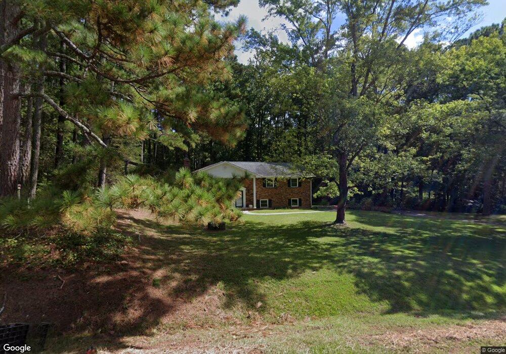
251 Hester Rd Durham, NC 27703
Eastern Durham NeighborhoodEstimated Value: $438,000 - $543,000
3
Beds
3
Baths
2,512
Sq Ft
$194/Sq Ft
Est. Value
About This Home
This home is located at 251 Hester Rd, Durham, NC 27703 and is currently estimated at $487,841, approximately $194 per square foot. 251 Hester Rd is a home located in Durham County with nearby schools including Spring Valley Elementary School, John W Neal Middle School, and Southern School of Energy & Sustainability.
Ownership History
Date
Name
Owned For
Owner Type
Purchase Details
Closed on
Mar 30, 2010
Sold by
Detweiler Gerald E and Detweiler Mildred O
Bought by
Nelson Douglas C and Nelson Angelica
Current Estimated Value
Home Financials for this Owner
Home Financials are based on the most recent Mortgage that was taken out on this home.
Original Mortgage
$176,000
Interest Rate
4.91%
Mortgage Type
New Conventional
Create a Home Valuation Report for This Property
The Home Valuation Report is an in-depth analysis detailing your home's value as well as a comparison with similar homes in the area
Home Values in the Area
Average Home Value in this Area
Purchase History
| Date | Buyer | Sale Price | Title Company |
|---|---|---|---|
| Nelson Douglas C | $220,000 | None Available |
Source: Public Records
Mortgage History
| Date | Status | Borrower | Loan Amount |
|---|---|---|---|
| Closed | Nelson Douglas C | $176,000 |
Source: Public Records
Tax History Compared to Growth
Tax History
| Year | Tax Paid | Tax Assessment Tax Assessment Total Assessment is a certain percentage of the fair market value that is determined by local assessors to be the total taxable value of land and additions on the property. | Land | Improvement |
|---|---|---|---|---|
| 2025 | $3,275 | $464,891 | $160,600 | $304,291 |
| 2024 | $2,283 | $219,508 | $61,818 | $157,690 |
| 2023 | $2,154 | $219,508 | $61,818 | $157,690 |
| 2022 | $2,067 | $219,508 | $61,818 | $157,690 |
| 2021 | $1,854 | $219,433 | $61,743 | $157,690 |
| 2020 | $1,832 | $219,433 | $61,743 | $157,690 |
| 2019 | $1,832 | $219,433 | $61,743 | $157,690 |
| 2018 | $1,868 | $204,759 | $73,185 | $131,574 |
| 2017 | $1,848 | $204,759 | $73,185 | $131,574 |
| 2016 | $1,791 | $204,759 | $73,185 | $131,574 |
| 2015 | $2,013 | $201,185 | $39,622 | $161,563 |
| 2014 | $2,013 | $201,185 | $39,622 | $161,563 |
Source: Public Records
Map
Nearby Homes
- 6021 Grey Colt Way
- 6019 Grey Colt Way
- 6019 Grey Colt Rd
- 6015 Grey Colt Way
- 513 Hester Rd
- 517 Hester Rd
- 519 Hester Rd
- 521 Hester Rd
- 525 Hester Rd
- 339 Olive Branch Rd
- 2013 English Saddle Ln
- 1102 Red Roses Ave
- 2016 English Saddle Ln
- Chadwick Plan at Triple Crown - Hanover Collection
- Mayflower III Plan at Triple Crown - Summit Collection
- Carson II Plan at Triple Crown - Designer Collection
- Tryon III Plan at Triple Crown - Summit Collection
- Clayton III Plan at Triple Crown - Summit Collection
- Davidson Plan at Triple Crown - Hanover Collection
- Landrum III Plan at Triple Crown - Summit Collection