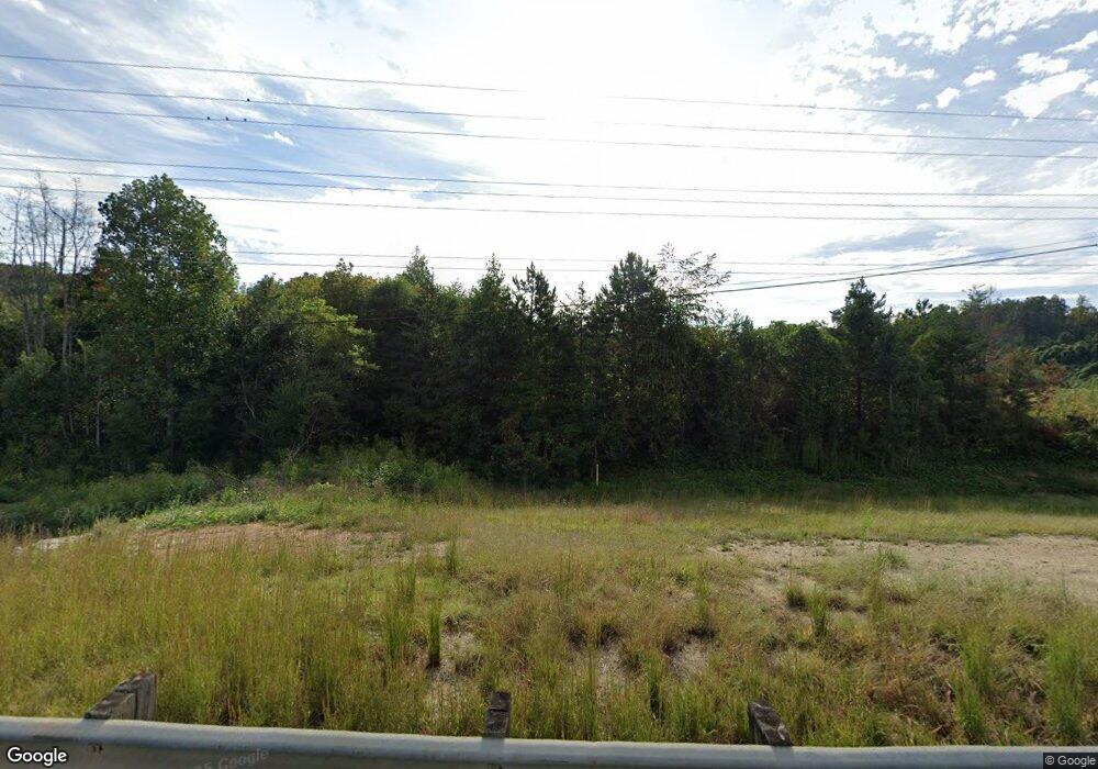
251 Highway 400 Dahlonega, GA 30533
Estimated Value: $692,348
--
Bed
--
Bath
--
Sq Ft
1.32
Acres
About This Home
This home is located at 251 Highway 400, Dahlonega, GA 30533 and is currently estimated at $692,348. 251 Highway 400 is a home located in Lumpkin County with nearby schools including Lumpkin County High School.
Ownership History
Date
Name
Owned For
Owner Type
Purchase Details
Closed on
Jun 26, 2024
Sold by
Jds Properties Llc
Bought by
Hwy 400 Land Holdings Llc
Current Estimated Value
Purchase Details
Closed on
Sep 15, 2006
Sold by
Not Provided
Bought by
J D S Properties Llc
Home Financials for this Owner
Home Financials are based on the most recent Mortgage that was taken out on this home.
Original Mortgage
$1,712,000
Interest Rate
6.48%
Mortgage Type
New Conventional
Purchase Details
Closed on
Feb 7, 2006
Sold by
Not Provided
Bought by
J D S Properties Llc
Purchase Details
Closed on
Feb 26, 1997
Sold by
Kozisek Darrell John
Bought by
Flagg Charles M
Purchase Details
Closed on
Jun 3, 1991
Sold by
Mcmahon James P
Bought by
Kozisek Darrell John
Purchase Details
Closed on
Jan 2, 1989
Bought by
Mcmahon James P
Create a Home Valuation Report for This Property
The Home Valuation Report is an in-depth analysis detailing your home's value as well as a comparison with similar homes in the area
Home Values in the Area
Average Home Value in this Area
Purchase History
| Date | Buyer | Sale Price | Title Company |
|---|---|---|---|
| Hwy 400 Land Holdings Llc | $675,000 | -- | |
| Hwy 400 Land Holdings Llc | $675,000 | -- | |
| J D S Properties Llc | -- | -- | |
| J D S Properties Llc | $750,000 | -- | |
| J D S Properties Llc | $1,100,000 | -- | |
| J D S Properties Llc | $1,100,000 | -- | |
| Flagg Charles M | $403,800 | -- | |
| Kozisek Darrell John | $715,000 | -- | |
| Mcmahon James P | $125,000 | -- |
Source: Public Records
Mortgage History
| Date | Status | Borrower | Loan Amount |
|---|---|---|---|
| Previous Owner | J D S Properties Llc | $1,712,000 |
Source: Public Records
Tax History Compared to Growth
Tax History
| Year | Tax Paid | Tax Assessment Tax Assessment Total Assessment is a certain percentage of the fair market value that is determined by local assessors to be the total taxable value of land and additions on the property. | Land | Improvement |
|---|---|---|---|---|
| 2024 | $3,415 | $145,200 | $145,200 | $0 |
| 2023 | $3,595 | $145,200 | $145,200 | $0 |
| 2022 | $3,595 | $145,200 | $145,200 | $0 |
| 2021 | $3,717 | $145,200 | $145,200 | $0 |
| 2020 | $3,830 | $145,200 | $145,200 | $0 |
Source: Public Records
Map
Nearby Homes
- 0 Long Branch Rd Unit 10271720
- 0 Long Branch Rd Unit 10271266
- 0 Long Branch Rd Unit 7357871
- 00 Long Branch Rd
- 5195 S Chestatee
- 433 Elliots Ln
- 6038 S Chestatee
- TRACT1 Panorama Dr
- 162 Stoneridge Dr
- 40 Chestatee Springs Rd
- 6439 S Chestatee
- 0 Robinson Rd Unit 10597950
- 0 Robinson Rd Unit 7643549
- 70 Deerwood Cir
- 131 Chestatee Springs Ridge
- 334 Silas Rd
- 125 Lake Laurel Dr
- 307 Eagle Overlook Dr
- 55 Flat Rock Pointe
- 0 Eagle Rest Rd Unit 13519388
- 251 Highway 400
- N Georgia 400
- 0 Long Branch Rd Unit 6079600
- 0 Long Branch Rd Unit 2A 8442595
- 0 Long Branch Rd Unit 6051272
- 0 Long Branch Rd Unit 5989296
- 0 Long Branch Rd Unit 5988458
- 0 Long Branch Rd Unit 8 8252298
- 0 Long Branch Rd Unit 5940789
- 0 Long Branch Rd Unit 8296959
- 0 Long Branch Rd Unit 8276553
- 0 Long Branch Rd Unit 5924216
- 0 Long Branch Rd Unit 5902911
- 0 Long Branch Rd Unit 5882708
- 0 Long Branch Rd Unit 5882703
- 0 Long Branch Rd Unit 3026421
- 0 Long Branch Rd Unit 3111378
- 0 Long Branch Rd Unit 3171699
- 0 Long Branch Rd Unit 7046420
- 0 Long Branch Rd Unit 7174884