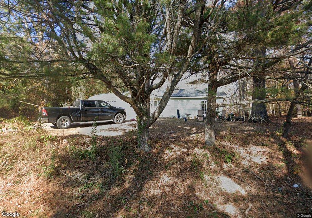
251 Jones St Blue Ridge, GA 30513
Estimated Value: $398,093 - $490,000
--
Bed
1
Bath
2,028
Sq Ft
$218/Sq Ft
Est. Value
About This Home
This home is located at 251 Jones St, Blue Ridge, GA 30513 and is currently estimated at $443,023, approximately $218 per square foot. 251 Jones St is a home located in Fannin County with nearby schools including Fannin County High School and Fannin Christian Learning Center.
Ownership History
Date
Name
Owned For
Owner Type
Purchase Details
Closed on
Oct 4, 2007
Sold by
Crawford Charlie
Bought by
Solorio Jose Perez
Current Estimated Value
Home Financials for this Owner
Home Financials are based on the most recent Mortgage that was taken out on this home.
Original Mortgage
$151,780
Interest Rate
6.44%
Mortgage Type
New Conventional
Purchase Details
Closed on
Nov 3, 2003
Sold by
United Community Bank
Bought by
Crawford Charlie
Purchase Details
Closed on
Oct 7, 2003
Sold by
Kincaid Michael E and Kincaid Connie
Bought by
United Community Bank
Purchase Details
Closed on
Jun 3, 1994
Bought by
Kincaid Michael W
Purchase Details
Closed on
Mar 27, 1990
Bought by
Kincaid Ronald W
Create a Home Valuation Report for This Property
The Home Valuation Report is an in-depth analysis detailing your home's value as well as a comparison with similar homes in the area
Home Values in the Area
Average Home Value in this Area
Purchase History
| Date | Buyer | Sale Price | Title Company |
|---|---|---|---|
| Solorio Jose Perez | $180,000 | -- | |
| Crawford Charlie | $90,000 | -- | |
| United Community Bank | $101,900 | -- | |
| Kincaid Michael W | -- | -- | |
| Kincaid Ronald W | -- | -- |
Source: Public Records
Mortgage History
| Date | Status | Borrower | Loan Amount |
|---|---|---|---|
| Closed | Solorio Jose Perez | $151,780 |
Source: Public Records
Tax History Compared to Growth
Tax History
| Year | Tax Paid | Tax Assessment Tax Assessment Total Assessment is a certain percentage of the fair market value that is determined by local assessors to be the total taxable value of land and additions on the property. | Land | Improvement |
|---|---|---|---|---|
| 2024 | $1,575 | $121,266 | $27,000 | $94,266 |
| 2023 | $1,217 | $85,405 | $20,450 | $64,955 |
| 2022 | $1,088 | $106,730 | $20,450 | $86,280 |
| 2021 | $707 | $50,453 | $14,800 | $35,653 |
| 2020 | $634 | $44,453 | $8,800 | $35,653 |
| 2019 | $610 | $41,990 | $8,800 | $33,190 |
| 2018 | $647 | $41,990 | $8,800 | $33,190 |
| 2017 | $983 | $42,401 | $8,800 | $33,601 |
| 2016 | $627 | $36,942 | $8,800 | $28,142 |
| 2015 | $662 | $37,303 | $8,800 | $28,503 |
| 2014 | $1,025 | $57,612 | $37,206 | $20,406 |
| 2013 | -- | $50,931 | $37,206 | $13,725 |
Source: Public Records
Map
Nearby Homes
- 168 Ewing St
- 426 Austin St
- Lot 19 E 2nd St
- 0 Church St Unit 418625
- 0 Church St Unit 7646732
- 0 Church St Unit 10600185
- 12 Mountain St
- 742 E 2nd St
- Lot 12 The Heights
- 225 Grand Vista Dr
- Lot 1 Saratoga Haven
- 2 & 2A Weymans Way
- Lot C6 Briar Woods Ln
- 51 Grove Loop
- C6 Briarwood Ln
- Unit 2 Grove Loop
- 100 Haven Ln
- 0 Grove Loop Unit 47
- 1 E Main St
- 154 Mountain St
- 460 Gray St
- 630 Jones Rd
- 0 Jones St Unit 111228
- LOT 3 Jones St
- 0 Jones St Unit 8049657
- 0 Jones St Unit 8620446
- 0 Jones St Unit 7179746
- 0 Jones St Unit 7093238
- LOT30 Gray St
- 6 Gray St
- #35 Jones & Grey
- #30 Gray St
- 0 Gray St
- 520 Gray St
- 66 Valley Overlook
- 537 Blue Ridge Dr
- 125 Valley Overlook
- 529 Gray St
- 55 Ewing St
- 550 Gray St