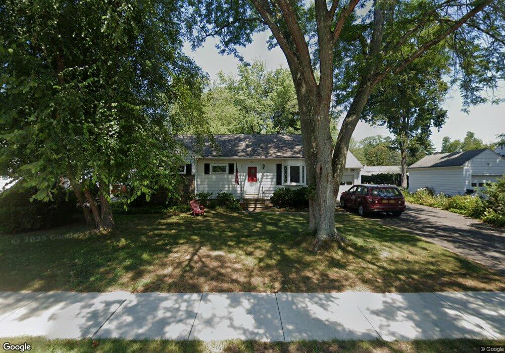
251 Kenwood Ave Delmar, NY 12054
Estimated Value: $327,000 - $352,281
3
Beds
2
Baths
1,100
Sq Ft
$307/Sq Ft
Est. Value
About This Home
This home is located at 251 Kenwood Ave, Delmar, NY 12054 and is currently estimated at $338,070, approximately $307 per square foot. 251 Kenwood Ave is a home located in Albany County with nearby schools including St. Thomas the Apostle School and Mt. Moriah Academy.
Ownership History
Date
Name
Owned For
Owner Type
Purchase Details
Closed on
Apr 20, 2016
Sold by
Garver Gisela I
Bought by
Loughlin Sheena A
Current Estimated Value
Purchase Details
Closed on
Jun 9, 2009
Sold by
Gill Hazel G
Bought by
Mcnabb Liam and Mcnabb Eileen
Home Financials for this Owner
Home Financials are based on the most recent Mortgage that was taken out on this home.
Original Mortgage
$160,000
Interest Rate
4.82%
Mortgage Type
Purchase Money Mortgage
Purchase Details
Closed on
Sep 26, 2005
Purchase Details
Closed on
Mar 18, 1997
Create a Home Valuation Report for This Property
The Home Valuation Report is an in-depth analysis detailing your home's value as well as a comparison with similar homes in the area
Home Values in the Area
Average Home Value in this Area
Purchase History
| Date | Buyer | Sale Price | Title Company |
|---|---|---|---|
| Loughlin Sheena A | $185,000 | None Available | |
| Mcnabb Liam | $188,000 | None Available | |
| -- | -- | -- | |
| -- | -- | -- |
Source: Public Records
Mortgage History
| Date | Status | Borrower | Loan Amount |
|---|---|---|---|
| Previous Owner | Mcnabb Liam | $160,000 |
Source: Public Records
Tax History Compared to Growth
Tax History
| Year | Tax Paid | Tax Assessment Tax Assessment Total Assessment is a certain percentage of the fair market value that is determined by local assessors to be the total taxable value of land and additions on the property. | Land | Improvement |
|---|---|---|---|---|
| 2024 | $5,859 | $188,000 | $60,500 | $127,500 |
| 2023 | $5,477 | $188,000 | $60,500 | $127,500 |
| 2022 | $5,492 | $188,000 | $60,500 | $127,500 |
| 2021 | $5,521 | $188,000 | $60,500 | $127,500 |
| 2020 | $5,448 | $188,000 | $60,500 | $127,500 |
| 2019 | $5,117 | $188,000 | $60,500 | $127,500 |
| 2018 | $5,183 | $188,000 | $60,500 | $127,500 |
| 2017 | $5,468 | $188,000 | $60,500 | $127,500 |
| 2016 | $5,468 | $188,000 | $60,500 | $127,500 |
| 2015 | -- | $188,000 | $60,500 | $127,500 |
| 2014 | -- | $188,000 | $60,500 | $127,500 |
Source: Public Records
Map
Nearby Homes
- 14 Maywood Rd
- 4 Woodridge Rd
- 36 Dumbarton Dr
- 65 Berwick Rd
- 10 Lincoln Ave
- 7 Snowden Ave
- 130 E Poplar Dr
- 63 Greenock Rd
- 5 Salisbury Rd
- 14 Norge Rd
- 5 Morningside Dr
- L16 Oakwood Place
- 358 Kenwood Ave
- 137A Elsmere Ave
- 2 Drury Ln
- 91 Fernbank Ave
- 113 Westchester Dr N
- 193 Bender Ln
- 25 Columbine Dr
- 64 Winne Rd
- 253 Kenwood Ave
- 247 Kenwood Ave
- 1 Hawley Ct
- 5 Greenleaf Dr
- 9 Greenleaf Dr
- 245 Kenwood Ave
- 2 Hawley Ct
- 248 Kenwood Ave
- 246 Kenwood Ave
- 13 Greenleaf Dr
- 19 Greenleaf Dr
- 250 Kenwood Ave
- 23 Greenleaf Dr
- 241 Kenwood Ave
- 240 Kenwood Ave
- 261 Kenwood Ave
- 252 Kenwood Ave
- 3 Hawley Ct
- 236 Kenwood Ave
- 254 Kenwood Ave