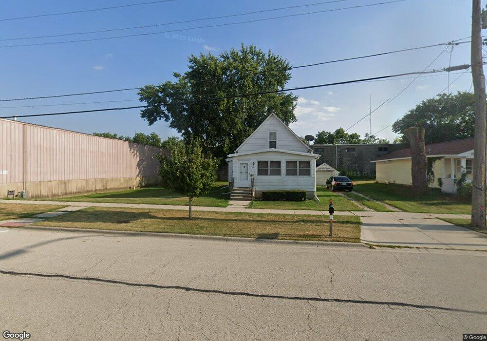
251 Keyes Ave Hampshire, IL 60140
Estimated Value: $227,000 - $322,000
3
Beds
2
Baths
1,463
Sq Ft
$180/Sq Ft
Est. Value
About This Home
This home is located at 251 Keyes Ave, Hampshire, IL 60140 and is currently estimated at $263,801, approximately $180 per square foot. 251 Keyes Ave is a home located in Kane County with nearby schools including Hampshire Elementary School, Hampshire Middle School, and Hampshire High School.
Ownership History
Date
Name
Owned For
Owner Type
Purchase Details
Closed on
Nov 15, 1996
Sold by
Baker Ronald E
Bought by
Wilson Wayne E
Current Estimated Value
Home Financials for this Owner
Home Financials are based on the most recent Mortgage that was taken out on this home.
Original Mortgage
$78,732
Outstanding Balance
$7,821
Interest Rate
8.18%
Mortgage Type
FHA
Estimated Equity
$255,980
Create a Home Valuation Report for This Property
The Home Valuation Report is an in-depth analysis detailing your home's value as well as a comparison with similar homes in the area
Home Values in the Area
Average Home Value in this Area
Purchase History
| Date | Buyer | Sale Price | Title Company |
|---|---|---|---|
| Wilson Wayne E | $79,500 | -- |
Source: Public Records
Mortgage History
| Date | Status | Borrower | Loan Amount |
|---|---|---|---|
| Open | Wilson Wayne E | $78,732 |
Source: Public Records
Tax History Compared to Growth
Tax History
| Year | Tax Paid | Tax Assessment Tax Assessment Total Assessment is a certain percentage of the fair market value that is determined by local assessors to be the total taxable value of land and additions on the property. | Land | Improvement |
|---|---|---|---|---|
| 2024 | $2,221 | $61,095 | $24,362 | $36,733 |
| 2023 | $2,373 | $54,956 | $21,914 | $33,042 |
| 2022 | $2,834 | $50,507 | $20,140 | $30,367 |
| 2021 | $2,863 | $47,643 | $18,998 | $28,645 |
| 2020 | $2,901 | $46,341 | $18,479 | $27,862 |
| 2019 | $2,836 | $44,826 | $17,875 | $26,951 |
| 2018 | $2,648 | $41,408 | $16,889 | $24,519 |
| 2017 | $2,539 | $39,770 | $16,221 | $23,549 |
| 2016 | $2,445 | $37,385 | $15,248 | $22,137 |
| 2015 | -- | $34,747 | $14,172 | $20,575 |
| 2014 | -- | $33,602 | $13,705 | $19,897 |
| 2013 | -- | $35,750 | $14,581 | $21,169 |
Source: Public Records
Map
Nearby Homes
- 862 Briar Glen Ct
- 820 Briar Glen Ct
- 804 Briar Glen Ct
- 125 Mill Ave
- 263 E Jackson Ave
- 190 Grove Ave
- Lot 0 N State St
- 421 Klick St
- 704 S State St
- 1655 Windsor Rd
- 895 S State St
- 318 Old Mill Ln
- 286 Wild Prairie Pointe
- 284 Wild Prairie Pointe
- 283 Wild Prairie Pointe
- 282 Wild Prairie Pointe
- 730 Bruce Dr
- 531 W Meadowdale Cir
- 720 James Dr
- 714 Wild Prairie Point
- 247 Keyes Ave
- 231 Keyes Ave
- 227 Keyes Ave
- 220 Keyes Ave
- 228 Washington Ave
- 242 Washington Ave
- 254 Washington Ave
- 260 Washington Ave
- 1115 Briar Glen Ct
- 1105 Briar Glen Ct
- 1109 Briar Glen Ct
- 1113 Briar Glen Ct
- 1107 Briar Glen Ct
- 1135 Briar Glen Ct
- 1123 Briar Glen Ct
- 1125 Briar Glen Ct
- 1133 Briar Glen Ct
- 1131 Briar Glen Ct
- 878 Briar Glen Ct
- 890 Briar Glen Ct