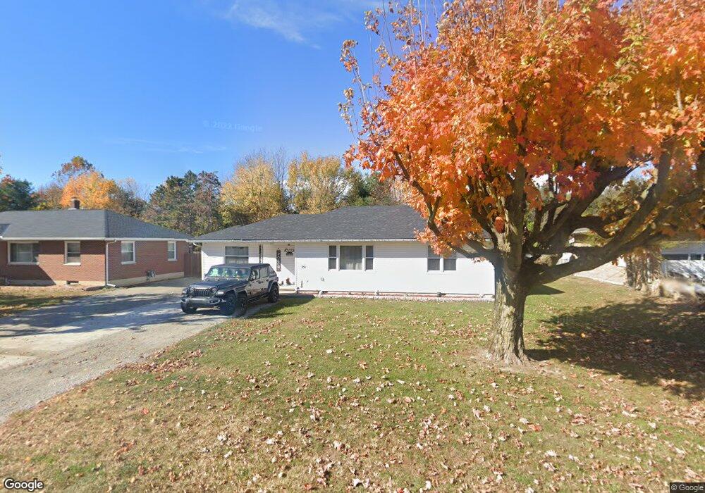
251 Main St Port William, OH 45164
Estimated Value: $100,000 - $199,000
2
Beds
1
Bath
1,395
Sq Ft
$99/Sq Ft
Est. Value
About This Home
This home is located at 251 Main St, Port William, OH 45164 and is currently estimated at $138,139, approximately $99 per square foot. 251 Main St is a home located in Clinton County with nearby schools including East End Elementary School, Denver Place Elementary School, and Roy E. Holmes Elementary School.
Ownership History
Date
Name
Owned For
Owner Type
Purchase Details
Closed on
Jun 5, 2020
Sold by
Huffman Gary T and Huffman Geralene M
Bought by
Huffman Kevin W and Huffman Crystal M
Current Estimated Value
Home Financials for this Owner
Home Financials are based on the most recent Mortgage that was taken out on this home.
Original Mortgage
$65,600
Outstanding Balance
$58,149
Interest Rate
3.2%
Mortgage Type
New Conventional
Estimated Equity
$79,990
Purchase Details
Closed on
May 14, 1999
Sold by
Binkley Randy L
Bought by
Huffman Gary T and Huffman Geralene M
Purchase Details
Closed on
Mar 13, 1997
Bought by
Binkley Randy L
Create a Home Valuation Report for This Property
The Home Valuation Report is an in-depth analysis detailing your home's value as well as a comparison with similar homes in the area
Home Values in the Area
Average Home Value in this Area
Purchase History
| Date | Buyer | Sale Price | Title Company |
|---|---|---|---|
| Huffman Kevin W | $82,000 | None Available | |
| Huffman Gary T | $63,500 | -- | |
| Binkley Randy L | $55,000 | -- |
Source: Public Records
Mortgage History
| Date | Status | Borrower | Loan Amount |
|---|---|---|---|
| Open | Huffman Kevin W | $65,600 |
Source: Public Records
Tax History Compared to Growth
Tax History
| Year | Tax Paid | Tax Assessment Tax Assessment Total Assessment is a certain percentage of the fair market value that is determined by local assessors to be the total taxable value of land and additions on the property. | Land | Improvement |
|---|---|---|---|---|
| 2024 | $1,305 | $32,730 | $3,850 | $28,880 |
| 2023 | $1,305 | $32,730 | $3,850 | $28,880 |
| 2022 | $700 | $17,240 | $2,670 | $14,570 |
| 2021 | $707 | $17,240 | $2,670 | $14,570 |
| 2020 | $704 | $17,240 | $2,670 | $14,570 |
| 2019 | $666 | $15,020 | $2,670 | $12,350 |
| 2018 | $614 | $15,020 | $2,670 | $12,350 |
| 2017 | $599 | $15,020 | $2,670 | $12,350 |
| 2016 | $704 | $17,630 | $2,960 | $14,670 |
| 2015 | $704 | $17,630 | $2,960 | $14,670 |
| 2013 | $718 | $17,630 | $2,960 | $14,670 |
Source: Public Records
Map
Nearby Homes
- 2723 Gano Rd
- 2594 Irvin Rd
- 3915 U S 68
- 5469 Davis Rd
- 3863 S Old Us Rt 68
- 3222 Maysville St
- 6355 Zimmerman Rd
- 2268 E Spring Valley Paintersville Rd
- 241 Raycon Dr
- 1861 Oh-72
- 2676 Waynesville Jamestown Rd
- 2801 N State Route 72
- 0 Apache Trail Unit 941961
- 3710 N Lakeshore Dr
- 668 New Burlington Rd
- 3511 Us Rt 22 & 3
- 0 S St Rt 73 Unit 1827681
- 1599 Garringer Rd
- 4206 N Lakeshore Dr
- 1253 Us Route 68