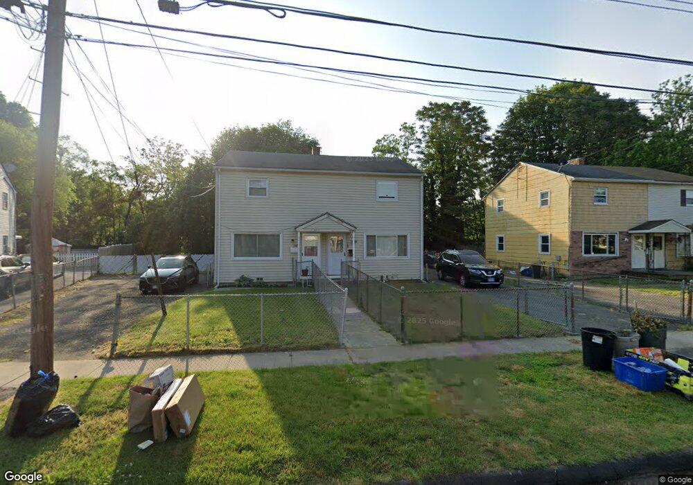
251 Mcgrath Ct Stratford, CT 06615
Stratford Center Historic District NeighborhoodEstimated Value: $251,000 - $271,415
3
Beds
2
Baths
1,094
Sq Ft
$241/Sq Ft
Est. Value
About This Home
This home is located at 251 Mcgrath Ct, Stratford, CT 06615 and is currently estimated at $263,805, approximately $241 per square foot. 251 Mcgrath Ct is a home located in Fairfield County with nearby schools including Stratford Academy - Johnson House, David Wooster Middle School, and Stratford High School.
Ownership History
Date
Name
Owned For
Owner Type
Purchase Details
Closed on
Dec 8, 1995
Sold by
Citicorp Mtg Inc
Bought by
Manente Rosemarie
Current Estimated Value
Home Financials for this Owner
Home Financials are based on the most recent Mortgage that was taken out on this home.
Original Mortgage
$46,550
Outstanding Balance
$4,292
Interest Rate
7.44%
Mortgage Type
Unknown
Estimated Equity
$259,513
Create a Home Valuation Report for This Property
The Home Valuation Report is an in-depth analysis detailing your home's value as well as a comparison with similar homes in the area
Home Values in the Area
Average Home Value in this Area
Purchase History
| Date | Buyer | Sale Price | Title Company |
|---|---|---|---|
| Manente Rosemarie | $49,000 | -- |
Source: Public Records
Mortgage History
| Date | Status | Borrower | Loan Amount |
|---|---|---|---|
| Open | Manente Rosemarie | $46,550 | |
| Previous Owner | Manente Rosemarie | $50,000 |
Source: Public Records
Tax History Compared to Growth
Tax History
| Year | Tax Paid | Tax Assessment Tax Assessment Total Assessment is a certain percentage of the fair market value that is determined by local assessors to be the total taxable value of land and additions on the property. | Land | Improvement |
|---|---|---|---|---|
| 2025 | $3,428 | $85,280 | $34,320 | $50,960 |
| 2024 | $3,428 | $85,280 | $34,320 | $50,960 |
| 2023 | $3,428 | $85,280 | $34,320 | $50,960 |
| 2022 | $3,365 | $85,280 | $34,320 | $50,960 |
| 2021 | $3,366 | $85,280 | $34,320 | $50,960 |
| 2020 | $3,380 | $85,280 | $34,320 | $50,960 |
| 2019 | $2,596 | $65,110 | $21,640 | $43,470 |
| 2018 | $2,598 | $65,110 | $21,640 | $43,470 |
| 2017 | $2,602 | $65,110 | $21,640 | $43,470 |
| 2016 | $2,539 | $65,110 | $21,640 | $43,470 |
| 2015 | $2,408 | $65,110 | $21,640 | $43,470 |
| 2014 | $2,676 | $75,100 | $22,600 | $52,500 |
Source: Public Records
Map
Nearby Homes
- 79 Wooster Ave
- 552 Sedgewick Ave
- 70 Guzzi Dr
- 106 General St
- 240 Placid Ave
- 325 Mckinley Ave
- 270 Roosevelt Ave
- 1167 South Ave
- 1460 Elm St Unit 225
- 1460 Elm St Unit 322
- 1460 Elm St Unit 132
- 161 Ryan Ave
- 1586 Main St
- 50 Birdseye St Unit 101
- 50 Birdseye St Unit 104
- 79 Boswell St
- 148 Columbus Ave
- 126 Garibaldi Ave
- 125 Garibaldi Ave
- 164 Hamilton Ave Unit 4