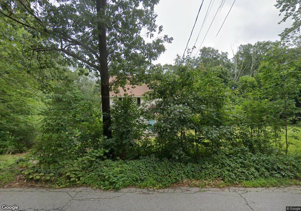
251 Middle Rd Boxborough, MA 01719
Estimated Value: $813,036 - $969,000
4
Beds
2
Baths
2,482
Sq Ft
$360/Sq Ft
Est. Value
About This Home
This home is located at 251 Middle Rd, Boxborough, MA 01719 and is currently estimated at $892,509, approximately $359 per square foot. 251 Middle Rd is a home located in Middlesex County with nearby schools including Acton-Boxborough Regional High School.
Ownership History
Date
Name
Owned For
Owner Type
Purchase Details
Closed on
May 28, 1993
Sold by
Pozerycki Jeffrey J and Pozerycki Deniele A
Bought by
Viggh Herbert E M and Viggh Julia B
Current Estimated Value
Purchase Details
Closed on
Mar 2, 1992
Sold by
Richardson David A and Richardson Lisa M
Bought by
Pozerycki Jeffrey J and Pozerycki Deniele
Create a Home Valuation Report for This Property
The Home Valuation Report is an in-depth analysis detailing your home's value as well as a comparison with similar homes in the area
Home Values in the Area
Average Home Value in this Area
Purchase History
| Date | Buyer | Sale Price | Title Company |
|---|---|---|---|
| Viggh Herbert E M | $187,000 | -- | |
| Viggh Herbert E | $187,000 | -- | |
| Viggh Herbert E | $187,000 | -- | |
| Pozerycki Jeffrey J | $165,500 | -- | |
| Pozerycki Jeffrey J | $165,500 | -- | |
| Pozerycki Jeffrey J | $165,000 | -- |
Source: Public Records
Mortgage History
| Date | Status | Borrower | Loan Amount |
|---|---|---|---|
| Open | Pozerycki Jeffrey J | $320,000 | |
| Closed | Pozerycki Jeffrey J | $25,000 |
Source: Public Records
Tax History Compared to Growth
Tax History
| Year | Tax Paid | Tax Assessment Tax Assessment Total Assessment is a certain percentage of the fair market value that is determined by local assessors to be the total taxable value of land and additions on the property. | Land | Improvement |
|---|---|---|---|---|
| 2025 | $10,123 | $668,600 | $281,900 | $386,700 |
| 2024 | $9,360 | $624,400 | $270,500 | $353,900 |
| 2023 | $8,924 | $575,000 | $232,300 | $342,700 |
| 2022 | $8,815 | $506,000 | $232,300 | $273,700 |
| 2020 | $8,036 | $480,600 | $232,300 | $248,300 |
| 2019 | $115 | $480,600 | $232,300 | $248,300 |
| 2018 | $7,480 | $455,000 | $221,500 | $233,500 |
| 2017 | $7,494 | $445,800 | $221,500 | $224,300 |
| 2016 | $7,144 | $436,700 | $221,500 | $215,200 |
| 2015 | $6,827 | $410,000 | $199,400 | $210,600 |
| 2014 | $6,857 | $387,600 | $193,600 | $194,000 |
Source: Public Records
Map
Nearby Homes
- 777 Depot Rd
- 139 Picnic St
- 1155 Burroughs Rd
- 89 School House Ln
- 96 Cedarwood Rd
- 62 Waite Rd
- 134 Russet Ln
- 68 Macintosh Ln
- 58 Spencer Rd Unit 18K
- 50 Spencer Rd Unit 36
- 53 Swanson Ct Unit 36C
- 63 Leonard Rd Unit 63
- 42 Swanson Ct Unit 14A
- 220 Swanson Rd Unit 605
- 220 Swanson Rd Unit 606
- 176 Swanson Rd Unit 309
- 30 Paul Revere Rd
- 5 Elm St Unit 1
- 310 Codman Hill Rd Unit 35D
- 9 Elm St Unit 1