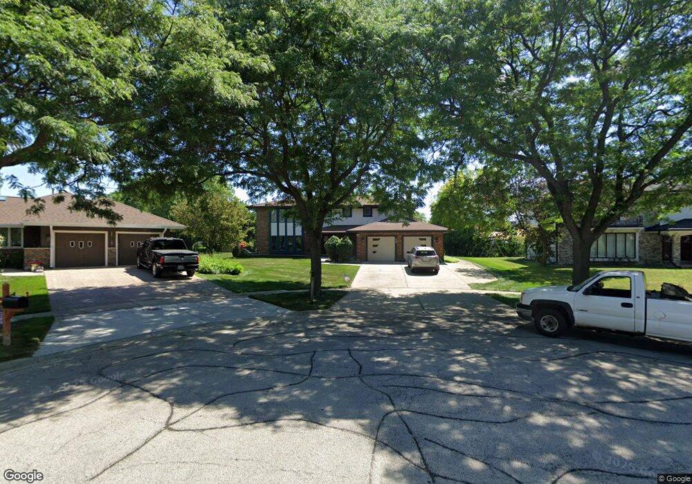
251 Monson Ct Schaumburg, IL 60173
East Schaumburg NeighborhoodEstimated Value: $731,000 - $808,000
4
Beds
4
Baths
3,157
Sq Ft
$239/Sq Ft
Est. Value
About This Home
This home is located at 251 Monson Ct, Schaumburg, IL 60173 and is currently estimated at $755,200, approximately $239 per square foot. 251 Monson Ct is a home located in Cook County with nearby schools including Fairview Elementary School, Margaret Mead Junior High School, and J B Conant High School.
Ownership History
Date
Name
Owned For
Owner Type
Purchase Details
Closed on
Oct 29, 1995
Sold by
Salvi Kalidas R and Salvi Kusumben K
Bought by
Salvi Kalidas R and Salvi Kusumben K
Current Estimated Value
Purchase Details
Closed on
Jul 8, 1994
Sold by
Charter Bank & Trust Na
Bought by
Salvi Kalidas R and Salvi Kusumben K
Home Financials for this Owner
Home Financials are based on the most recent Mortgage that was taken out on this home.
Original Mortgage
$220,000
Interest Rate
5.87%
Purchase Details
Closed on
Oct 11, 1993
Sold by
Hou Zong D
Bought by
Charter Bank & Trust Na and Charter Bank & Trust Of Illinois
Create a Home Valuation Report for This Property
The Home Valuation Report is an in-depth analysis detailing your home's value as well as a comparison with similar homes in the area
Home Values in the Area
Average Home Value in this Area
Purchase History
| Date | Buyer | Sale Price | Title Company |
|---|---|---|---|
| Salvi Kalidas R | -- | -- | |
| Salvi Kalidas R | $275,000 | -- | |
| Charter Bank & Trust Na | -- | -- |
Source: Public Records
Mortgage History
| Date | Status | Borrower | Loan Amount |
|---|---|---|---|
| Closed | Salvi Kalidas R | $220,000 |
Source: Public Records
Tax History Compared to Growth
Tax History
| Year | Tax Paid | Tax Assessment Tax Assessment Total Assessment is a certain percentage of the fair market value that is determined by local assessors to be the total taxable value of land and additions on the property. | Land | Improvement |
|---|---|---|---|---|
| 2024 | $8,057 | $52,001 | $12,416 | $39,585 |
| 2023 | $8,060 | $52,001 | $12,416 | $39,585 |
| 2022 | $8,060 | $52,001 | $12,416 | $39,585 |
| 2021 | $8,757 | $42,928 | $9,311 | $33,617 |
| 2020 | $8,017 | $42,928 | $9,311 | $33,617 |
| 2019 | $7,975 | $47,698 | $9,311 | $38,387 |
| 2018 | $8,944 | $44,749 | $7,932 | $36,817 |
| 2017 | $8,649 | $44,749 | $7,932 | $36,817 |
| 2016 | $12,361 | $44,749 | $7,932 | $36,817 |
| 2015 | $10,399 | $39,256 | $6,897 | $32,359 |
| 2014 | $10,742 | $41,673 | $6,897 | $34,776 |
| 2013 | $12,015 | $41,673 | $6,897 | $34,776 |
Source: Public Records
Map
Nearby Homes
- 1527 Lexington Cir
- 1535 Columbine Dr Unit 1
- 1300 Woodside Ct Unit B1
- 15 Bar Harbour Rd Unit 4F
- 1257 Rosewood Ct Unit D1
- 151 Brookston Dr Unit A2
- 1301 Timberwood Ct Unit D1
- 263 Driftwood Ln Unit 2D
- 1250 Woodfield Rd
- 274 Buckingham Ct Unit D2
- 1264 Williamsburg Dr Unit D2
- 1251 Williamsburg Dr Unit D-1
- 327 Wildberry Ct Unit D2
- 375 Pinetree Ln Unit D-1
- 1221 Plum Tree Ct Unit 5481RD
- 391 Thornhill Ct Unit B1
- 402 Sandalwood Ln Unit C1
- 751 Edgelake Point Unit 68C
- 373 Southbury Ct Unit D-1
- 1386 Scarboro Rd Unit 1102