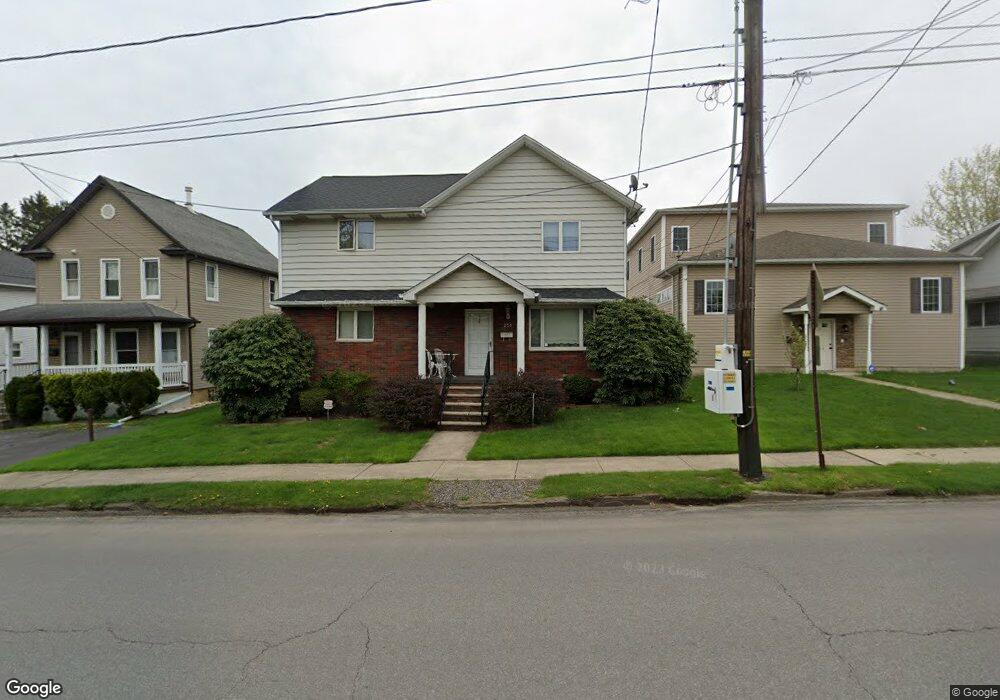
251 N Main St Archbald, PA 18403
Estimated Value: $235,525 - $289,000
--
Bed
--
Bath
--
Sq Ft
7,492
Sq Ft Lot
About This Home
This home is located at 251 N Main St, Archbald, PA 18403 and is currently estimated at $262,631. 251 N Main St is a home located in Lackawanna County with nearby schools including Valley View Intermediate School, Valley View Middle School, and Valley View High School.
Ownership History
Date
Name
Owned For
Owner Type
Purchase Details
Closed on
Apr 27, 2020
Sold by
Martin Rebecca R and Estate Of Norma Piersimoni
Bought by
Whitman Walter D
Current Estimated Value
Home Financials for this Owner
Home Financials are based on the most recent Mortgage that was taken out on this home.
Original Mortgage
$154,761
Outstanding Balance
$137,140
Interest Rate
3.3%
Mortgage Type
FHA
Estimated Equity
$125,491
Purchase Details
Closed on
Jul 29, 2008
Sold by
Martin Rebecca R and Martin Andrew F
Bought by
Piersimoni Norma and Piersimoni George
Create a Home Valuation Report for This Property
The Home Valuation Report is an in-depth analysis detailing your home's value as well as a comparison with similar homes in the area
Home Values in the Area
Average Home Value in this Area
Purchase History
| Date | Buyer | Sale Price | Title Company |
|---|---|---|---|
| Whitman Walter D | $171,000 | None Available | |
| Piersimoni Norma | -- | None Available |
Source: Public Records
Mortgage History
| Date | Status | Borrower | Loan Amount |
|---|---|---|---|
| Open | Whitman Walter D | $154,761 |
Source: Public Records
Tax History Compared to Growth
Tax History
| Year | Tax Paid | Tax Assessment Tax Assessment Total Assessment is a certain percentage of the fair market value that is determined by local assessors to be the total taxable value of land and additions on the property. | Land | Improvement |
|---|---|---|---|---|
| 2025 | $2,315 | $9,000 | $2,000 | $7,000 |
| 2024 | $1,986 | $9,000 | $2,000 | $7,000 |
| 2023 | $1,986 | $9,000 | $2,000 | $7,000 |
| 2022 | $1,924 | $9,000 | $2,000 | $7,000 |
| 2021 | $1,920 | $9,000 | $2,000 | $7,000 |
| 2020 | $1,884 | $9,000 | $2,000 | $7,000 |
| 2019 | $1,747 | $9,000 | $2,000 | $7,000 |
| 2018 | $1,716 | $9,000 | $2,000 | $7,000 |
| 2017 | $1,707 | $9,000 | $2,000 | $7,000 |
| 2016 | $827 | $9,000 | $2,000 | $7,000 |
| 2015 | -- | $9,000 | $2,000 | $7,000 |
| 2014 | -- | $9,000 | $2,000 | $7,000 |
Source: Public Records
Map
Nearby Homes
- 818 Henry St
- 287 Main St Unit REAR STURGES
- 0 Joel (Lot 30) Dr
- 0 Ledgewood Dr
- 462 Delaware St
- 0 Skyline Dr
- 0 Forest Ln
- 1104 E Filbert St
- 197 Columbus Dr
- 1108 Filbert St
- 217 219 Laurel St
- 1119 E State St
- 00 Hickory St
- 112 Pine St
- 140 Cemetery St
- 116 S Main St
- 446 Kennedy Dr
- 0 Joel (Lot 4) Dr
- 1317 Crestwood Dr
- 0 Joel (Lot 49) Dr Unit GSBSC3076