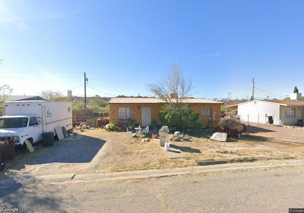
251 N Scott Ave Benson, AZ 85602
Estimated Value: $95,000 - $185,000
Studio
--
Bath
1,008
Sq Ft
$125/Sq Ft
Est. Value
About This Home
This home is located at 251 N Scott Ave, Benson, AZ 85602 and is currently estimated at $126,188, approximately $125 per square foot. 251 N Scott Ave is a home with nearby schools including Benson Primary School, Benson Middle School, and Benson High School.
Ownership History
Date
Name
Owned For
Owner Type
Purchase Details
Closed on
Aug 23, 2019
Sold by
Cushman Andrew
Bought by
Lercher Heidi
Current Estimated Value
Purchase Details
Closed on
Aug 13, 2013
Sold by
Gehris Tammy L
Bought by
Cushman Andrew T and Lercher Heidi M
Home Financials for this Owner
Home Financials are based on the most recent Mortgage that was taken out on this home.
Original Mortgage
$39,500
Interest Rate
4.28%
Mortgage Type
Seller Take Back
Create a Home Valuation Report for This Property
The Home Valuation Report is an in-depth analysis detailing your home's value as well as a comparison with similar homes in the area
Home Values in the Area
Average Home Value in this Area
Purchase History
| Date | Buyer | Sale Price | Title Company |
|---|---|---|---|
| Lercher Heidi | -- | None Available | |
| Cushman Andrew T | $39,500 | Pioneer Title Agency Inc |
Source: Public Records
Mortgage History
| Date | Status | Borrower | Loan Amount |
|---|---|---|---|
| Previous Owner | Cushman Andrew T | $39,500 |
Source: Public Records
Tax History
| Year | Tax Paid | Tax Assessment Tax Assessment Total Assessment is a certain percentage of the fair market value that is determined by local assessors to be the total taxable value of land and additions on the property. | Land | Improvement |
|---|---|---|---|---|
| 2025 | $709 | $8,061 | $1,200 | $6,861 |
| 2024 | $709 | $7,249 | $1,200 | $6,049 |
| 2023 | $678 | $6,305 | $1,200 | $5,105 |
| 2022 | $643 | $5,663 | $1,200 | $4,463 |
| 2021 | $662 | $5,215 | $1,200 | $4,015 |
| 2020 | $638 | $0 | $0 | $0 |
| 2019 | $652 | $0 | $0 | $0 |
| 2018 | $617 | $0 | $0 | $0 |
| 2017 | $664 | $0 | $0 | $0 |
| 2016 | $696 | $0 | $0 | $0 |
| 2015 | $704 | $0 | $0 | $0 |
Source: Public Records
Map
Nearby Homes
- 238 N Tawni Dr Unit 23
- 646 E Tawni Dr
- 253 E 2nd St Unit 9
- 280 E Flint St
- 524 E 6th St
- 455 E Mark St
- TBD E Mark St
- 264 E Flint St Unit 11
- 275 E Mark St
- TBD E 6th St Unit 3
- TBD E 6th St
- 165 E 6th St
- 162 W Flint St
- 454 N Pomerene Rd
- 487 E Patrick Dr
- 1055 N Pomerene Rd
- 138 E 6th St
- 560 N Adams St
- 658 E Elm St
- 612 N Adams St
- 247 N Scott Ave
- 269 N Scott Ave
- 235 N Scott Ave
- 252 N Scott Ave
- 273 N Scott Ave
- 268 N Scott Ave
- 236 N Scott Ave
- 272 N Scott Ave
- 223 N Scott Ave
- 234 N County Rd
- 224 N Scott Ave
- 286 N Scott Ave
- 249 N Orr Ave
- 267 N Orr Ave
- 291 N Scott Ave
- 232 N County Rd
- 217 N Scott Ave
- 271 N Orr Ave
- 233 N Orr Ave
- 0 Vacant Land - E Pearl St