251 Peachtree Cir Murrayville, GA 30564
Murrayville NeighborhoodEstimated Value: $261,556 - $329,000
--
Bed
1
Bath
1,487
Sq Ft
$192/Sq Ft
Est. Value
About This Home
This home is located at 251 Peachtree Cir, Murrayville, GA 30564 and is currently estimated at $286,139, approximately $192 per square foot. 251 Peachtree Cir is a home located in Lumpkin County with nearby schools including Clay County Middle School and Lumpkin County High School.
Ownership History
Date
Name
Owned For
Owner Type
Purchase Details
Closed on
Sep 2, 2025
Sold by
Hicks Timothy R
Bought by
Caldwell Kimberly D and Reece Stacy H
Current Estimated Value
Purchase Details
Closed on
Sep 17, 2024
Sold by
Hicks Timothy R
Bought by
Caldwell Andy and Caldwell Kim
Purchase Details
Closed on
Apr 24, 2018
Sold by
Reece Stacy Y
Bought by
Reece Steven D and Reece Stacy H
Purchase Details
Closed on
Mar 27, 2017
Sold by
Watkins Tammy
Bought by
Reese Stacy Y and Reese Steven Duwayne
Purchase Details
Closed on
Nov 23, 2016
Sold by
Timothy R
Bought by
Wakins Tammy R and Watkins Jason Larry
Purchase Details
Closed on
Jan 23, 2001
Bought by
Hicks Timothy
Create a Home Valuation Report for This Property
The Home Valuation Report is an in-depth analysis detailing your home's value as well as a comparison with similar homes in the area
Home Values in the Area
Average Home Value in this Area
Purchase History
| Date | Buyer | Sale Price | Title Company |
|---|---|---|---|
| Caldwell Kimberly D | -- | -- | |
| Caldwell Andy | -- | -- | |
| Reece Steven D | -- | -- | |
| Reese Stacy Y | -- | -- | |
| Wakins Tammy R | -- | -- | |
| Hicks Timothy | -- | -- |
Source: Public Records
Tax History Compared to Growth
Tax History
| Year | Tax Paid | Tax Assessment Tax Assessment Total Assessment is a certain percentage of the fair market value that is determined by local assessors to be the total taxable value of land and additions on the property. | Land | Improvement |
|---|---|---|---|---|
| 2024 | $151 | $85,124 | $29,450 | $55,674 |
| 2023 | $115 | $79,489 | $27,523 | $51,966 |
| 2022 | $23 | $70,325 | $22,937 | $47,388 |
| 2021 | $1,771 | $62,436 | $22,937 | $39,499 |
| 2020 | $1,713 | $60,390 | $21,977 | $38,413 |
| 2019 | $1,713 | $60,390 | $21,977 | $38,413 |
| 2018 | $1,593 | $56,136 | $21,977 | $34,159 |
| 2017 | $0 | $55,874 | $21,977 | $33,897 |
| 2016 | $460 | $75,738 | $42,863 | $32,875 |
| 2015 | $404 | $75,738 | $42,863 | $32,875 |
| 2014 | $404 | $76,325 | $42,863 | $33,462 |
| 2013 | -- | $0 | $0 | $0 |
Source: Public Records
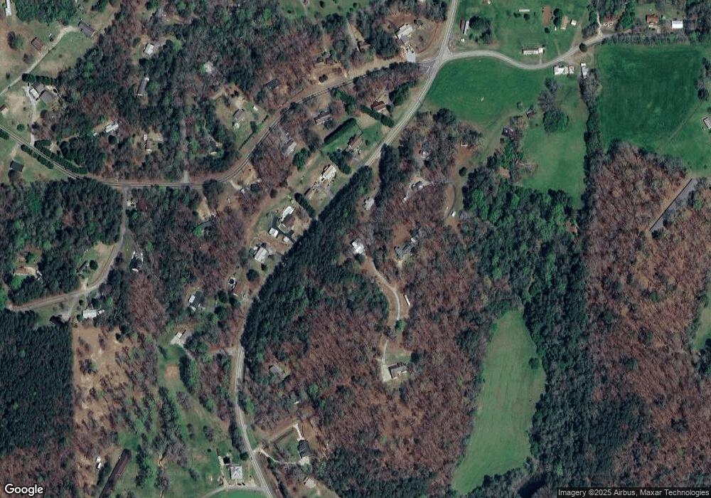
Map
Nearby Homes
- 380 Copper Mill Rd
- 128 Young Deer Dr
- 87 Tolleffs Trail
- 6480 Highway 52 W
- 202 Indian Trail
- 0 Arborwood Dr Unit 10645890
- 600 Chapman Ridge Ln
- 500 Chapman Ridge Ln
- 27.68 Chapman Ridge Ln
- 83 Austin Ct
- 100 Rocky Branch Dr
- 86.99 Acres Mincie Mountain
- 23.86 Acres Mincie Mountain
- 20.65 Acres Mincie Mountain
- 42.65 Acres Mincie Mountain
- 138 Souther Trail
- 877 Copper Mines Rd
- 150 Peachtree Cir
- 877 Copper Mines Rd
- 923 Copper Mines Rd
- 34 Souther Trail
- 861 Copper Mines Rd
- 965 Copper Mines Rd
- 691 Norman Bell Rd
- 31 Souther Trail
- 815 Copper Mines Rd
- 650 Norman Bell Rd
- 730 Norman Bell Rd
- 728 Copper Mines Rd
- 812 Norman Bell Rd
- 801 Copper Mines Rd Unit 11
- 716 Copper Mines Rd
- 40 Kit Ct
- 38 Jessica Trail
- 86 Kit Ct