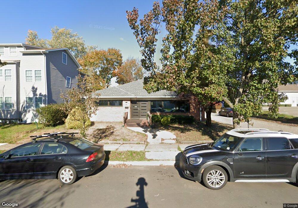
251 Powers St New Brunswick, NJ 08901
Estimated Value: $937,086
--
Bed
--
Bath
3,800
Sq Ft
$247/Sq Ft
Est. Value
About This Home
This home is located at 251 Powers St, New Brunswick, NJ 08901 and is currently estimated at $937,086, approximately $246 per square foot. 251 Powers St is a home located in Middlesex County with nearby schools including New Brunswick High School, Central Jersey College Prep Charter School, and St. Mary of Mount Virgin School.
Ownership History
Date
Name
Owned For
Owner Type
Purchase Details
Closed on
Sep 21, 2012
Sold by
Rangala Beatrice
Bought by
Quality Partner Llc
Current Estimated Value
Home Financials for this Owner
Home Financials are based on the most recent Mortgage that was taken out on this home.
Original Mortgage
$352,000
Interest Rate
3.62%
Mortgage Type
Commercial
Create a Home Valuation Report for This Property
The Home Valuation Report is an in-depth analysis detailing your home's value as well as a comparison with similar homes in the area
Home Values in the Area
Average Home Value in this Area
Purchase History
| Date | Buyer | Sale Price | Title Company |
|---|---|---|---|
| Quality Partner Llc | $440,000 | Trident Abstract Title Agenc |
Source: Public Records
Mortgage History
| Date | Status | Borrower | Loan Amount |
|---|---|---|---|
| Closed | Quality Partner Llc | $352,000 |
Source: Public Records
Tax History Compared to Growth
Tax History
| Year | Tax Paid | Tax Assessment Tax Assessment Total Assessment is a certain percentage of the fair market value that is determined by local assessors to be the total taxable value of land and additions on the property. | Land | Improvement |
|---|---|---|---|---|
| 2025 | $12,933 | $493,800 | $262,500 | $231,300 |
| 2024 | $12,557 | $493,800 | $262,500 | $231,300 |
| 2023 | $12,557 | $493,800 | $262,500 | $231,300 |
| 2022 | $12,291 | $493,800 | $262,500 | $231,300 |
| 2021 | $9,118 | $493,800 | $262,500 | $231,300 |
| 2020 | $12,197 | $493,800 | $262,500 | $231,300 |
| 2019 | $11,965 | $493,800 | $262,500 | $231,300 |
| 2018 | $11,693 | $493,800 | $262,500 | $231,300 |
| 2017 | $11,229 | $493,800 | $262,500 | $231,300 |
| 2016 | $18,114 | $308,800 | $40,000 | $268,800 |
| 2015 | $17,682 | $308,800 | $40,000 | $268,800 |
| 2014 | $17,367 | $308,800 | $40,000 | $268,800 |
Source: Public Records
Map
Nearby Homes
- 294 Howard St
- 11 Edgeworth Place
- 158 Lee Ave
- 130 Joyce Kilmer Ave
- 14 Edgeworth Place
- 114 Joyce Kilmer Ave
- 200 Talmadge St
- 163 Livingston Ave
- 201 Fulton St
- 216 Handy St
- 184 Lawrence St
- 267 Handy St
- 25 Rutgers St
- 264 Seaman St
- 128 Remsen Ave Unit A
- 128A Remsen Ave
- 122 Lawrence St Unit 26
- 340 Livingston Ave
- 375 Delavan St
- 47 Jersey Ave
- 255 Powers St
- 260 Sandford St
- 257 Powers St
- 262 Sandford St
- 259 Powers St
- 259 Powers St Unit 1st f
- 259 Powers St Unit A
- 264 Sandford St
- 246 Powers St
- 266 Sandford St
- 244 Powers St
- 261 Powers St
- 248 Powers St
- 250 Powers St
- 268 Sandford St
- 263 Powers St
- 272 Sandford St
- 252 Powers St
- 265 Powers St
- 274 Sandford St